GISDAY: R AND GIS Stephen Roecker Soil Scientist & GIS Specialist USDA-NRCS Soil Science Division Indianapolis

Welcome message from author
This document is posted to help you gain knowledge. Please leave a comment to let me know what you think about it! Share it to your friends and learn new things together.
Transcript

GISDAY: R AND GIS Stephen Roecker Soil Scientist & GIS Specialist USDA-NRCS Soil Science Division Indianapolis

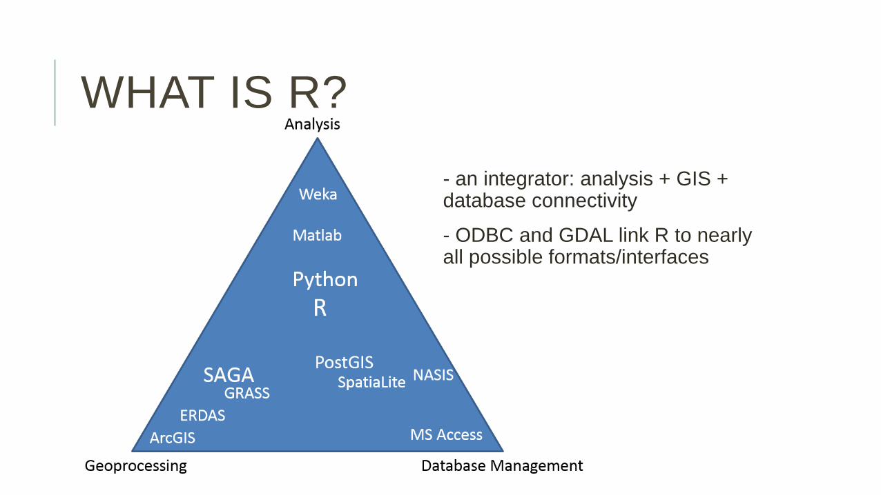
WHAT IS R?
- an analysis platform: calculator, statistics, GIS, Remote Sensing, Raster Modeling, etc...
- programming language: object oriented
- reproducible research: text + code + graphics
WHAT IS R?
- an integrator: analysis + GIS + database connectivity
- ODBC and GDAL link R to nearly all possible formats/interfaces
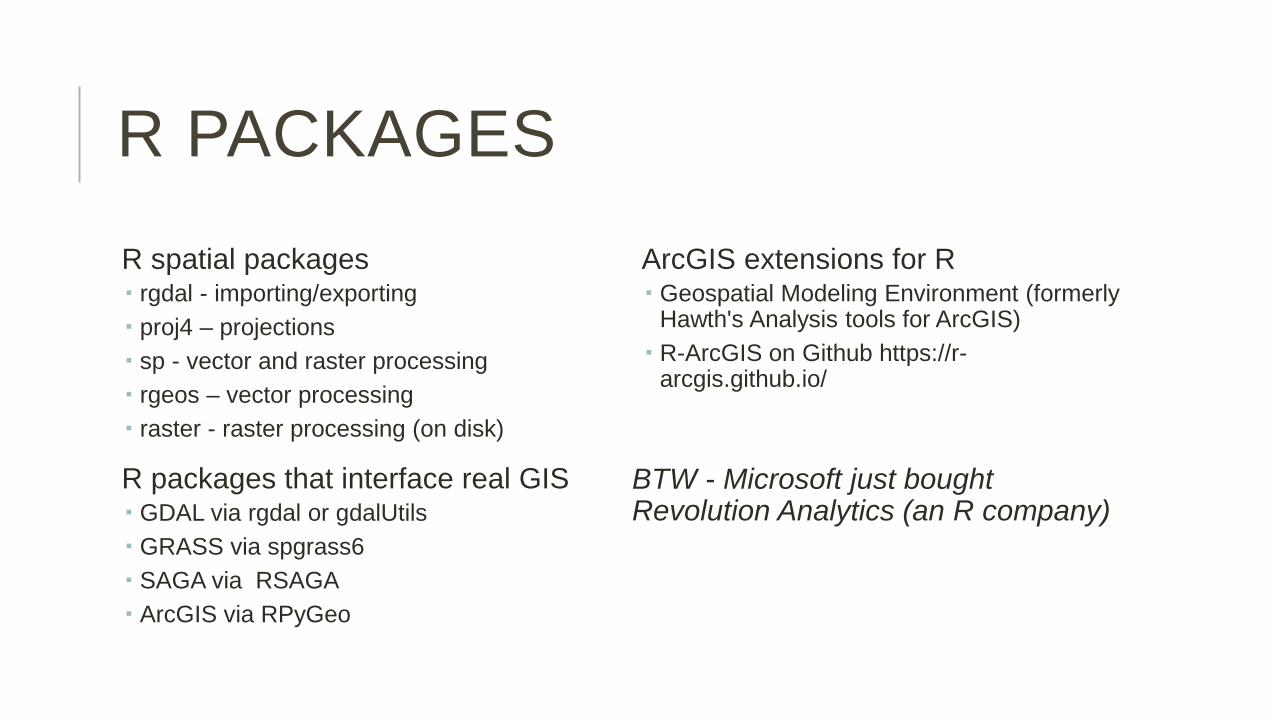
R PACKAGES
R spatial packages rgdal - importing/exporting proj4 – projections sp - vector and raster processing rgeos – vector processing raster - raster processing (on disk)
R packages that interface real GIS GDAL via rgdal or gdalUtils GRASS via spgrass6 SAGA via RSAGA ArcGIS via RPyGeo
ArcGIS extensions for R Geospatial Modeling Environment (formerly
Hawth's Analysis tools for ArcGIS) R-ArcGIS on Github https://r-
arcgis.github.io/
BTW - Microsoft just bought Revolution Analytics (an R company)

R BASICS

R BASICS

POINT DATA

POINT DATA

POINT DATA

YOU LOST ME!
"Why would I want to code my GIS work, that's why I never bothered to learned GRASS?“
1. Automate/Reduce Repetition (oh yeah) 1. Downloading data 2. Geoprocessing data 3. Analyzing data
2. Reproducible Research (the foundation of SCIENCE!!!) 1. Documenting your steps (its more compact) 2. Sharing your work https://github.com/ncss-tech

SAGA AND R

SAGA AND R

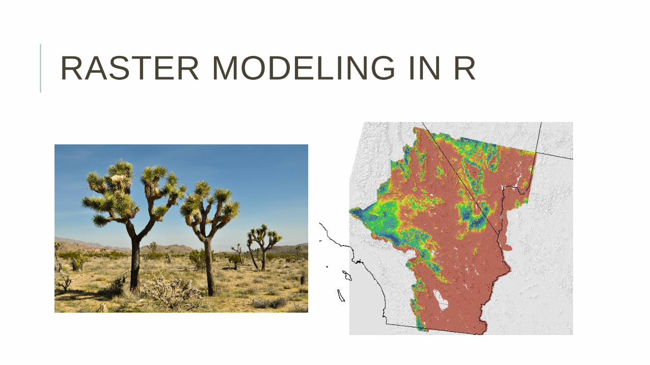
RASTER MODELING IN R
Summary 1. Collect point data 2. Prep point data 3. Extract intersection of point data with
other ancillary spatial data 4. Prep point and ancillary data 5. Explore the data 6. Fit a statistical model 7. Predict the model spatially

RASTER MODELING IN R

RASTER MODELING IN R

RASTER MODELING IN R

RASTER MODELING IN R

RASTER MODELING IN R
RASTER MODELING IN R
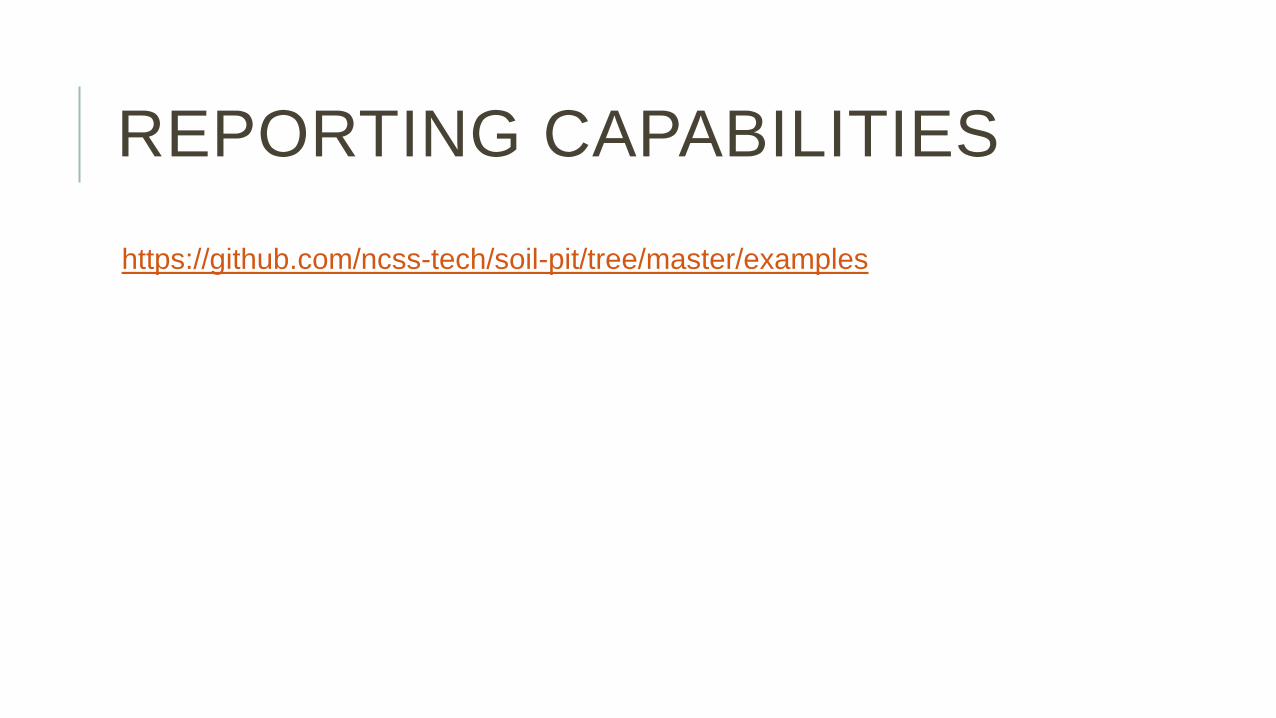
REPORTING CAPABILITIES
https://github.com/ncss-tech/soil-pit/tree/master/examples

R GIS RESOURCES
Websites CRAN Spatial View - https://cran.r-project.org/web/views/Spatial.html
Mailing list R-SIG-Geo (be sure and ask nice) stackoverflow
Books A Practical Guide to Geostatistical Mapping Applied Spatial Data Analysis with R Learning R for Geospatial Analysis An Introduction to R for Spatial Analysis & Mapping

QUESTIONS
?
Related Documents