LADOTD’s New Geotechnical GIS Database Scott L. Deaton, Ph.D. President

Welcome message from author
This document is posted to help you gain knowledge. Please leave a comment to let me know what you think about it! Share it to your friends and learn new things together.
Transcript

LADOTD’s New Geotechnical
GIS Database
Scott L. Deaton,
Ph.D. President

Traditional Process

Digital Data Management Process

DOTD gINT Files Overview
Borehole Data
Samples, layers, water levels, drilling notes,
etc.
Laboratory Test Data – with all data
Atterberg Limits
Sieve/Hydrometer
Specific Gravity
Proctor
Unconfined Compression
Chemical testing

DOTD gINT Files Overview
Laboratory Test Data – with only results &
associated data file
Consolidation, Triaxial, Direct Shear
CPT Data
Vane Shear Data
Test Pile Load Test Data

Coordinate Conversion
Convert from State Plane or UTM to
Latitude/Longitude or vice versa
Converts when either Latitude/Longitude
or North/East fields are blank

Security Tool
Allows users to customize gINT interface
depending on the role of the user
Interface can be adjusted by:
Project Purpose (project type)
Role based on Windows Login/Domain

Security Tool Features
Tailor the user interface to fit users
specific needs
Set permissions to limit the data to which
they should have access

Validation Rules
Each table has validation rules
Permissions related rules
Add/edit/delete permission
Calculations
N-value from blow counts
Water content from raw data
Liquid Limit, Plastic Limit, soil classification, etc.
Reality Check
Depth for a record <= bottom of hole
Bottom depth > Top depth (samples, layers, etc)

RAPID CPT

RAPID CPT Importers
Vertek (no specific
file extension) it is
the depth where
test occurred
Hogentogler (.dis)
Fugro (.tim)
A P Van den Berg
(.gru)
LADOT**
Vertek (.ecp, .dat)
Hogentogler
(Analog/Digital) – (.cpd,
.cpt)
A B Geotech (.cpt, .cpd)
Fugro (.dep)
A P Van den Berg (.gru)
Others see manual
Pore Pressure Dissipation
Tip, Sleeve, Pore Pressure, etc.

Seismic Importers
P-Wave Velocity (.xls)
S-Wave Velocity (.xls)

Calculated Parameters
Normalized Soil Behavior Type (1990)
Soil Behavior Type (1986)
Fuzzy Classification**
Probabilistic Classification**
Ic – Material Index
Qt – normalized tip resistance
Bq – normalized pore pressure
Fr – normalized friction ratio
RF – friction ratio
Density (r)
Relative Density (Dr)
Shear Wave Velocity
Rigidity Index (Ir)
Void Ratio (e0)
Effective Friction Angle (f’)
Constrained Modulus (M)
Coefficient of Lateral Earth Pressure (K0)
Undrained Shear Strength (Su)
Overconsolidation Ratio (OCR)
Sensitivity
Fines Content
Equivalent (N1)60
Ed
Id
Kd
Many others - refer to document titled “CPT Correlations”

Benefits
CPT data is in the database!
Provide consistent and complete analysis
Dynamic calculations and reporting
Users can specify values used in correlations & calculations
Report borehole, CPT, VST and lab data together to facilitate comparisons

Other Practical Applications
Correlate Su (CPT) with Su (VST)
Correlate Su (CPT) with Su lab tests
Query CPT to find problematic materials
based on SBT, Probabilistic or Fuzzy
Parameters

Pile Load Test Data
Pile Load Test data is in the database!
(instead of Excel files scattered all over
the network)
Supports comparing pile load test data
with investigation data from CPT,
Borehole, VST, and lab testing


Software Demo

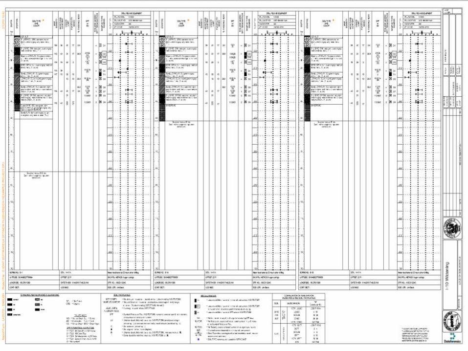
Log Reports


Fence Reports


Other Reports

Graph Reports
LADOTD – Grain Size
LADOTD – Pile Load Test
Lots of standard graph reports Dataforensics
included with no customization for LADOTD
Atterberg Limits
Compaction
Compaction (multiple curves per graph)
Consolidation
Grain Size
Index Props

Text Tables
Test Summary
Project Summary
Key to Symbols
Graphic Text
Docs
Text Docs
Project Summary

Historical Data Archiving
Compile
Data Cleanse
Standardize
Archive

Historical Data Cleaning
Raw CPT data files with latitude and
longitude in various formats
Existing borehole data in gINT with latitude
and longitude in various formats
Overloading data fields (N-Value, Blow
counts, UU Triaxial)
Existing borehole data without coordinates

Historical Data Cleansing
Existing CPT data without coordinates or
with coordinates in another file format
Scanned boreholes without coordinates or
with coordinates in another file format
Incorporating scanned borehole logs into
PLog Enterprise

Historical Data Cleansing
Nonsensical coordinates
Conflicts between coordinates in 03-1GT
project and current project
Projects in English/Metric units
Duplicate data
Duplicate Project IDs
Text data that should be numeric

Historical Data Summary
1645 point locations
Hole Type Number of Holes
Scanned Boreholes 153*
Scanned Boreholes with Estimated Location 35*
Legacy gINT Boreholes 297
CPT Soundings 1080
CPT Soundings with Estimate Location 11
Boreholes in new gINT Format 69

Conclusions A comprehensive geotechnical data
management system was configured for
LADOTD
Utilizes RAPID CPT, PLog Enterprise, gINT,
ArcGIS Server, Flex & ASP.net technology
Data entry, reporting, archiving, & retrieval
is now standardized & automated
Retrieval via map interface in ArcGIS 9.2,
9.3 & 10.0 or web-based ArcServer

Conclusions
Built upon 03-1GT and 06-6GT projects
to create a reference resource
Aid in evaluation of site data
Allow for more accurate and cost effective
design decisions
~$20,000,000 of geotechnical data was
standardized and archived into the
database

Acknowledgements
The financial support for this project was provided by the
Louisiana Department of Transportation and
Development/Louisiana Transportation Research Center
(LTRC) under State Project No. and LTRC Research
Project No. 10-2GT.
We would like to express thanks to all those on the PRC
who provided guidance and assistance on this project
In particular, the guidance and assistance from Ben
Fernandez and Gavin Gautreau were instrumental in the
success of this project.

Thank You.
Related Documents