GI & IT for Mapping Our Environment Nigel Trodd Coventry University

GI & IT for Mapping Our Environment Nigel Trodd Coventry University.
Jan 17, 2016
Welcome message from author
This document is posted to help you gain knowledge. Please leave a comment to let me know what you think about it! Share it to your friends and learn new things together.
Transcript
GI & IT for Mapping Our Environment
Nigel Trodd
Coventry University

In this lecture you will identify
reasons for mapping our environment sources & applications of geospatial data geo-information technologies contemporary mapping issues
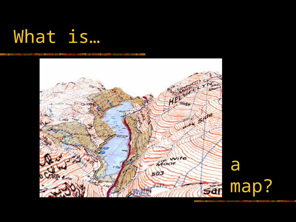
What is…
a map?
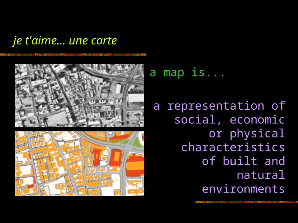
je t'aime... une carte
a map is...
a representation of social, economic or
physical characteristics of built and natural
environments

a map is...
a method of communication
a database a tool for
spatial analysis
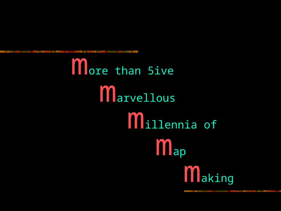
more than 5ive
marvellous
millennia of
map
making

tell me more…
one
two
three
why is spatial special?
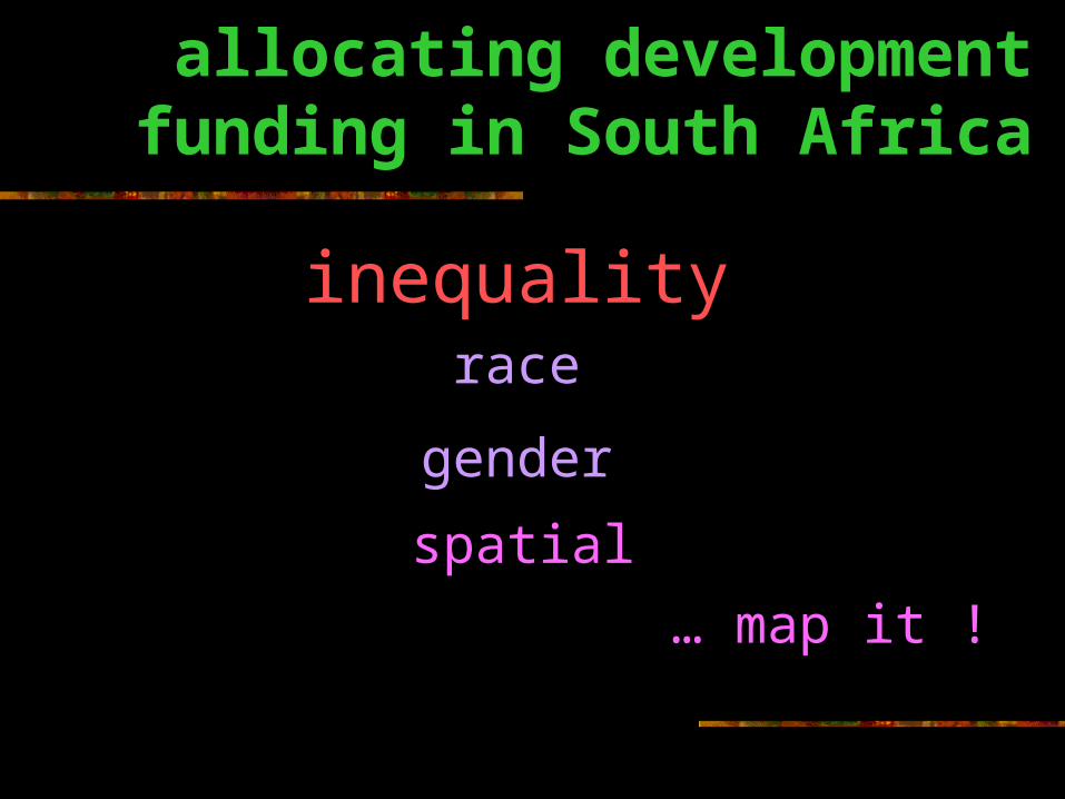
allocating development funding in South Africa
inequalityrace
gender
spatial
… map it !

National Nutrition & Social Development Programme
Allocations in KwaZulu-Natal
Census district Urban / Rural
Actual %
Durban U 9.50
Maphumulo R 5.02
Pietermaritzburg U 4.34
Inanda U 4.22
Vulindlela U 2.76
Lower Tugela R 2.52
Msinga R 2.18
Hlanganani R 0.84
Camperdown R 0.00

So what?What can GI & IT
do?

Census district Urban / Rural
Actual %
Recommended %
Maphumulo R 5.02 8.27
Msinga R 2.18 5.65
Hlanganani R 0.84 3.21
Vulindlela U 2.76 1.80
Durban U 9.50 0.91
Pietermaritzburg U 4.34 0.77
Inanda U 4.22 0.68
Lower Tugela R 2.52 0.40
Camperdown R 0.00 0.20
economic dependency ratio
female illiteracy
... target poor and nutritionally most susceptible communities
Source: MacDevette et al. (1999)
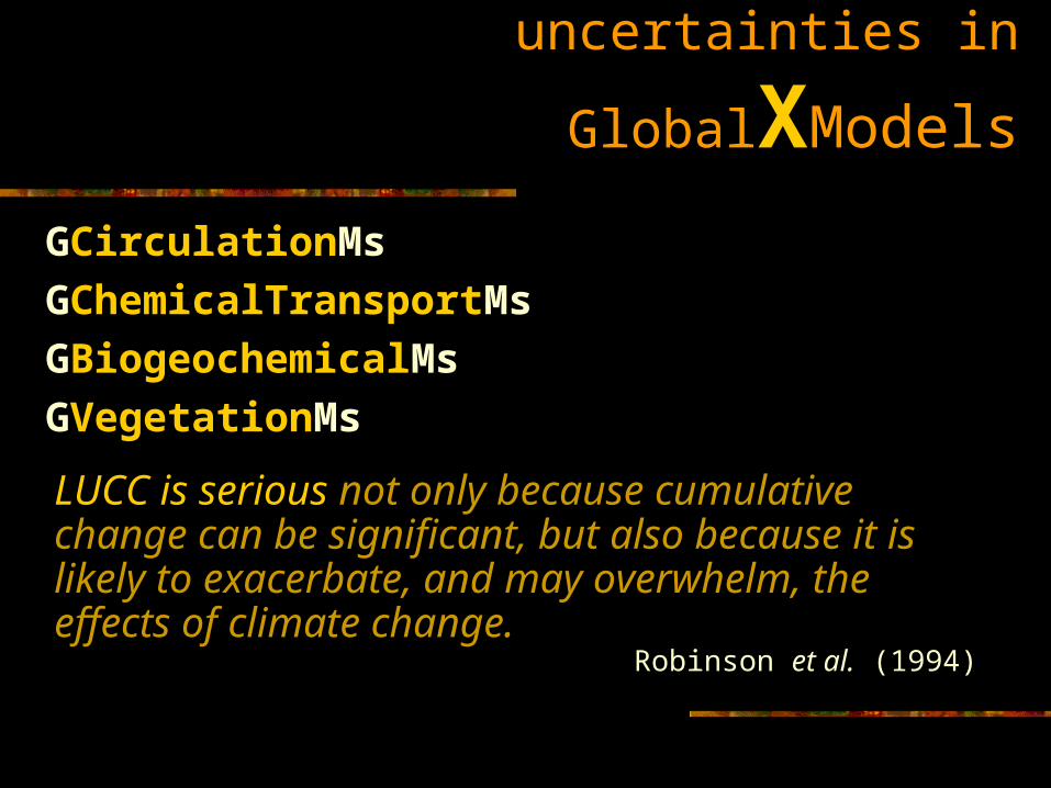
uncertainties in GlobalXModels
GCirculationMs
GChemicalTransportMs
GBiogeochemicalMs
GVegetationMs
LUCC is serious not only because cumulative change can be significant, but also because it is likely to exacerbate, and may overwhelm, the effects of climate change.
Robinson et al. (1994)

Human activity modifies land use / land cover, affecting albedo, water & nutrient cycles, habitats and biodiversity.Impacts are geographically dispersed and progressive.
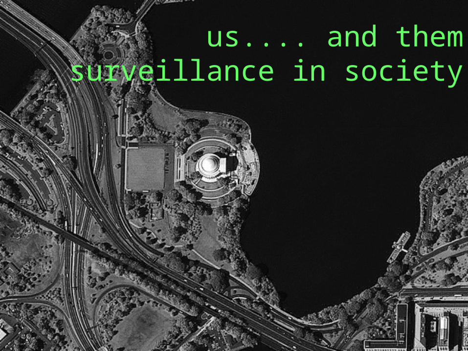
us.... and themsurveillance in society

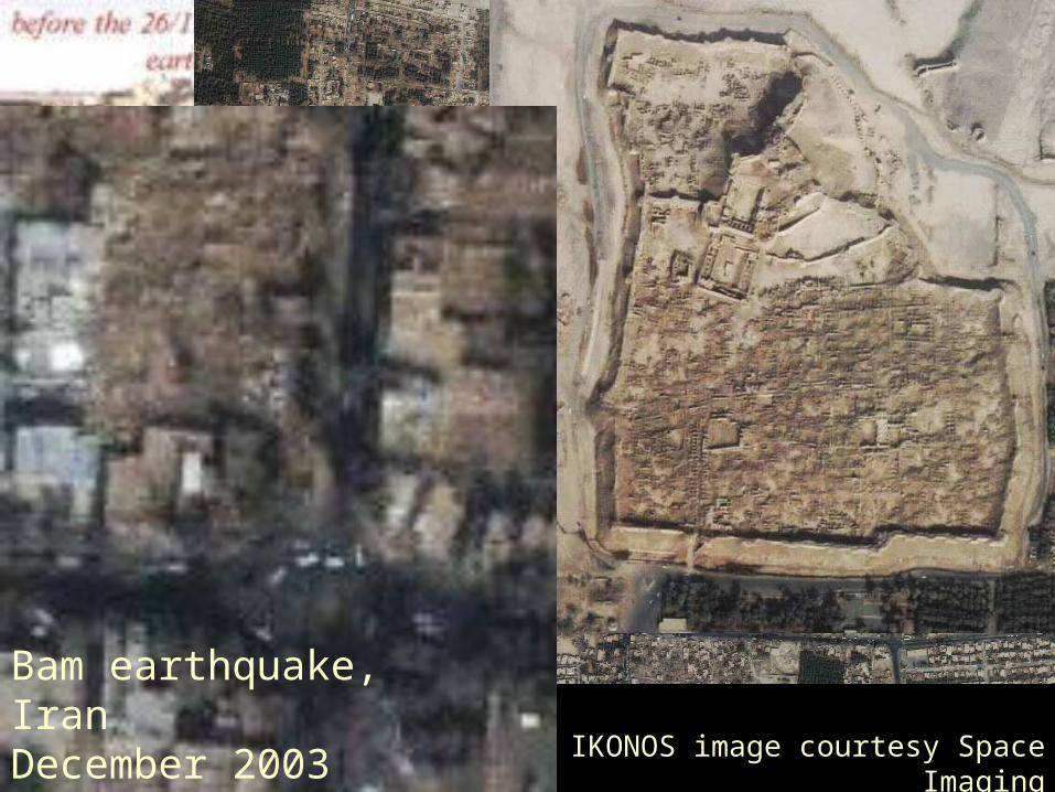
Bam earthquake, IranDecember 2003 IKONOS image courtesy Space
Imaging
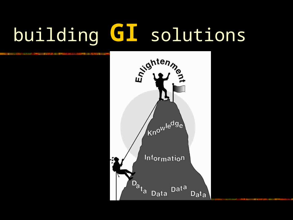
building GI solutions
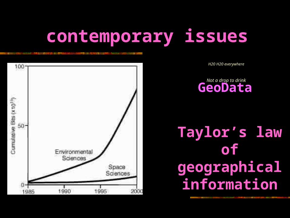
contemporary issuesH20 H20 everywhere
Not a drop to drink
Taylor’s law of
geographical information
GeoDataGeoData

Taylor’s law
the need for geographical information tends to be greatest precisely where least is available
ANDAND
the vastly increased quantities of data do not make them any less imperfect, incomplete and error-prone
Paul Longley (1998)

education, education,
education(T Blair 1997)
location, location, location
(any estate agent anytown anytime)

you need knowledge and skills to understand…
strengths & weaknesses of geodata sources
techniques for spatial data integration and analysis
methods of communicating geoinformation
are you a globe-trotting-super-GI-hero?
Related Documents