Georgia’s geographic regions

Georgia’s geographic regions. What is a region? Region- an area on Earth’s surface that is defined by certain unifying characteristics. It can also be.
Dec 14, 2015
Welcome message from author
This document is posted to help you gain knowledge. Please leave a comment to let me know what you think about it! Share it to your friends and learn new things together.
Transcript
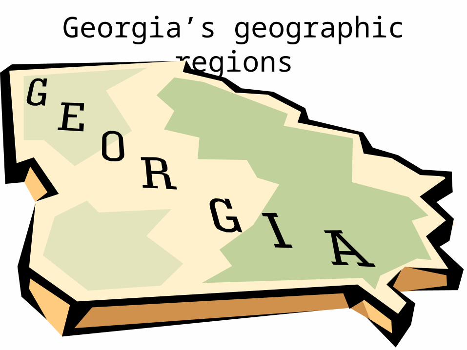
Georgia’s geographic regions

What is a region?• Region- an area on Earth’s surface that is
defined by certain unifying characteristics.• It can also be defined as a government (like the
US), a common Language (like southern dialect), climate, landforms, or the physical topography of an area.

Georgia’s 5 Geographic Regions
• Appalachian Plateau region• Ridge and Valley region• Blue Ridge region• Piedmont Plateau region• Coastal Plain region
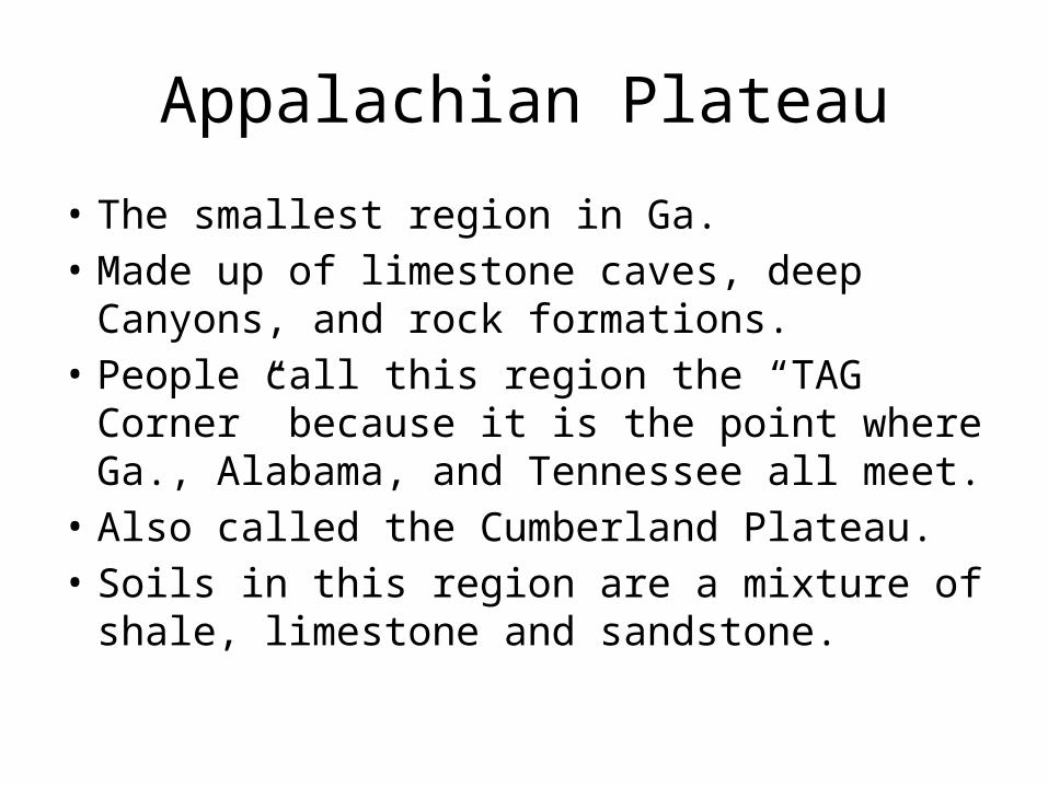
Appalachian Plateau
• The smallest region in Ga.• Made up of limestone caves, deep Canyons, and
rock formations.• People call this region the “TAG Corner”
because it is the point where Ga., Alabama, and Tennessee all meet.
• Also called the Cumberland Plateau.• Soils in this region are a mixture of shale,
limestone and sandstone.

Appalachian Plateau’s land marks and characteristics
• Contains Lookout Mountain and Sand Mountain.
• One of the least traveled regions because of its elevation.
• The battles of Chickamauga and Chattanooga were fought in this region.
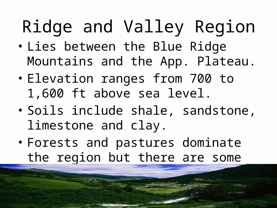
Ridge and Valley Region• Lies between the Blue Ridge Mountains and
the App. Plateau.• Elevation ranges from 700 to 1,600 ft above
sea level.• Soils include shale, sandstone, limestone and
clay.• Forests and pastures dominate the region but
there are some farms and cattle ranches.
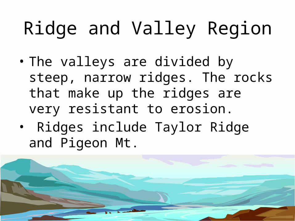
Ridge and Valley Region
• The valleys are divided by steep, narrow ridges. The rocks that make up the ridges are very resistant to erosion.
• Ridges include Taylor Ridge and Pigeon Mt.• This region is known for its industry, especially
its textile and carpet manufacturing.
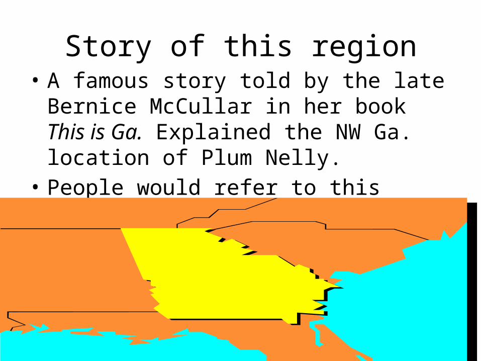
Story of this region• A famous story told by the late Bernice
McCullar in her book This is Ga. Explained the NW Ga. location of Plum Nelly.
• People would refer to this region as “plum out of Tenn. and nelly out of Ga.”

Blue Ridge Region• Located in the NE part of the state and is apart
of the App. Highlands that stretch from New York to Alabama.
• This region is about 100 miles wide and has an area of about 2,000 square miles.
• The highest and largest mountains in Ga. are in this region.

Blue Ridge Region
• The Mts are important because they are the first barrier to warm, moist air rising from the Gulf of Mex. When the warm air meets the Mts it cools and forms precipitation (rain).
• The rain that results provides water for the entire state.
• In this region, rain can exceed 80 inches a year.

Blue Ridge Region land marks and characteristics
• Brasstown Bald, the highest peak in the state. At the top of it you can see SC and Tenn.
• Amicalola Falls, which drops 729 ft.• Tallulah Gorge, which is 1,000 ft. deep.
Story of the Appalachian Mts.
• Ga’s 3 northern regions are apart of the App. Mts.• The Apps. were formed over 900 million years ago
when the continents collided and created one giant continent which also created the first App. Mts.
• Over millions of years, the App. Mts. eroded into what is now the Atlantic ocean.
• 500 million years ago the continents started to move and collide again, eventually forming the Mts. Again. Over time the Mts. have eroded to their height we see today.

The Piedmont Plateau Region
• Begins in the foothills of the Mts. in N Ga. and goes to the central part of the state.
• Made up of gently sloping hills and valleys in the north and flatlands in the south.
• The soil (mostly clay) is well suited for hardwoods, pines, and agriculture.
• Sometimes referred to as the “heartland” of the state.

The Piedmont Plateau Region• Piedmont- means the foot of the mountain.• This area makes up about 1/3 of Ga’s land area.• About 1/2 of the state’s population lives in this region.• Very well known for agriculture, it was the cotton belt
during the Civil War.• Important cities include, Atlanta, Athens, and
Milledgeville.• Rivers include the Chattahoochee, Flint, Ocmulgee,
and Oconee.
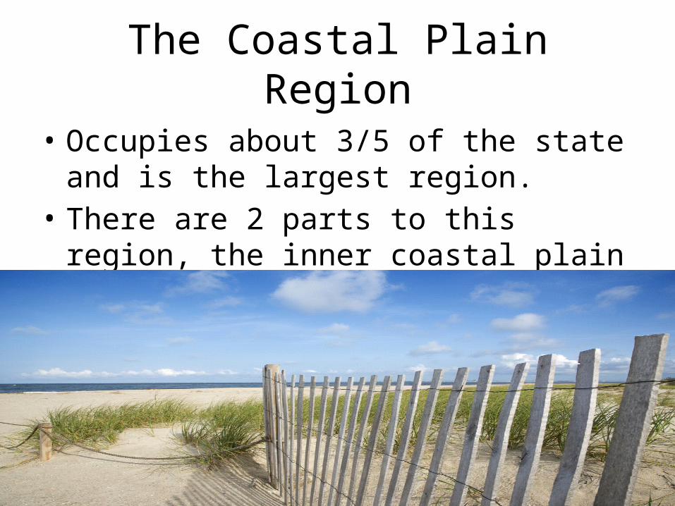
The Coastal Plain Region
• Occupies about 3/5 of the state and is the largest region.
• There are 2 parts to this region, the inner coastal plain and the outer coastal plain.
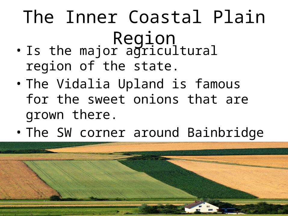
The Inner Coastal Plain Region• Is the major agricultural region of the state.• The Vidalia Upland is famous for the sweet
onions that are grown there.• The SW corner around Bainbridge to Albany is
called the Dougherty Plain, where there is a lot of peanuts, corn, and pecan trees.
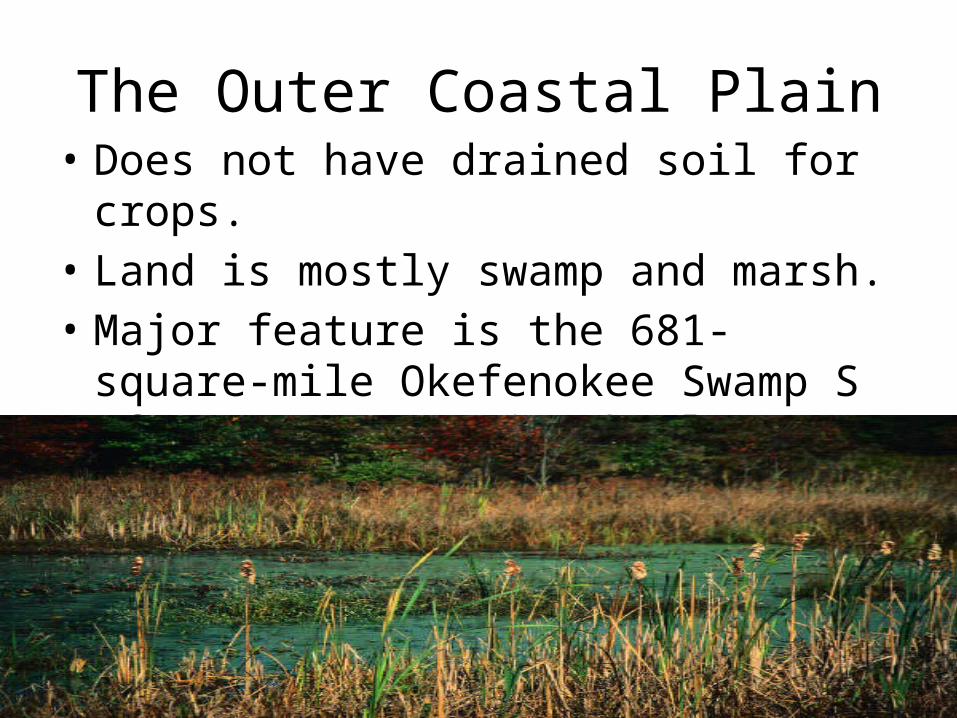
The Outer Coastal Plain• Does not have drained soil for crops.• Land is mostly swamp and marsh.• Major feature is the 681-square-mile
Okefenokee Swamp S of Waycross. It is the largest swamp in North America.
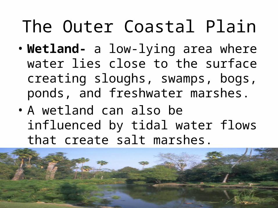
The Outer Coastal Plain• Wetland- a low-lying area where water lies
close to the surface creating sloughs, swamps, bogs, ponds, and freshwater marshes.
• A wetland can also be influenced by tidal water flows that create salt marshes.
• Ga. ranks 4th in the nation in the # of acres of wetlands.

The Outer Coastal Plain
• The Spanish Explorers called the 100 mile coast of Ga. the “Islands of Gold.”
• Barrier Islands- called this because they protect the beaches by blocking the wind, sands, and water that could erode the mainland.
• Jekyll Island is primarily a state park and Cumberland Island is a national seashore.
• 2/3 of the islands are classified as wilderness sanctuaries.

The Coastal Plain Region• The Coastal Plain Region is separated from the
Piedmont Plateau Region by a natural boundary known as the Fall Line.
• Fall Line- the point at which hilly or mountainous lands meet the coastal plain.
Related Documents