Geography and Public Health: Using Technology to Strengthen Programs ANDREW INGLIS: USAID | DELIVER PROJECT OCTOBER 8, 2010

Geography and Public Health: Using Technology to Strengthen Programs ANDREW INGLIS: USAID | DELIVER PROJECTOCTOBER 8, 2010.
Dec 22, 2015
Welcome message from author
This document is posted to help you gain knowledge. Please leave a comment to let me know what you think about it! Share it to your friends and learn new things together.
Transcript
Geography and Public Health:
Using Technology to Strengthen Programs
ANDREW INGLIS: USAID | DELIVER PROJECT OCTOBER 8, 2010

TechnologyPublicHealth
Geography
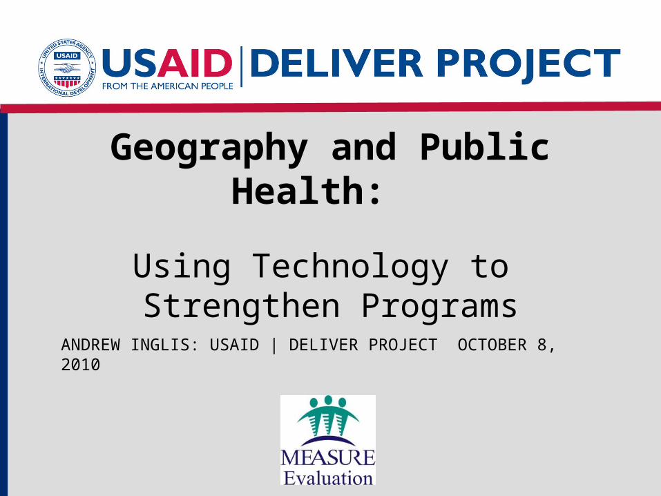
Role of Geography in Public Health
• John Snow’s map of Broad Street pump:– map did NOT identify
the pump as the cause– map was used to
demonstrate and explain the relationship between the pump and cholera outbreak

Role of Geography in Strategic Thinking
• Use to inform decision makers:– visually– point of discussion– explaining plans
• Military • Transport• Urban
Photo: A.Inglis 2005

Pre- and Post-GIS• Pre-GIS
– Mapping was generally limited issues directly related space;
• Land tenure, navigation, military, transport, etc…
– Expensive, time consuming and activity specific maps
• Post-GIS– Mapping applications was expanded and made
accessible• Health, shopping, population, recreation….
– Linking data to a geographic location

GIS Software• Proprietary software
• Open source GIS
GRASS GIS

Google Earth
• Great idea with real applications
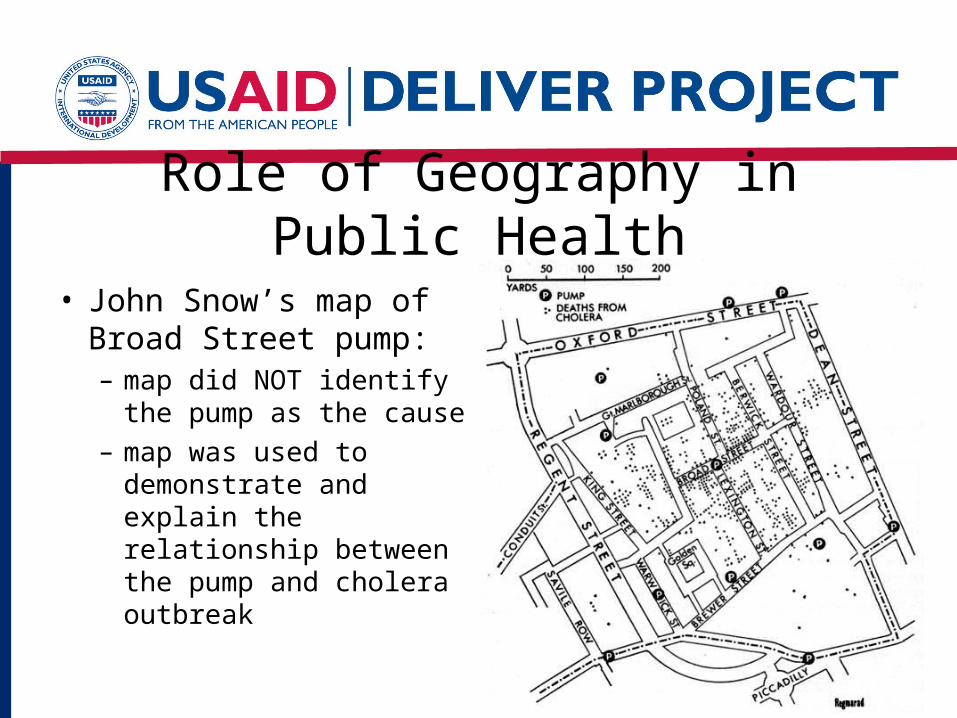
Interactive Session
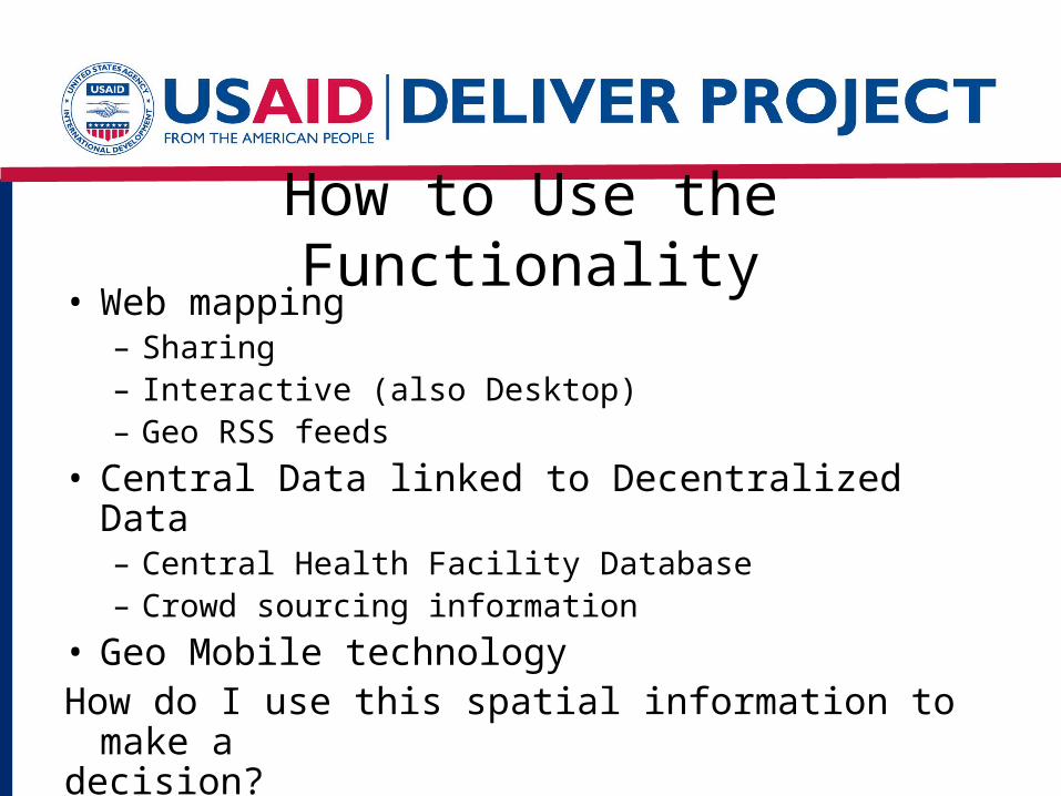
How to Use the Functionality• Web mapping
– Sharing– Interactive (also Desktop)– Geo RSS feeds
• Central Data linked to Decentralized Data– Central Health Facility Database– Crowd sourcing information
• Geo Mobile technologyHow do I use this spatial information to make adecision?

What Can We Learn from Past Use of Mapping in Public Health?
• Explain/demonstrate patterns
• Identify gaps
• Generate points of discussion
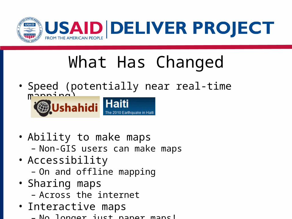
What Has Changed• Speed (potentially near real-time mapping)
• Ability to make maps– Non-GIS users can make maps
• Accessibility– On and offline mapping
• Sharing maps– Across the internet
• Interactive maps– No longer just paper maps!
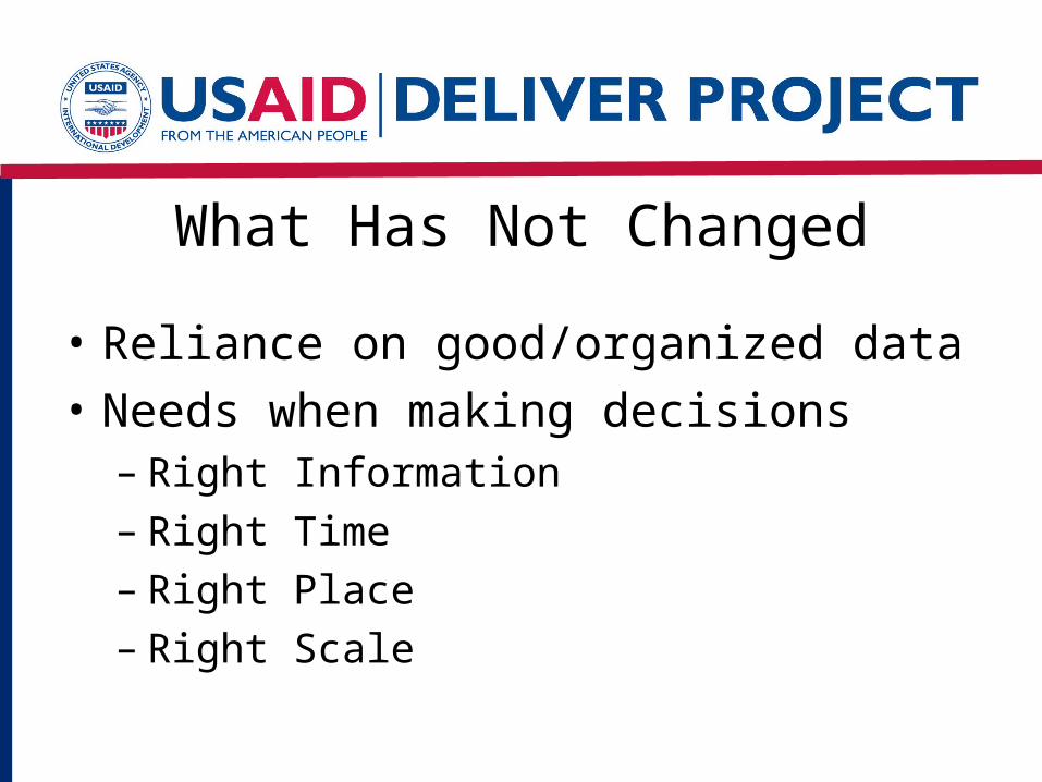
What Has Not Changed
• Reliance on good/organized data
• Needs when making decisions– Right Information– Right Time– Right Place– Right Scale
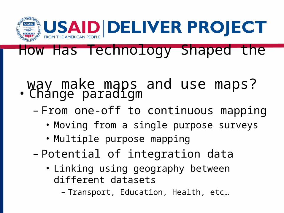
How Has Technology Shaped the way make maps and use maps?
• Change paradigm– From one-off to continuous mapping
• Moving from a single purpose surveys• Multiple purpose mapping
– Potential of integration data• Linking using geography between different
datasets– Transport, Education, Health, etc…

Example: Rwanda
• Supply Chain
• Census
• MEASURE DHS
Interactive Session
Related Documents