Geog 458: Map Sources and Errors Contextualizing Geospatial Data January 6, 2006

Geog 458: Map Sources and Errors Contextualizing Geospatial Data January 6, 2006.
Dec 14, 2015
Welcome message from author
This document is posted to help you gain knowledge. Please leave a comment to let me know what you think about it! Share it to your friends and learn new things together.
Transcript
Geog 458:Map Sources and Errors
Contextualizing Geospatial Data
January 6, 2006
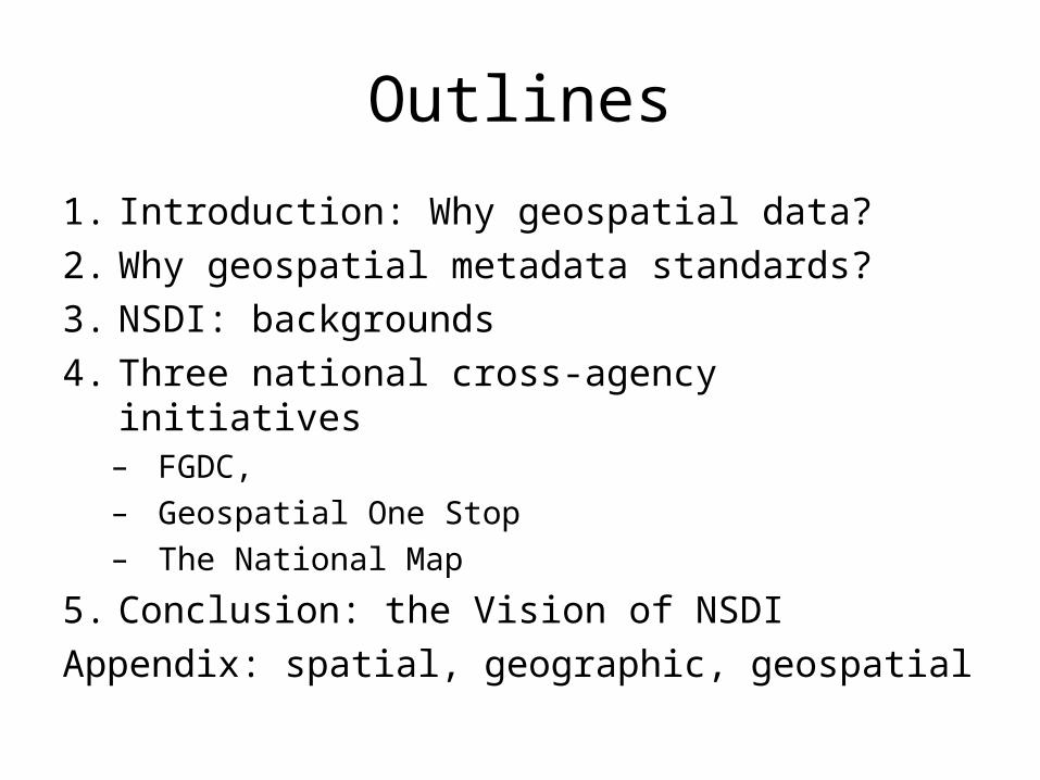
Outlines
1. Introduction: Why geospatial data?
2. Why geospatial metadata standards?
3. NSDI: backgrounds
4. Three national cross-agency initiatives– FGDC, – Geospatial One Stop– The National Map
5. Conclusion: the Vision of NSDI
Appendix: spatial, geographic, geospatial

1. Geospatial data
• Think where geospatial data is used
• Overriding concerns of today?
Disaster recoveryClimate changeEnvironmental
protection
Emergency Management
Growth management Homeland security
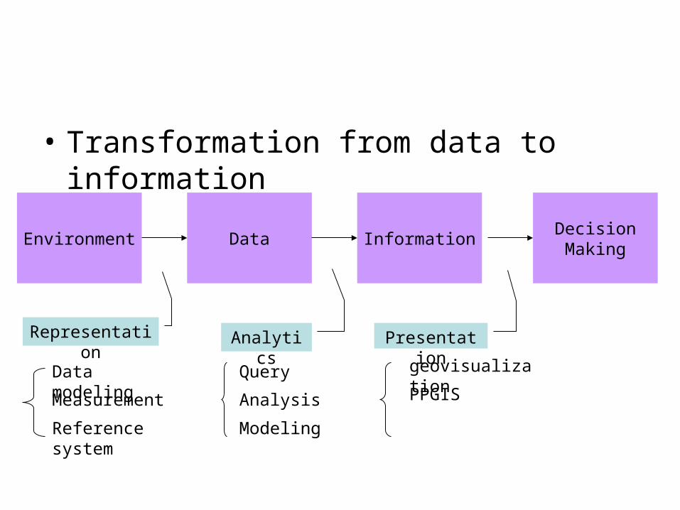
• Transformation from data to information
DecisionMaking
InformationDataEnvironment
Representation Analytics Presentation
Data modeling
Measurement
Reference system
Query
Analysis
Modeling
geovisualization
PPGIS
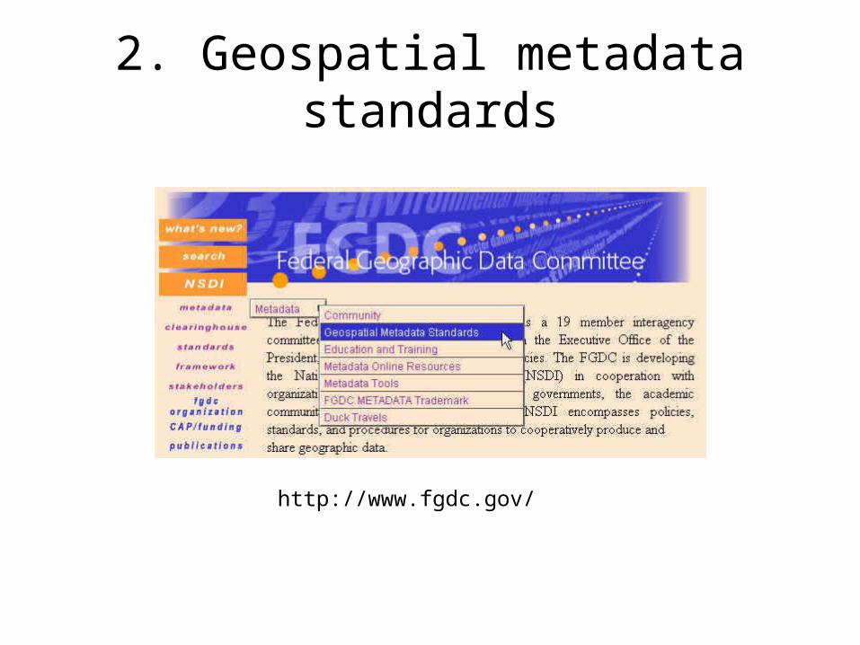
2. Geospatial metadata standards
http://www.fgdc.gov/
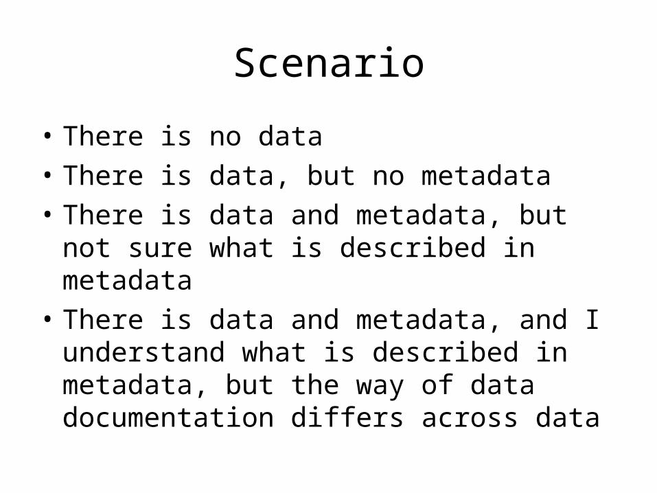
Scenario
• There is no data
• There is data, but no metadata
• There is data and metadata, but not sure what is described in metadata
• There is data and metadata, and I understand what is described in metadata, but the way of data documentation differs across data

• Finally, you have data and metadata and content standard, so you can decide whether data is suitable for a problem
• This is what CSDGM does!
• CSDGM (Content Standard for Digital Geospatial Metadata) includes seven contents as follows
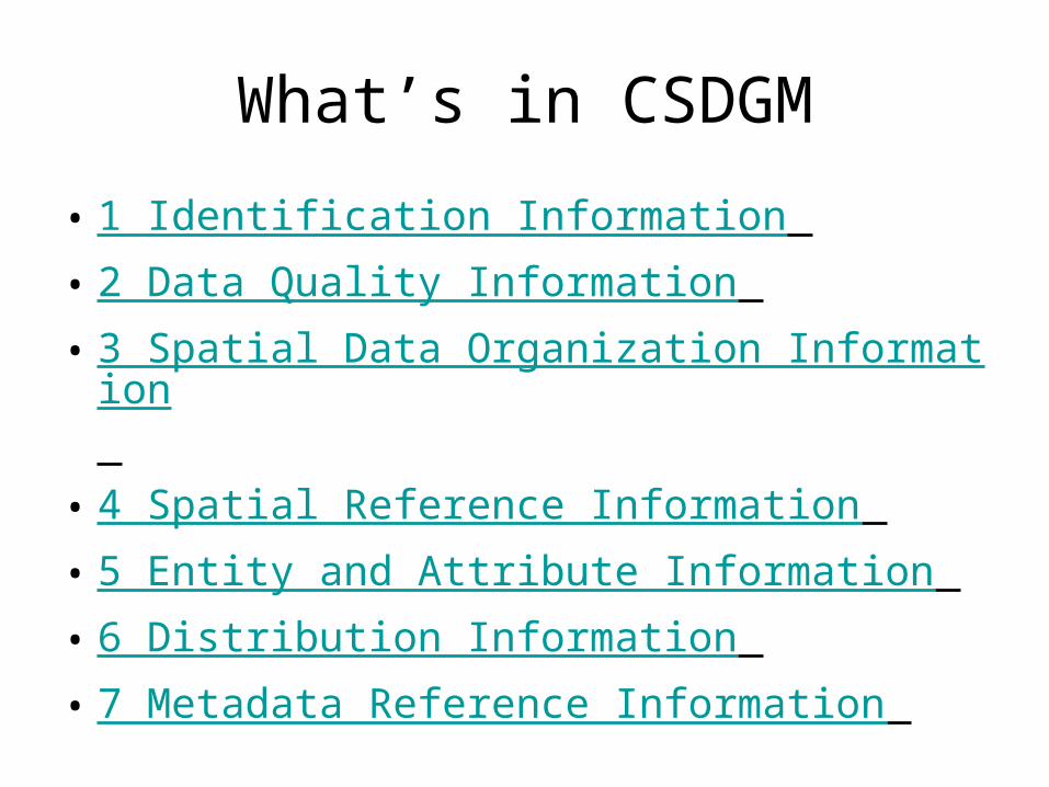
What’s in CSDGM
• 1 Identification Information
• 2 Data Quality Information
• 3 Spatial Data Organization Information
• 4 Spatial Reference Information
• 5 Entity and Attribute Information
• 6 Distribution Information
• 7 Metadata Reference Information
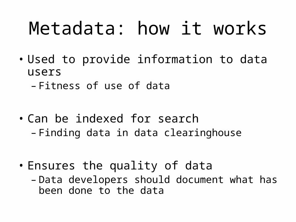
Metadata: how it works
• Used to provide information to data users– Fitness of use of data
• Can be indexed for search– Finding data in data clearinghouse
• Ensures the quality of data– Data developers should document what has
been done to the data
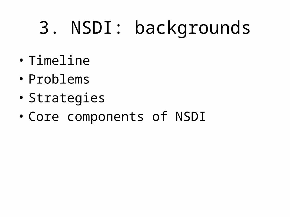
3. NSDI: backgrounds
• Timeline
• Problems
• Strategies
• Core components of NSDI

Timeline of NSDI
• 1989-90 FGDC formed
• 1994 NSDI formed by Presidential Executive Order 12906
• 2001 OMB Circular A-16 updated
• 2002 E-Gov Initiatives (Geospatial One-Stop)
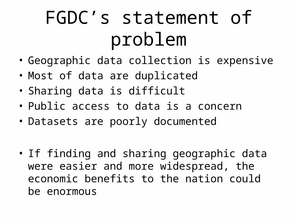
FGDC’s statement of problem
• Geographic data collection is expensive• Most of data are duplicated• Sharing data is difficult• Public access to data is a concern• Datasets are poorly documented
• If finding and sharing geographic data were easier and more widespread, the economic benefits to the nation could be enormous
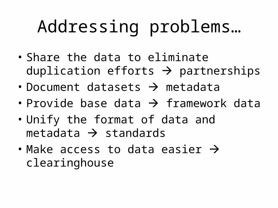
Addressing problems…
• Share the data to eliminate duplication efforts partnerships
• Document datasets metadata
• Provide base data framework data
• Unify the format of data and metadata standards
• Make access to data easier clearinghouse

Partnerships
MetadataMetadata
GEOdataGEOdata
Clearinghouse (catalog)Clearinghouse (catalog)
FrameworkFramework
StandardsStandards
Core components of NSDI

Do-it-yourself now!
• Browse fgdc.gov to answer the following questions– According to FGDC-STD-001-1998 (CSDGM), which
contents are mandatory?– What are seven NSDI framework themes?– How does clearinghouse work? For example, does
the search result let you download data? What kinds of data are usually available? More specifically, are they mainly public data or private data?
– How is the clearinghouse different from GOS (Geospatial One-Stop)?
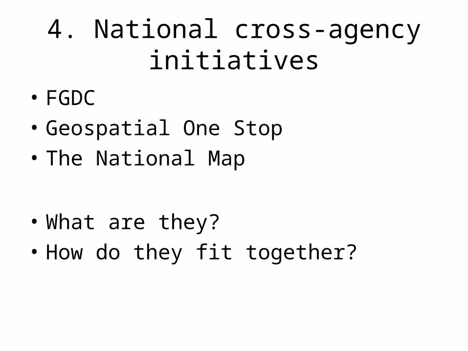
4. National cross-agency initiatives
• FGDC
• Geospatial One Stop
• The National Map
• What are they?
• How do they fit together?

FGDC
• Inter-agency committee responsible for the implementation of the NSDI
Fgdc.gov
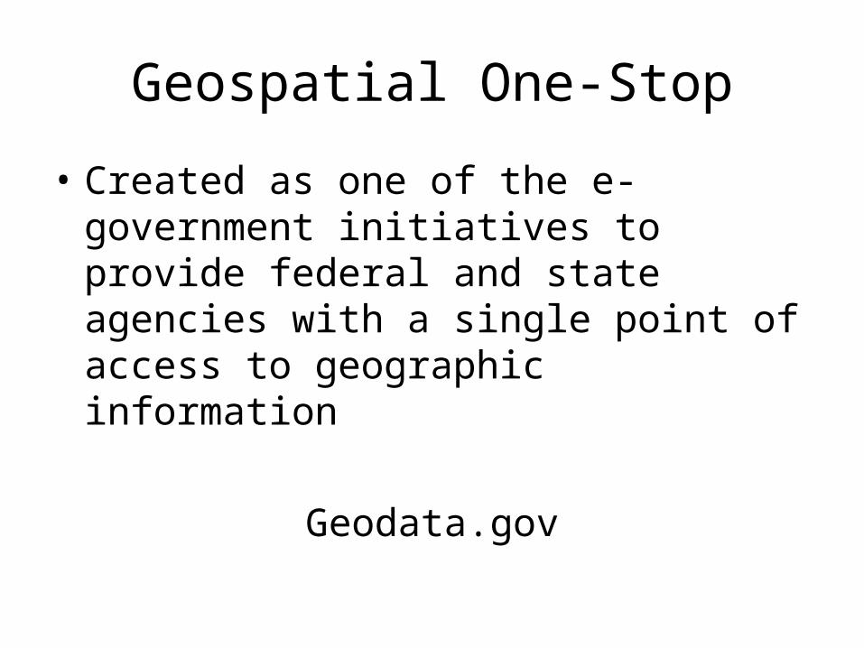
Geospatial One-Stop
• Created as one of the e-government initiatives to provide federal and state agencies with a single point of access to geographic information
Geodata.gov
The National Map
• The vision of creating up-to-date base topographic data by USGS with partnerships
Nationalmap.gov
Do you know how old USGS topographic data (e.g. National Atlas of the United States) are on average?
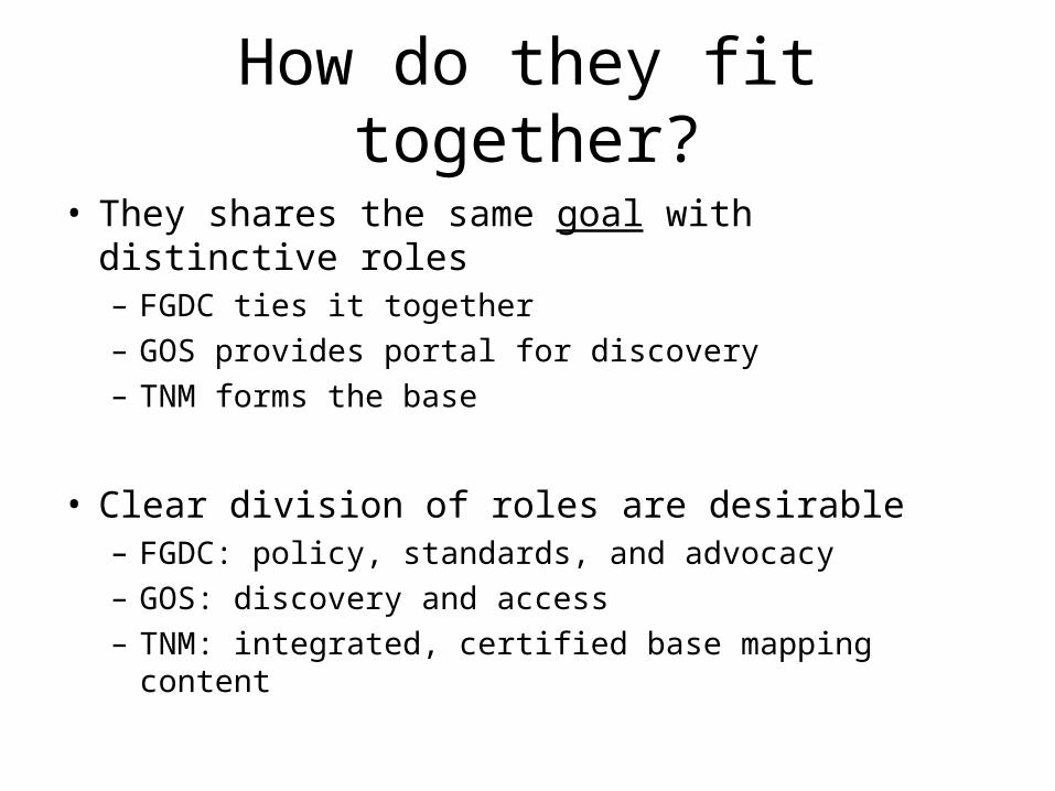
How do they fit together?
• They shares the same goal with distinctive roles– FGDC ties it together– GOS provides portal for discovery– TNM forms the base
• Clear division of roles are desirable– FGDC: policy, standards, and advocacy– GOS: discovery and access– TNM: integrated, certified base mapping content
5. The Vision of NSDI
• What is NSDI?
• What are tenets of NSDI?
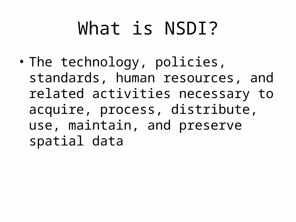
What is NSDI?
• The technology, policies, standards, human resources, and related activities necessary to acquire, process, distribute, use, maintain, and preserve spatial data
Tenets of NSDI
• Assures that spatial data from multiple sources (federal, state, local, and tribal governments, academia, and the private sector) are available and easily integrated to enhance the understanding of our physical and cultural world

Spatial, geographic, geospatial
• Geospatial has been used since mid-1990s especially among government agency to describe data activities– e.g. National Geospatial-Intelligence Agency
(Formerly National Imagery and Mapping Agency: NIMA)
• Geospatial has more of technology and data concepts compared to spatial or geographic – e.g. geospatial science =/= geoscience
Related Documents