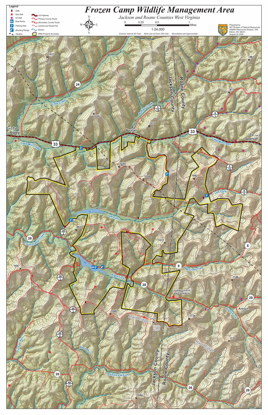
Li ttl e Mi l l Cr e e k Lit tle M il l C ree k Fr o z e n c a m p C re ek Lef t Fo rk Ri g ht Fo r k Le f t F o rk Rig h t F o r k M c C ra dy F o rk L eft Fo rk E lk F o r k W a s h R u n F or k e d R u n B uff a lo C ree k L i t t l e C re e k 1000 800 800 800 800 800 800 800 1000 800 1000 1000 1000 800 1000 800 800 1000 1000 1000 1000 1000 1000 1000 800 1000 800 800 800 1094 1097 1086 1127 1153 1138 1071 1146 1054 902 1026 1059 724 690 1082 1037 1010 971 983 To Ripley To Spencer Marshall Hart Ridge Antioch Tuttle Knob Hart Ridge Jackson County Roane County Roane County Jackson County 33 33 24 5 19 28 2 28 28 28 8 8 8 10 8 5 5 1 28 3 26 2 26 8 26 26 26 40 11 Louther Church and Cemetery Frozen Camp Wildlife Management Area Jackson and Roane Counties West Virginia 0 0.5 1 0.25 Miles 1:24,000 Prepared by WV Division of Natural Resources, Wildlife Resources Section, GIS Elkins, WV 26241 August 25 2006 Contour Interval 40 Feet Bold Line at Even 200 Feet Boundaries are Approximate Legend Gate Gas Well Oil Well Boat Ramp Parking Area Shooting Range Unimproved Road/Trail US Highway Primary County Route Secondary County Route Stream WMA Property Boundary Pipeline

Welcome message from author
This document is posted to help you gain knowledge. Please leave a comment to let me know what you think about it! Share it to your friends and learn new things together.
Transcript
Little Mill Creek
Little Mill Creek
Fro ze ncamp Cree
k
Left Fork
Right Fork
Left Fork
Right Fork
McCrady Fork
Left Fork Elk Fork
Wash RunForke
d Run
Buffalo CreekLitt le Creek
1000
800
800800
800
800
800
800
1000
800
1000
1000
1000
800
1000
800
800
1000
1000
1000
1000
1000
1000
1000
800
1000
800
800800
1094
1097
1086
1127
1153
1138
1071
1146
1054
902
1026
1059
724
690
1082
1037
1010
971
983
ToRipley To
Spencer
Marshall
Hart Ridge
Antioch
TuttleKnob
Hart Ridge
Jack
son C
ounty
Roan
e Cou
nty
Roane County
Jackson County
33
33
24
519
282
28
28
28
8
8
810
85
51
283
262
268
26
26 264011
Louther Churchand Cemetery
Frozen Camp Wildlife Management AreaJackson and Roane Counties West Virginia
0 0.5 10.25 Miles1:24,000
Prepared byWV Division of Natural Resources,Wildlife Resources Section, GISElkins, WV 26241August 25 2006Contour Interval 40 Feet Bold Line at Even 200 Feet Boundaries are Approximate
LegendGateGas WellOil WellBoat RampParking AreaShooting Range
Unimproved Road/Trail
US HighwayPrimary County RouteSecondary County Route
StreamWMA Property BoundaryPipeline
Related Documents