Esriuk_track6_developing with the arc_gis platform
Aug 12, 2015
Welcome message from author
This document is posted to help you gain knowledge. Please leave a comment to let me know what you think about it! Share it to your friends and learn new things together.
Transcript

Richard Mumford | Mark Wells | Shelly Gill
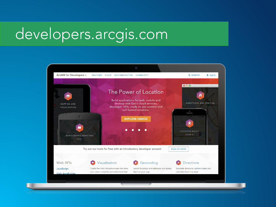
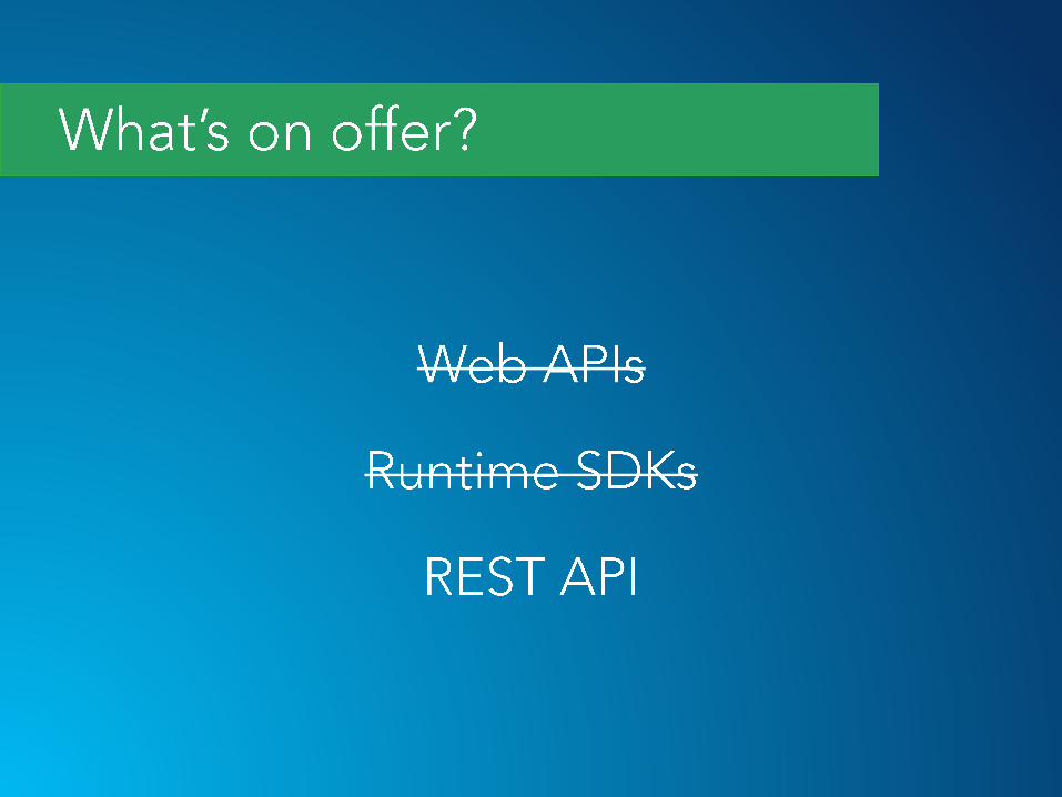
• Guides
• Documentation
• Access to SDKs
• Samples
• Developer accounts
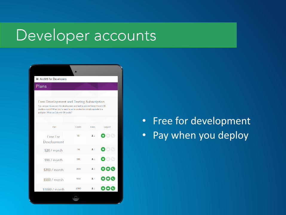
• Free for development
• Pay when you deploy
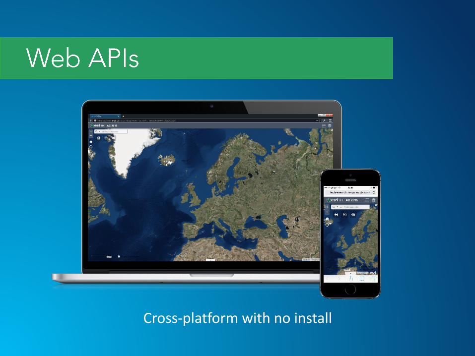
Cross-platform with no install
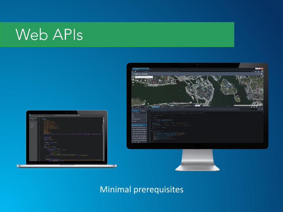
Minimal prerequisites
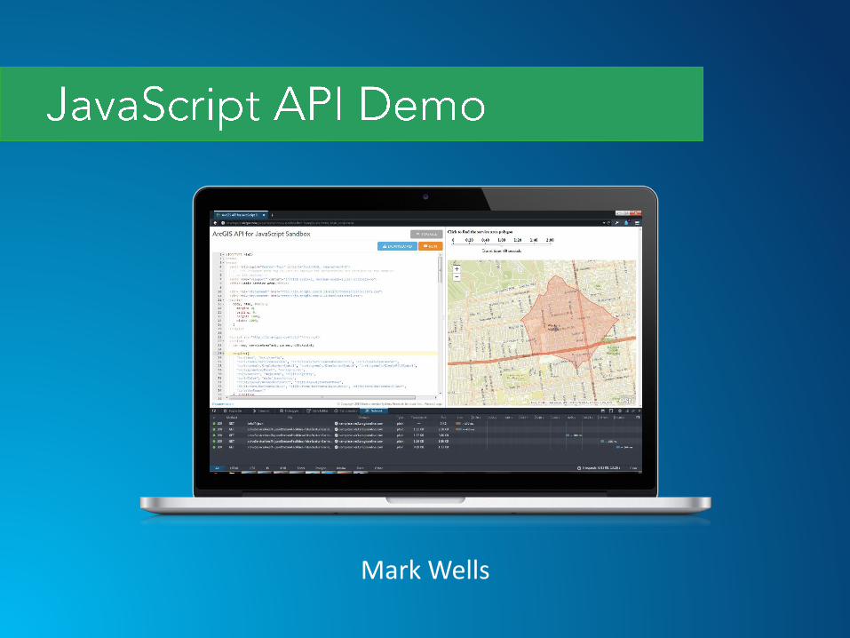
Mark Wells

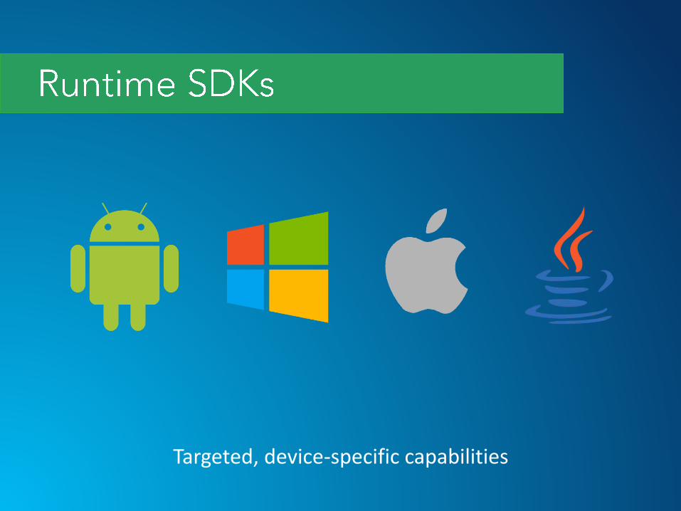
Targeted, device-specific capabilities
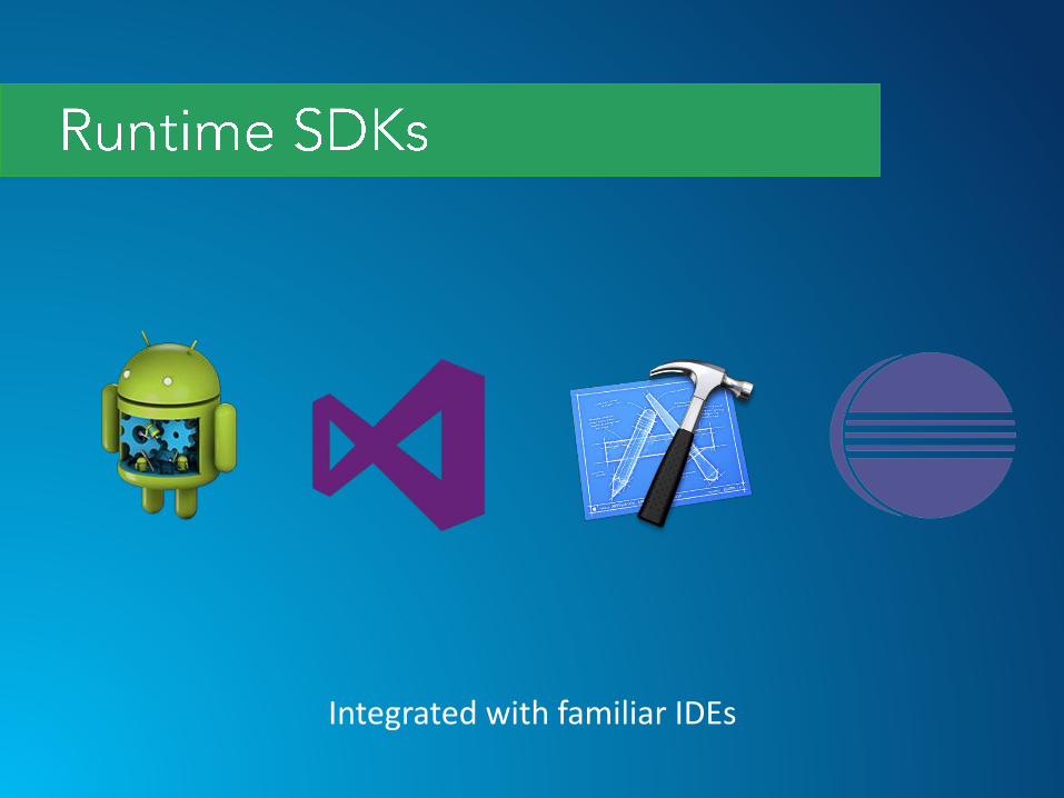
Integrated with familiar IDEs
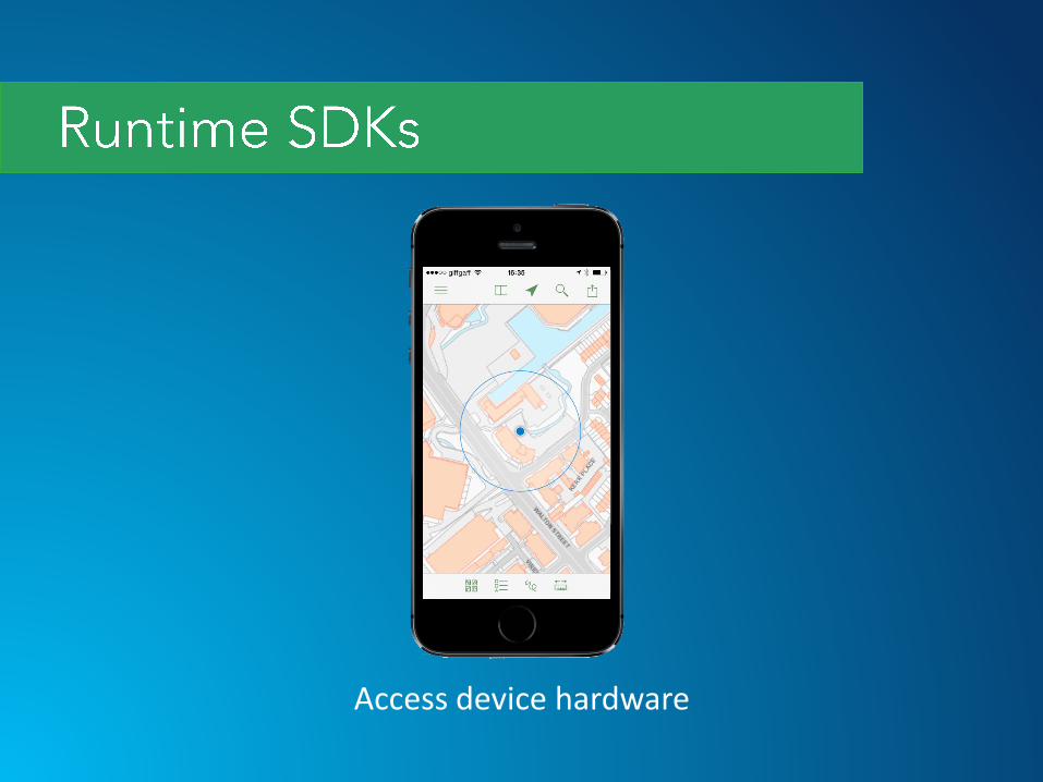
Access device hardware
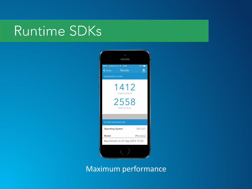
Maximum performance
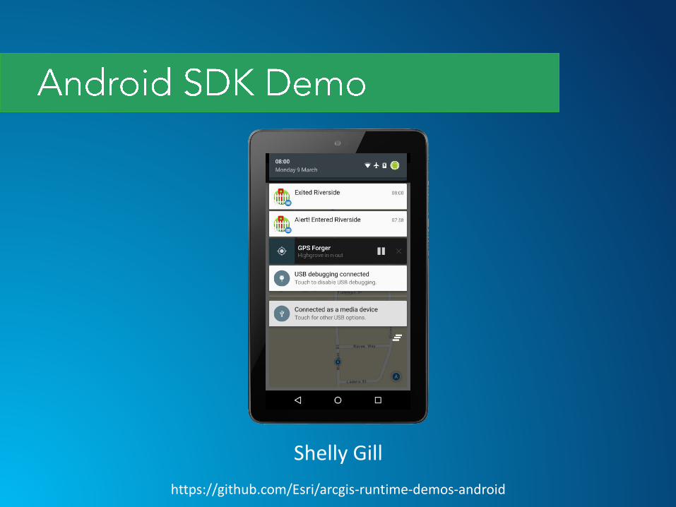
Shelly Gill
https://github.com/Esri/arcgis-runtime-demos-android
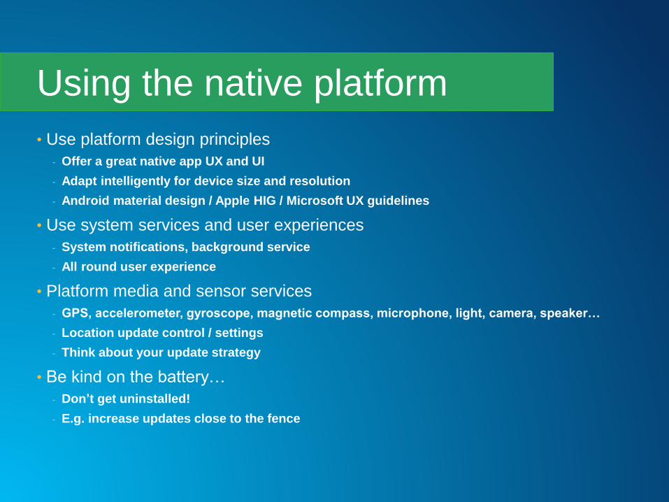
• Use platform design principles
- Offer a great native app UX and UI
- Adapt intelligently for device size and resolution
- Android material design / Apple HIG / Microsoft UX guidelines
• Use system services and user experiences
- System notifications, background service
- All round user experience
• Platform media and sensor services
- GPS, accelerometer, gyroscope, magnetic compass, microphone, light, camera, speaker…
- Location update control / settings
- Think about your update strategy
• Be kind on the battery…
- Don’t get uninstalled!
- E.g. increase updates close to the fence
Using the native platform
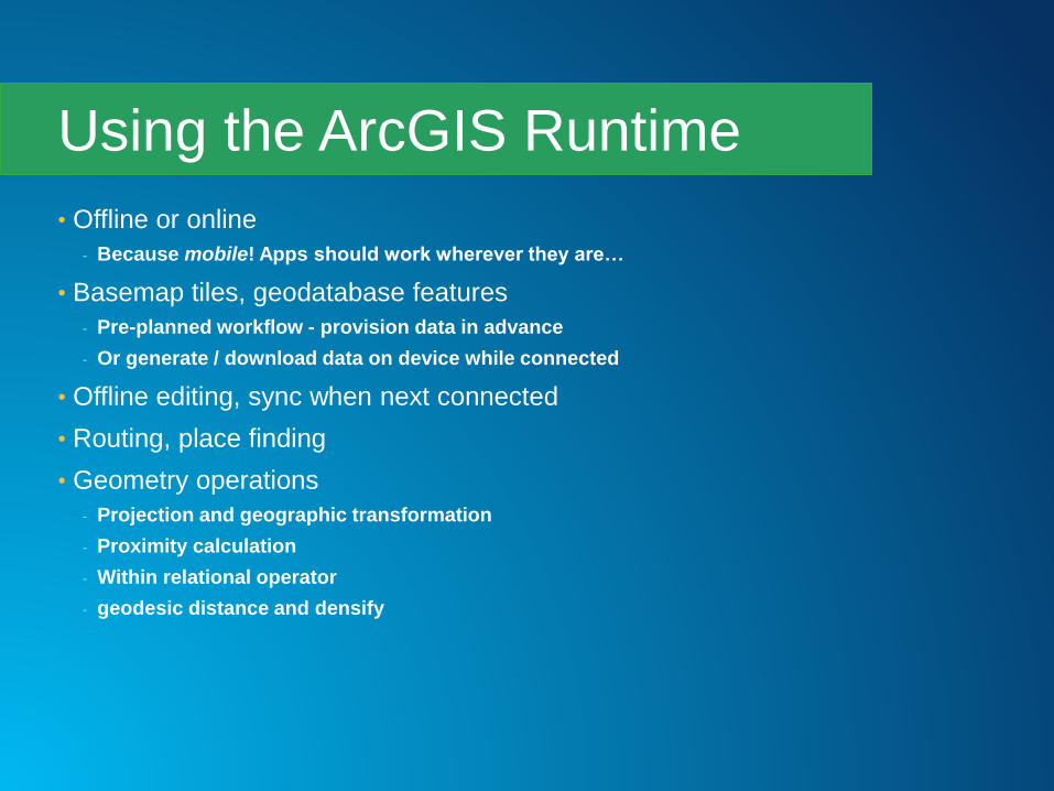
• Offline or online
- Because mobile! Apps should work wherever they are…
• Basemap tiles, geodatabase features
- Pre-planned workflow - provision data in advance
- Or generate / download data on device while connected
• Offline editing, sync when next connected
• Routing, place finding
• Geometry operations
- Projection and geographic transformation
- Proximity calculation
- Within relational operator
- geodesic distance and densify
Using the ArcGIS Runtime
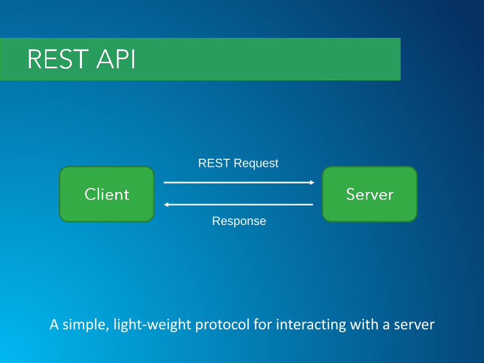
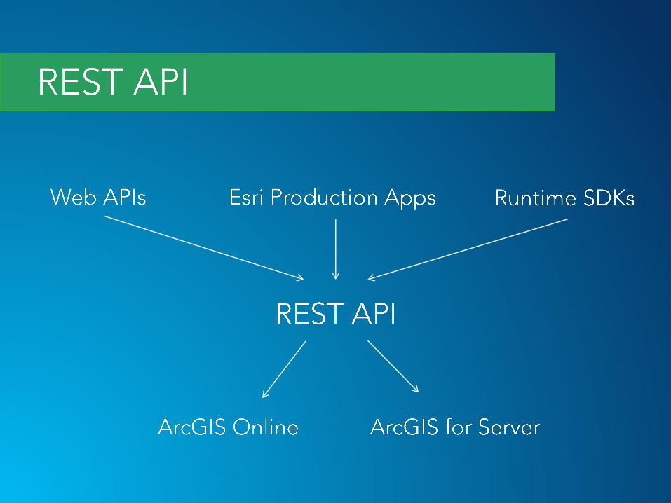
A simple, light-weight protocol for interacting with a server
REST Request
Response
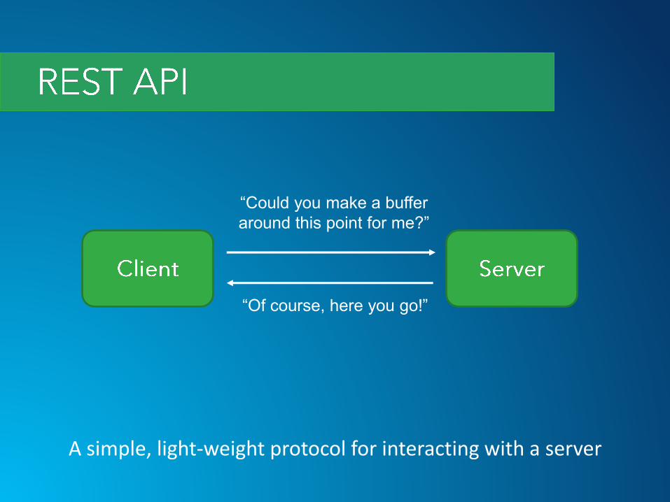
A simple, light-weight protocol for interacting with a server
“Could you make a buffer
around this point for me?”
“Of course, here you go!”
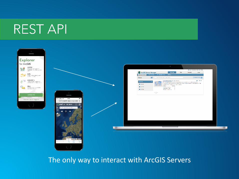
The only way to interact with ArcGIS Servers
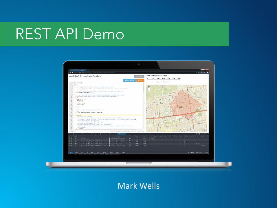
Mark Wells

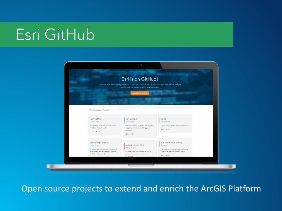
Open source projects to extend and enrich the ArcGIS Platform
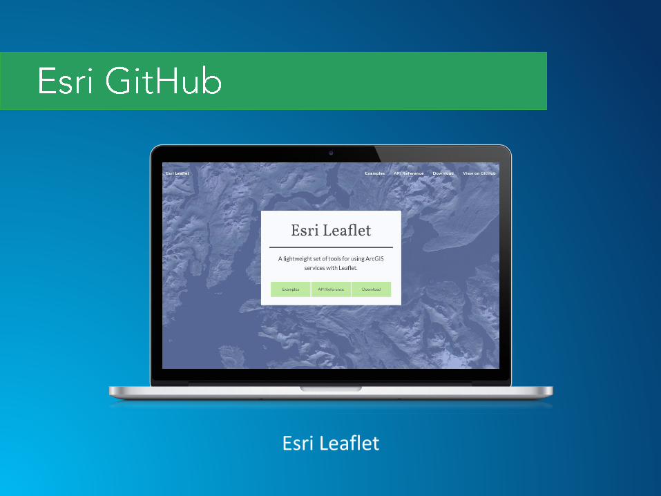
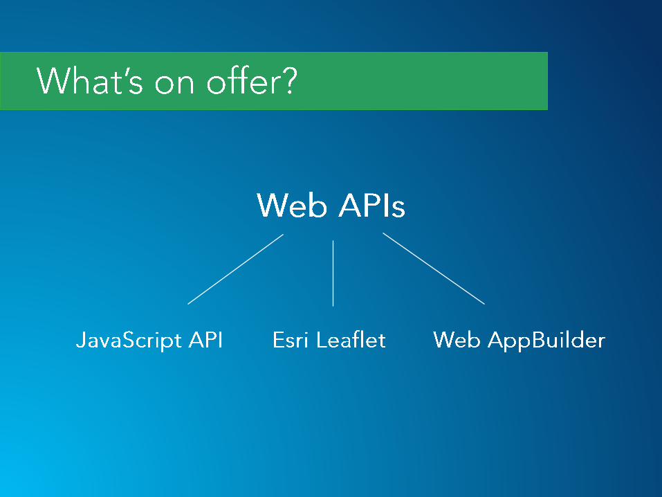
Esri Leaflet

GIS Tools for Hadoop
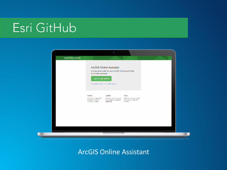
ArcGIS Online Assistant
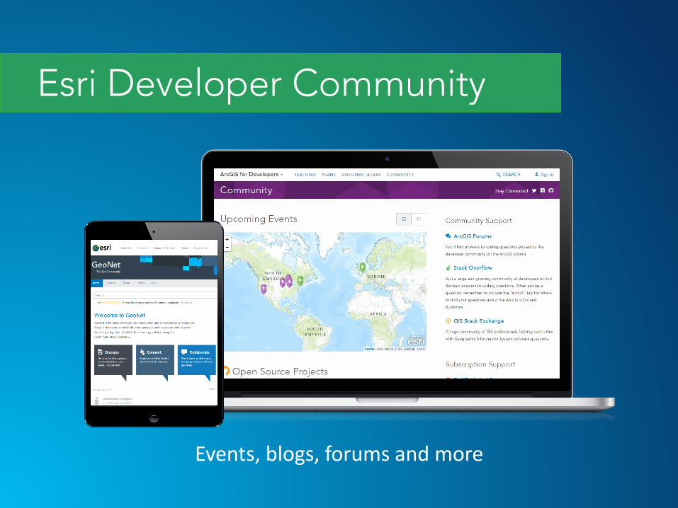
Events, blogs, forums and more

Esri UK GeoDev Meetups


Related Documents