Initial content Process view Data flow Tools Users/Audience/ Public Project start Choose mission type Post disaster (tsunami, oil spill, ...) Sudden Post Conflict (Lebanon, gaza) Long term post conflict (Sudan, Rwanda, …) Notify field coordinator Reconnaissance Acquire satellite images (very quickly after an event in case of Acquire socio- economic geoinformation (industries, populated places, sanitation network, …). Analysis and map production Identify sites (ROI) Populate site database Briefing with field coordinator Identify appropriate tools/equipment Identify skill/knowledge Field intelligence data - to determine - Reconnaissance data - to identify - Site data templates - complete – Preliminary site data (including satellite maps) - acquire - Reference data (lookup tables etc)/manuals - ship to Geneva - Collated datasets from field (mostly metadata) - receive from labs - Laboratory analysis results Internet Internet in the field National intelligence reports (what do you mean ?) Media Vehicle tracking tool Personal tracking tool Satellite processing s/w Spatial analysis + cartographic s/w (GIS) Printer (to print maps Site inspection form Laptop/portable device with: Satellite map backdrop Realtime GPS to auto- locate map Assessment form by field of expertise (water/soil/air/public health/biodiversity…) Sample forms Databases Data backup s/w (backup to XML files) Export and synchronisation functions Open Office (why not?) GPS camera + other Unep pcdmb staff Unep from others branches External consultants National Counterpart UN agencies Public ITERATE - collect - Field data - collate - Field data - analyse and present - archive - ship Bag up sample s and ship

Devis
Mar 24, 2016
ITERATE - collect - Field data - collate - Field data - analyse and present - archive - ship Post-mission briefing Return equipment Agree data download and consolidation process and dates/times Agree verification protocol (check uploaded data) Upload data Publish data to team Data storage in a user friendly way (ie, easy to find sample sites 5 years after a project was closed, or to retrieve photos taken 3 years after a fire, ...).
Welcome message from author
This document is posted to help you gain knowledge. Please leave a comment to let me know what you think about it! Share it to your friends and learn new things together.
Transcript

Initial contentProcess view Data flow Tools Users/Audience/PublicProject startChoose mission typePost disaster (tsunami, oil spill, ...)Sudden Post Conflict (Lebanon, gaza)Long term post conflict (Sudan,
Rwanda, …)Notify field coordinatorReconnaissance
Acquire satellite images (very quickly after an event in case of
Acquire socio-economic geoinformation (industries, populated places, sanitation network, …). Analysis and map production
Identify sites (ROI)Populate site database
Briefing with field coordinatorIdentify appropriate tools/equipmentIdentify skill/knowledge gapsArrange trainingAgree on mission support protocol
Conduct missionNavigate in the fieldSecurity in the fieldTake samples in the fieldTake photos in the fieldMake observations in the
fieldReceive information in the field from
the operation room or other source (updated map/satellite imagery/gps
Field intelligence data- to determine -Reconnaissance data- to identify -Site data templates- complete –Preliminary site data (including
satellite maps)- acquire -Reference data (lookup tables
etc)/manuals
- ship to Geneva -Collated datasets from field
(mostly metadata)- receive from labs -Laboratory analysis results- data entry -Collated datasets.
Internet Internet in the fieldNational intelligence reports (what do
you mean ?)Media Vehicle tracking toolPersonal tracking toolSatellite processing s/wSpatial analysis + cartographic s/w
(GIS)Printer (to print mapsSite inspection formLaptop/portable device with:Satellite map backdropRealtime GPS to auto-locate mapAssessment form by field of expertise
(water/soil/air/public health/biodiversity…)
Sample formsDatabasesData backup s/w (backup to XML
files)Export and synchronisation functionsOpen Office (why not?)GPS camera + other drivers as
necessaryPhoto management software[let’s buy some blue-tooth A4
printers for use in the vehicles and on-the-road printing: then with batteries, ...]
Data collation, analysis, modelling and presentation console.
GPS/dGPS
Unep pcdmb staffUnep from others branchesExternal consultantsNational CounterpartUN agenciesPublic
ITERATE- collect -Field data- collate -Field data- analyse and present- archive- ship
Bag up samples and ship

cpoordinates of site to investigate, ...). Send information from the field to
the operation room (sites investigated, problems met, informations needs, geo-referenced photos of a given site ...).
From the coordinator perspective: deployment in the field (who, where )
Post-mission briefingReturn equipmentAgree data download and
consolidation process and dates/timesAgree verification protocol (check
uploaded data)Upload data
Publish data to teamData storage in a user friendly way (ie, easy to find sample sites 5 years after a project was closed, or to retrieve photos taken 3 years after a fire, ...).
PreparednessPrepare and update
information/maps of countries where disaster or conflict should occure.
Maintenance of HW/SW/TRAINING MATERIAL
Operation roomComputers Printers
‘Data’ can refer to several things: (1) data collected in the field (2) scientific reference data (3) logistical data e.g., timetables, personnel etc (4) …

I. Description of the different missions
A. Flash Environmental Assessment tool (FEAT)
1. Description:
The "Flash Environmental Assessment" Tool (FEAT) provides a rapid scan to identify the most acute environmental issues immediately following the occurrence of a natural disaster. FEAT focuses primarily on the acute issues arising from released chemicals; it also provides general indications of the type of impact to be expected from physical impacts such as erosion of fertile soil and salt water intrusion.
Example: Gaza, Lebanon, Kerch Oil spillParticularity: Usually, all the experts are coming together on a mission. All fields of expertise are represented (water, soil, air, biodiversity, forestry, ...). There is a Mission manager, assistants, eventually a photograph, ... There are a priori many sites directly impacted by the natural disaster or the conflict.
Phases: Before Mission Mission After Mission
2. Process/Data flows/Tools
a) FEAT/Before mission
Process Data flow Tools Profile/User Remarks

b) FEAT/Mission/
(1) FEAT/Mission/Mission Day
Process Data flow Tools Profile/User RemarksTake your equipment for the day.
List of equipment EquipmentBag for equipment
ExpertsAssistantsManager
Navigate in the field Coordinates of sites to visit.Detailed map of the area
GPS real time tracking system. One/team
Health and Security in the field (from a geo-information point of view)
Health and security coordinates.
Map with locations of Health and Security sites highlighted.
Everybody Experts should know where to go in case of emergency (incident, ....)
Tracking the experts in the field*
Real time coordinates of the experts in the field.
GPS Personal tracking tool for the experts.Real time tracking application to follow all team.
One/team
Tracking all the experts in the field remotely
Real time coordinates of the experts in the field.
Real time tracking application to follow all team.
Operation room
Sites visits SamplesPhotos VideosField observations
Mobile device equipped with GPS/Softwares and dedicated forms applications.CameraVideo cameraStorage system in the field
Expertise team
Make observations during navigation
Points of interest (POI)Tracklogs
GPS Camera (ricoh, Nikon, …)GPS mobile device for data
Experts

phases. captureTake photos during navigation phases.
Geo-referenced photos GPS camera One/expert
Save personal data of the day
Geo-referenced photos Sample formsPOI
Lap top with dedicated applications to save all data of the day.
One/expert
Save team data of the day
Geo-referenced photos Sample formsPOI
Lap top with dedicated applications to save all data of the day.
One/mission
Collate all samples taken during the day
Soil samplesWater samplesAir samplesPlants samples
Store samples taken during the day.
Soil samplesWater samplesAir samplesPlants samples
Cooling system
Daily debrief Samples takenSites visitedItineraries done/to be doneRemaining sites
Laptop with all
Prepare equipment for day +1
LaptopMobile devicesGPSCamera GPS
Check list
*if needed

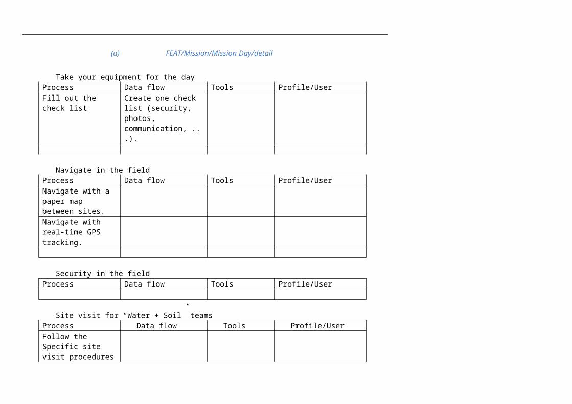
(a) FEAT/Mission/Mission Day/detail
Take your equipment for the dayProcess Data flow Tools Profile/UserFill out the check list Create one check list
(security, photos, communication, ...).
Navigate in the fieldProcess Data flow Tools Profile/UserNavigate with a paper map between sites.Navigate with real-time GPS tracking.
Security in the fieldProcess Data flow Tools Profile/User
Site visit for “Water + Soil” teamsProcess Data flow Tools Profile/UserFollow the Specific site visit procedures
Site visit for others teams (forestry, marine team, biodiversity, …)Process Data flow Tools Profile/UserTake photosTake sampleMake observations

Take photos during navigation phases.Process Data flow Tools Profile/UserTake photos with a GPS camera.
Geo-tagged photos
Save data of the dayProcess Data flow Tools Profile/UserAutomatic Back upManual back up
Store samples of the dayProcess Data flow Tools Profile/UserSoil samplesWater samplesOthers samples
Prepare equipment for day+1Process Data flow Tools Profile/UserPlug all your electronic devices.Make sure you have enough memory on your different electronic devices.

Daily debriefProcess Data flow Tools Profile/UserCheck consistancy of data collated
Tools to display data.
Define sites that will be visited for Day +1Check sites that have been visited
Taking sampleProcess Data flow Tools Profile/UserDecide the point where you want to take a sample.Take the sample filling the electronic form
c) FEAT/After Mission
Process Data flow Tools Profile/UserSend all samples to the labs
Geo-referenced Samples
Mail DHL Assistant
Send all field information to the IT manager
Geotagged photosPOISampling forms
Using a web interface ExpertsAssistant
Receive results from the labs
Tables Internet/Mail All
Produce “sample location maps”
Maps ArcGis Carto section
Produce “POI maps” Maps ArcGis Carto section

II. Post-Conflict Environmental Assessment (PCEA)
A. Description
Post-Conflict Environmental Assessments seek to provide an objective scientific assessment of the environmental situation in a country after a conflict. They aim to inform the general public on environmental risks associated with the conflict, and to provide guidance to local governments on priority issues to be addressed.
Example: Sudan, Rwanda, DRC
Particularity: Usually, Many missions of individual experts (except Rwanda where all the experts spent 2 weeks in the field at the same time). Individual experts manage entirely their mission (navigation, security, backing up files, photos, equipment). Not necessarily direct impacts of conflicts or disasters visible.
Main phases Before Mission Mission (s) After Mission
Timelines:Between start and report: 1-2 years.
Mission DayProcess Data flow Tools Profile/UserTake your
equipment for the day.Navigate in the fieldSecurity in the field

Site visitTake photos during
navigation phases.Save all data of the
dayCollate all samples
taken during the dayStore samples taken
during the day.Prepare equipment
for day +1
III. From the Geo-information perspective
A. Before Mission
Users/Audience/Public
Process Process Data flow Tools
Definition of the sites to inspect in the field.
Receive notification from the Project Manager.
Create new project where all information will be stored.Geo-reference information from Reports.Geo-reference the information from Media.Georeference from Risk analysis (if this site has been impacted, it would be bad)

Produce a shapefile of the area where to acquire images.Choose the type of image needed.Send the shapefile to the satellite image provider by mailFill in the order requestReceive purchase order from the companySign purchase orderFax POSatellite is programmed.Image is acquiredImage is made available on an ftp siteImage is downloadedBands are combined.Image is tunedCompression of the image
Systematic analysis of the image
B. During Mission
C. After Mission

IV. Field test for procedures:
A. Objective:
Test and Improve SOP.Prepare the training package that should be delivered to the post conflict experts.Take illustrative photos of SOP that will be used for SOP outputs (web, powerpoint, pdf, …).
B. Program
2 days in the field.Day 1 : test of preliminary SOP. All activities described in the SOP Mission Day will be tested with all equipement and applications developed on mobile office.At the end of Day 1, SOP will be revised based on issues raised during the field test.
Day 2 : test the final SOP.All activities described in the SOP and improved after Day 1 (SOP + tools + softwares + applications) will be tested.During this day, all different phases of SOP will be photographed for illustrative purpose.
C. Equipement
1. In the field:
Car
Electronic Devices: Laptop with Built-in GPS/Softwares/applications on the laptop GPS camera Personal Tracking system Video camera Phone
Sampling kit

2. In the office/operation room:
One PC with internet.Application running: mission tracking system.
D. People involved
Day 1:In the field:
One environment expert (Mike, Mario …): will verify the feasibility and improve SOP proposed. One IT expert (Richard) One Geo-Information expert (Yves) One assistant (Hannoah)
In the operation room: One manager: for the real time “Mission tracking”
Day 2:In the field:
One environment expert (Mike, Mario …) One IT expert (Richard) One Geo-Information expert (Yves) One assistant (Hannoah)
In the operation room: One manager: for the real time “Mission tracking”
E. Where ?
Tests should be carried out in the country side around Geneva.

F. When ?
Day 1: as soon as SOP are more advanced … around end of February ?
Day 2: when SOP are in final version.
Related Documents