Cuenca de Santiago

Welcome message from author
This document is posted to help you gain knowledge. Please leave a comment to let me know what you think about it! Share it to your friends and learn new things together.
Transcript
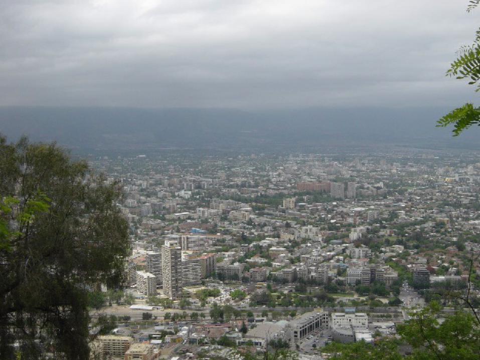
Cuenca de Santiago
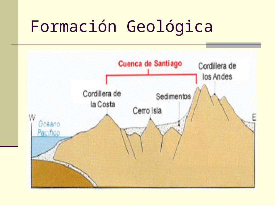
Formación Geológica
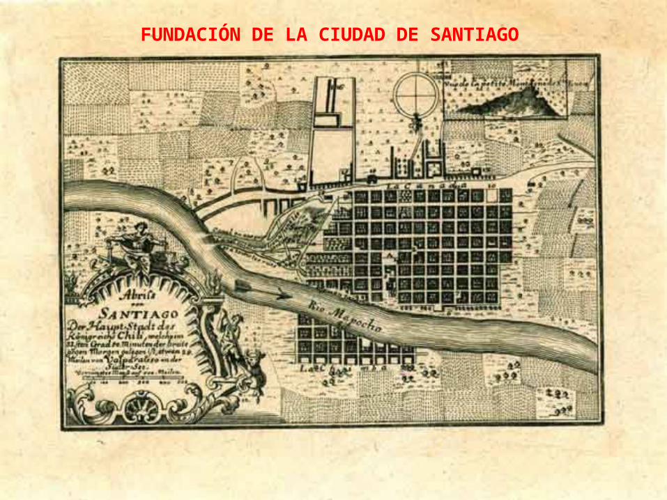
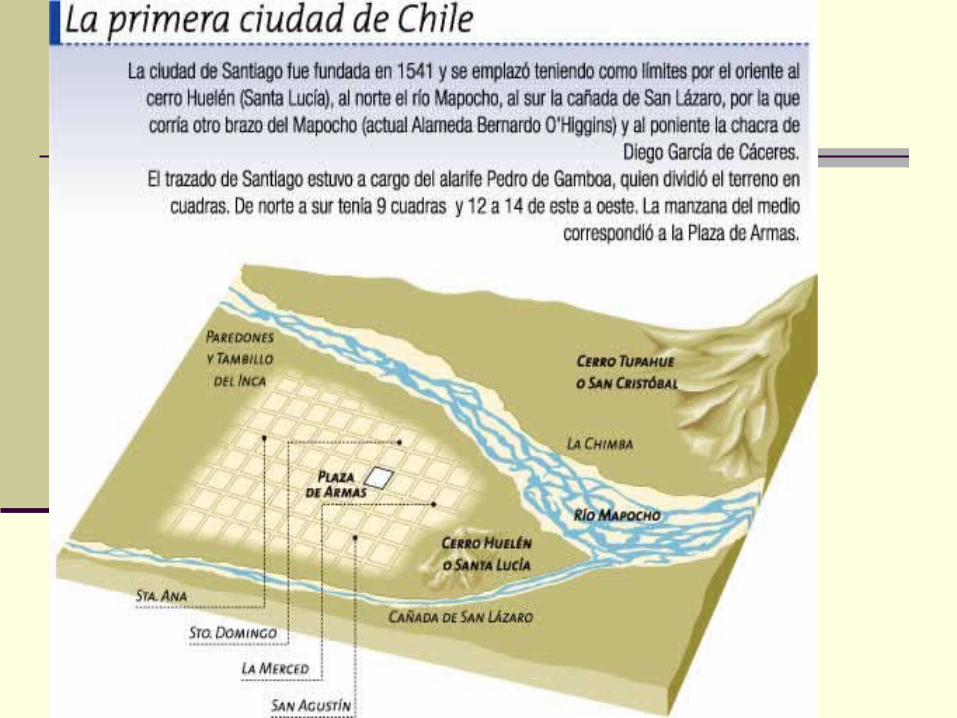
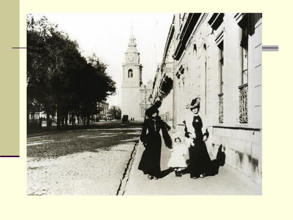
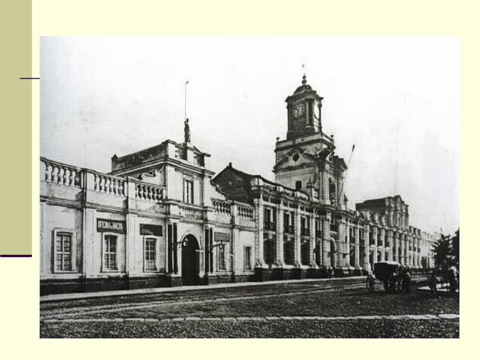
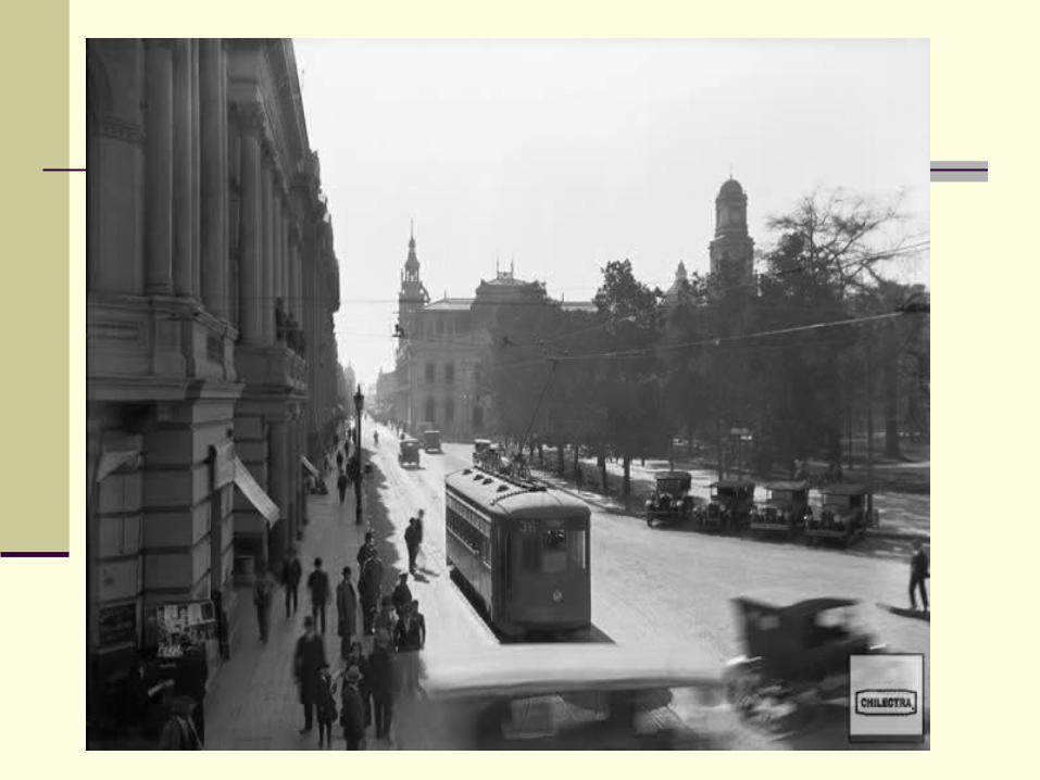
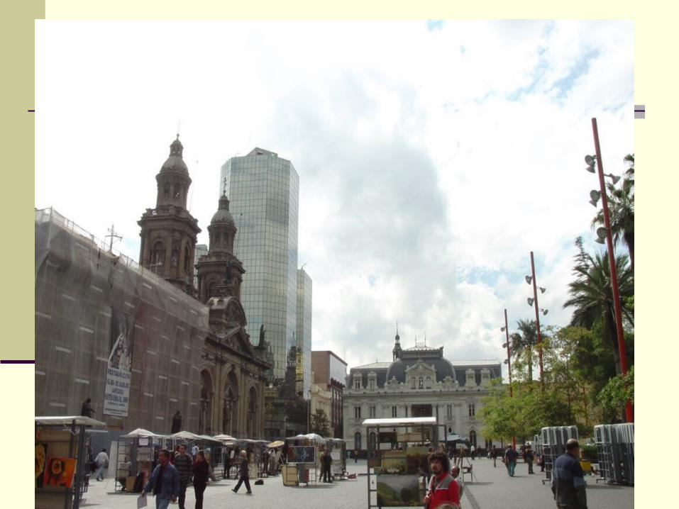
FUNDACIÓN DE LA CIUDAD DE SANTIAGO
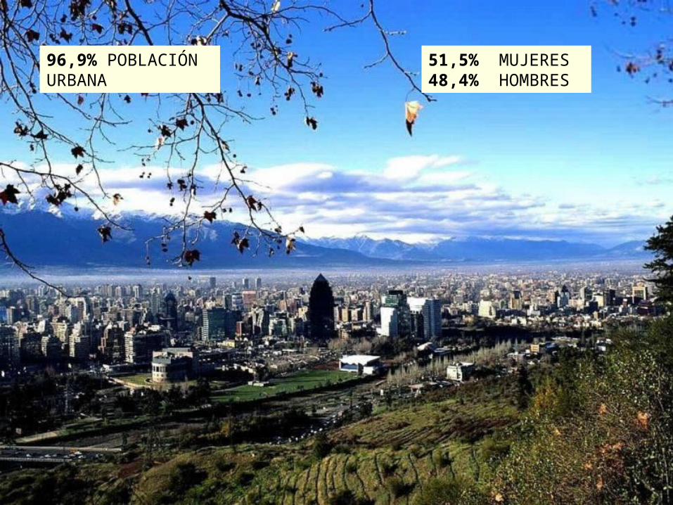
96,9% POBLACIÓN URBANA
51,5% MUJERES48,4% HOMBRES
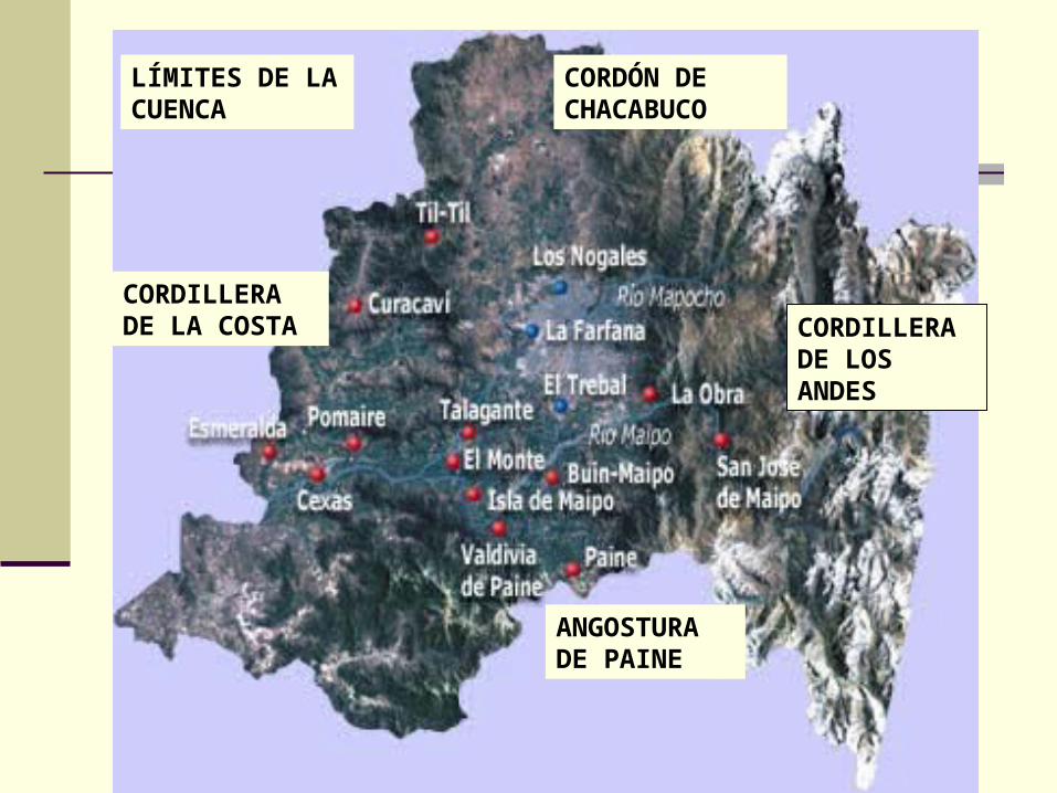
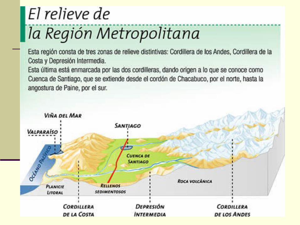
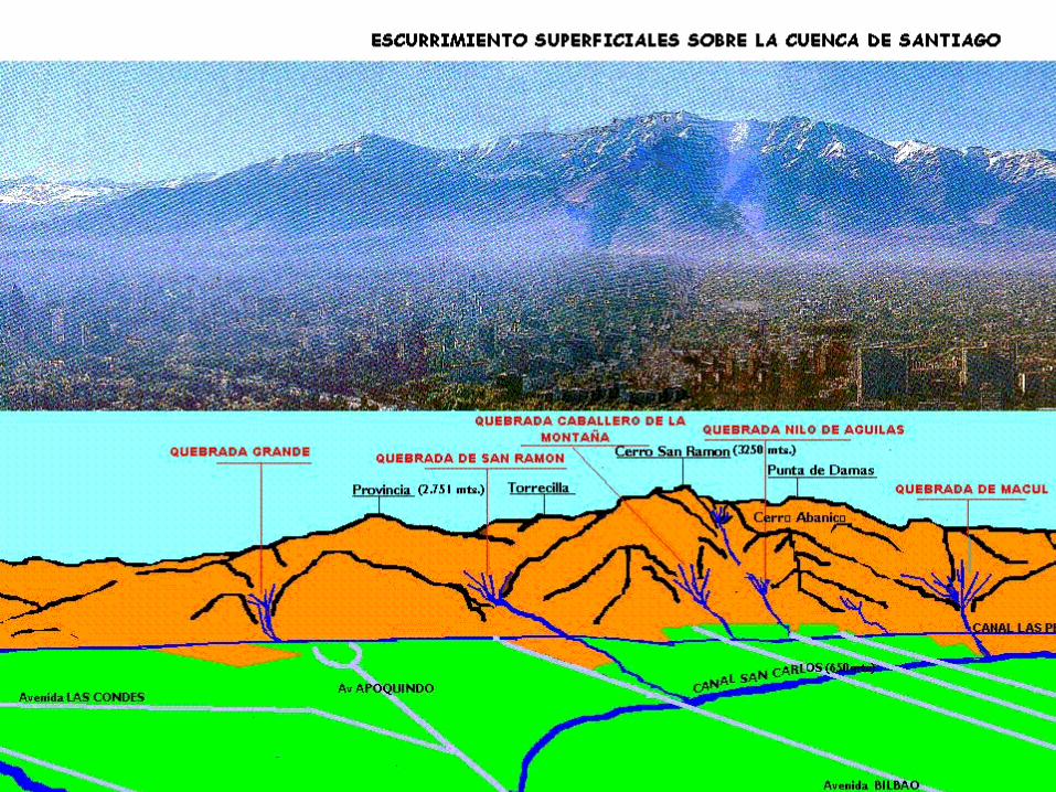
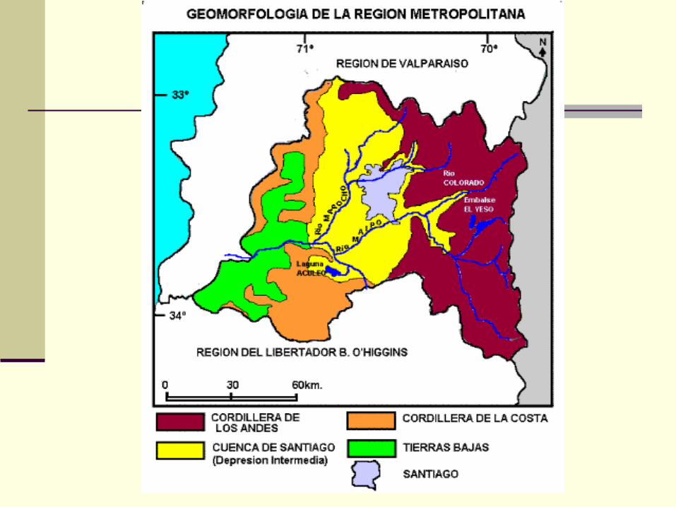
LÍMITES DE LA CUENCA
CORDÓN DE CHACABUCO
ANGOSTURA DE PAINE
CORDILLERA DE LA COSTA CORDILLERA
DE LOS ANDES
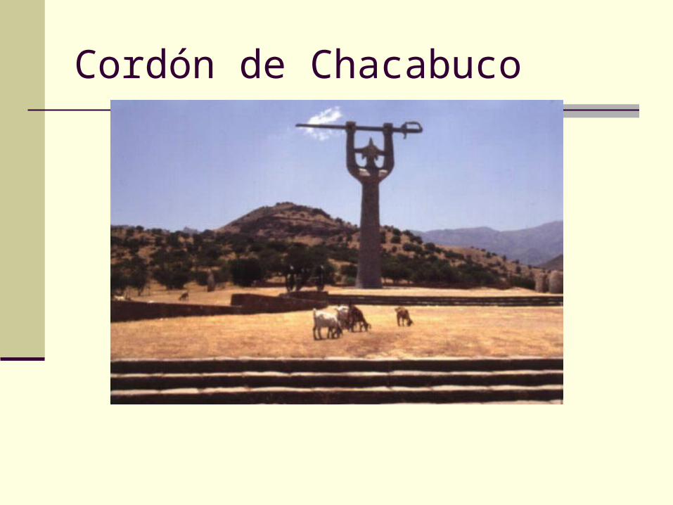
Cordón de Chacabuco
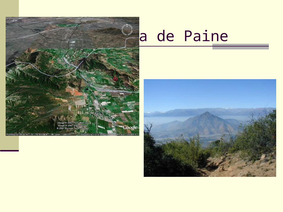
Angostura de Paine
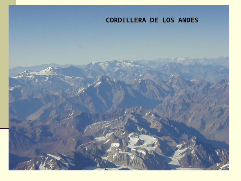
CORDILLERA DE LOS ANDES
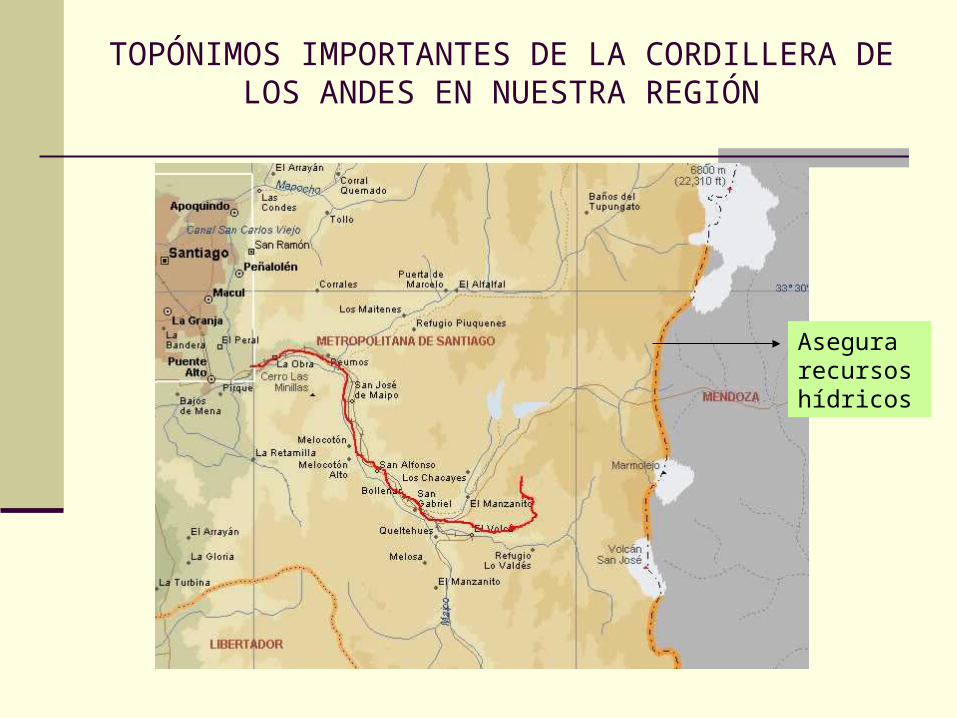
TOPÓNIMOS IMPORTANTES DE LA CORDILLERA DE LOS ANDES EN NUESTRA REGIÓN
Asegura recursos hídricos
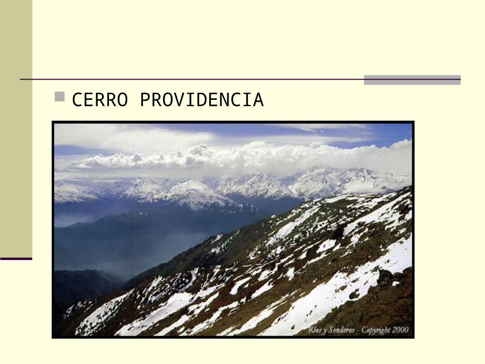
CERRO PROVIDENCIA
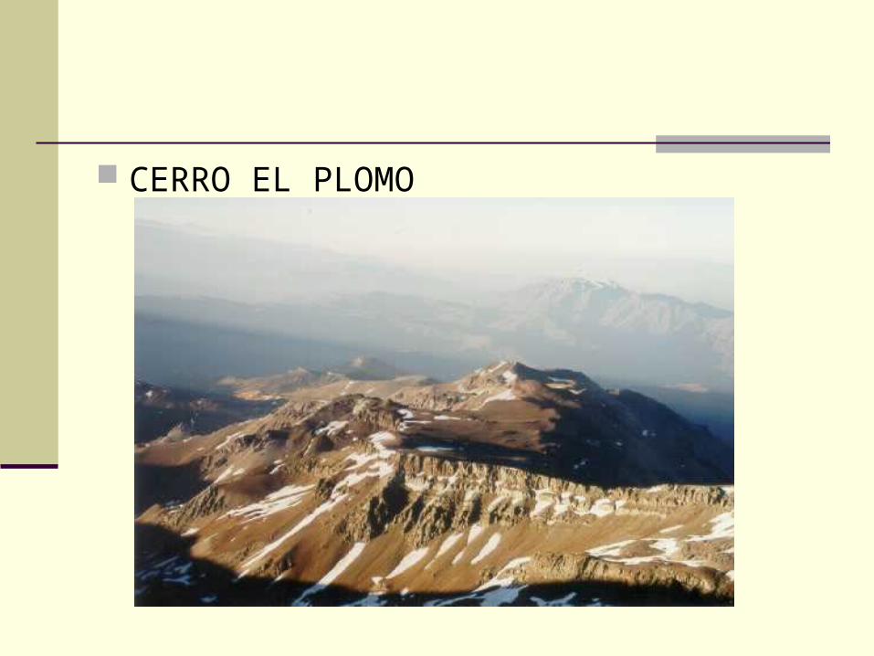
CERRO EL PLOMO
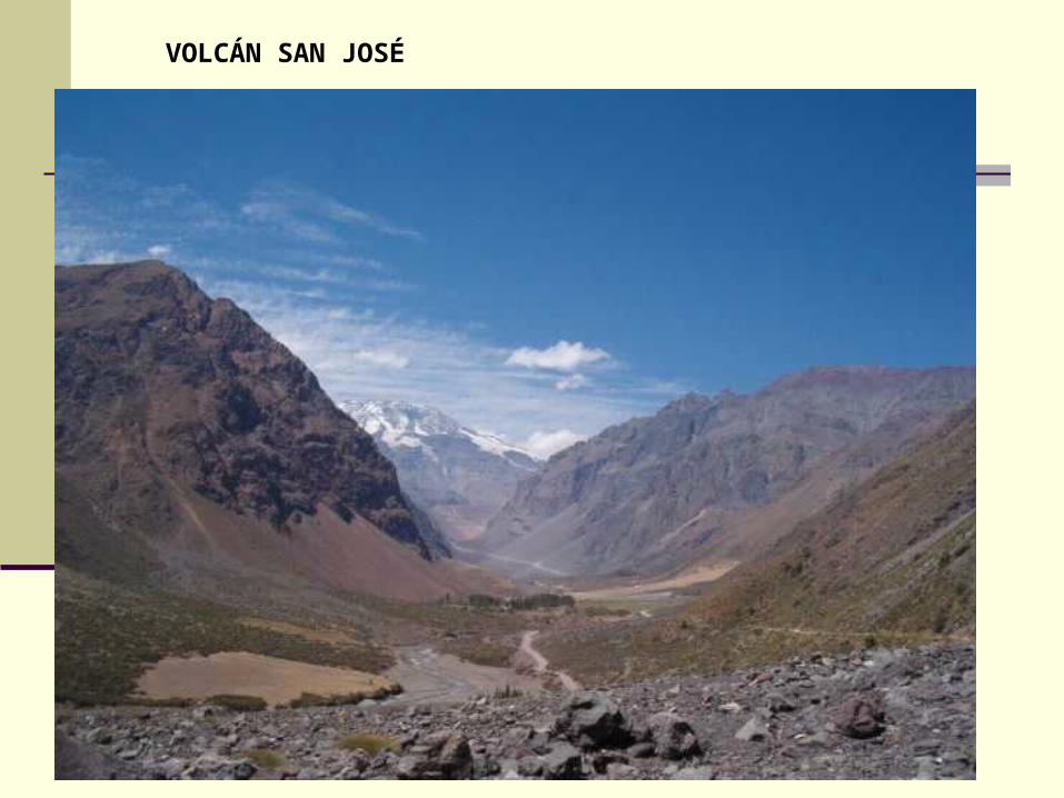
VOLCÁN SAN JOSÉ
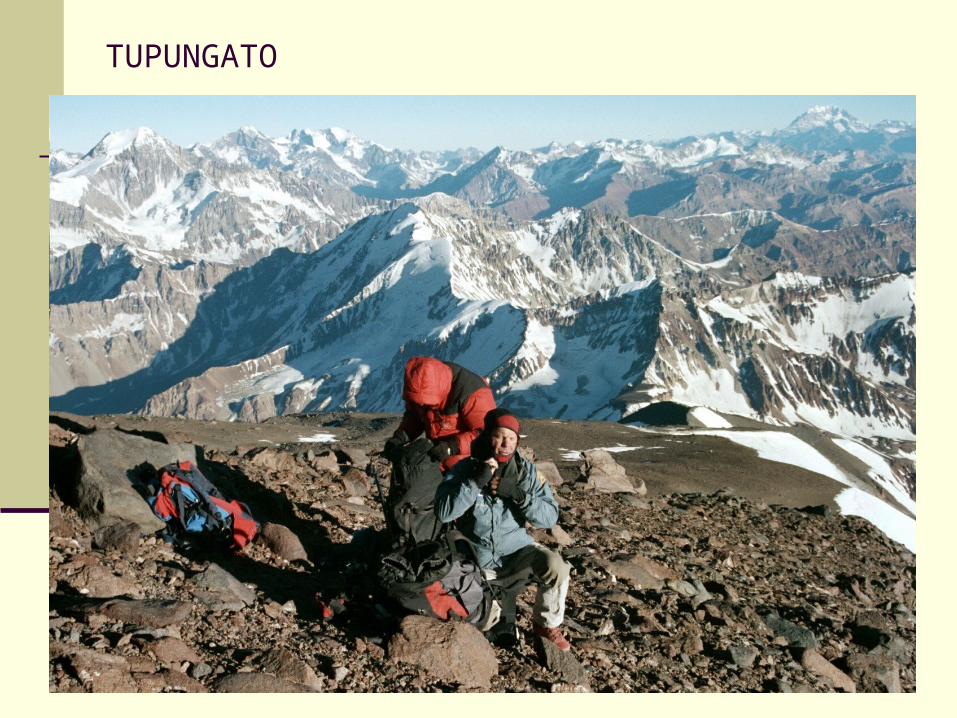
TUPUNGATO
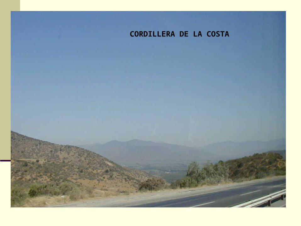
CORDILLERA DE LA COSTA
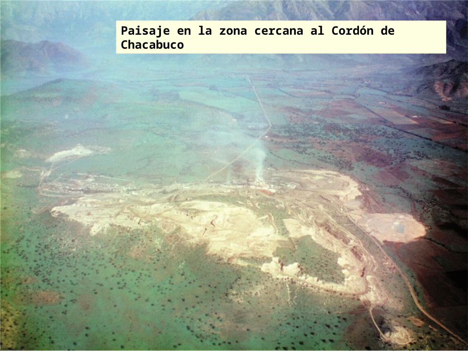
Paisaje en la zona cercana al Cordón de Chacabuco
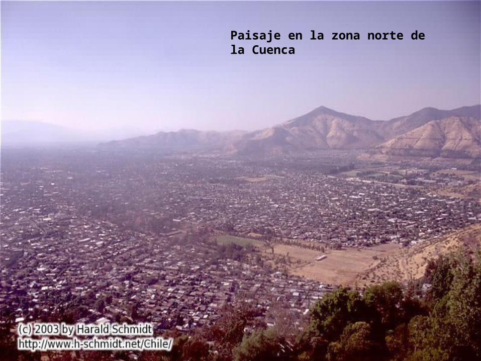
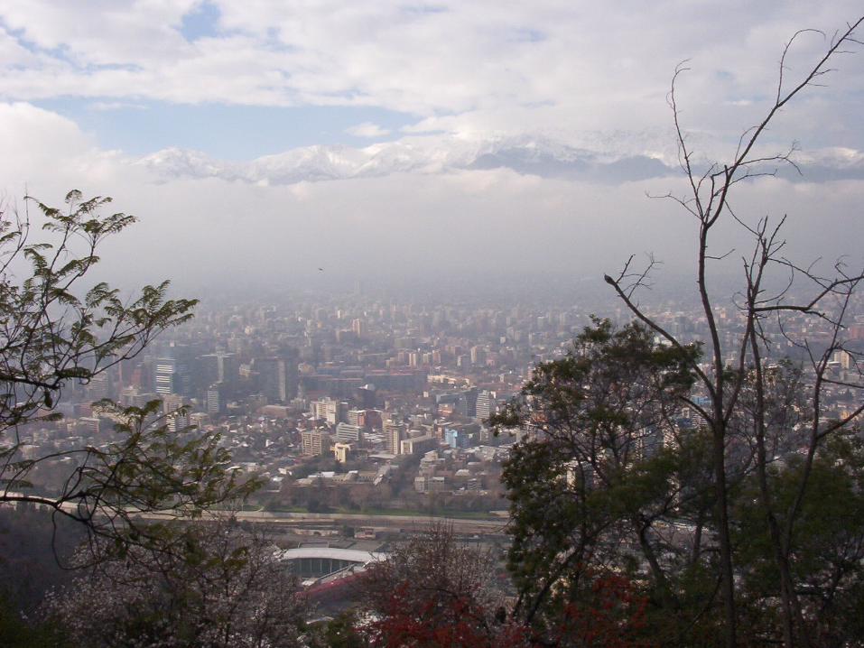
Paisaje en la zona norte de la Cuenca
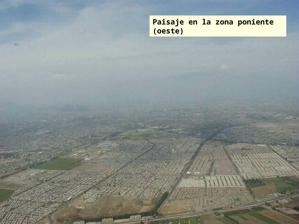
Paisaje en la zona poniente (oeste)
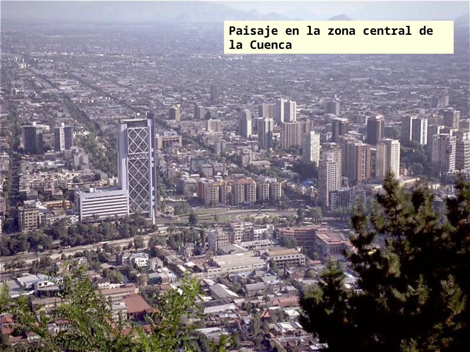
Paisaje en la zona central de la Cuenca
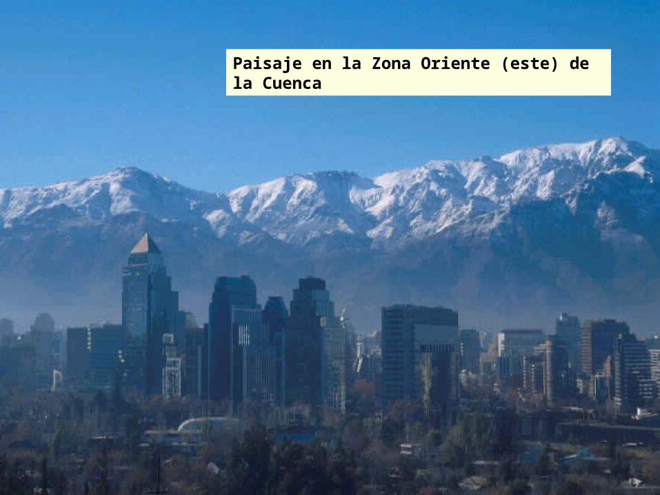
Paisaje en la Zona Oriente (este) de la Cuenca
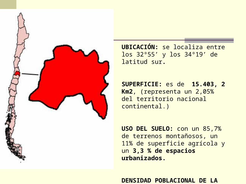
UBICACIÓN: se localiza entre los 32º55’ y los 34º19’ de latitud sur.
SUPERFICIE: es de 15.403, 2 Km2, (representa un 2,05% del territorio nacional continental.)
USO DEL SUELO: con un 85,7% de terrenos montañosos, un 11% de superficie agrícola y un 3,3 % de espacios urbanizados.
DENSIDAD POBLACIONAL DE LA REGIÓN : es de 393,5 hbts. por Km2.
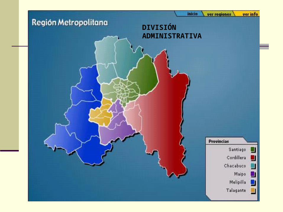
DIVISIÓN ADMINISTRATIVA
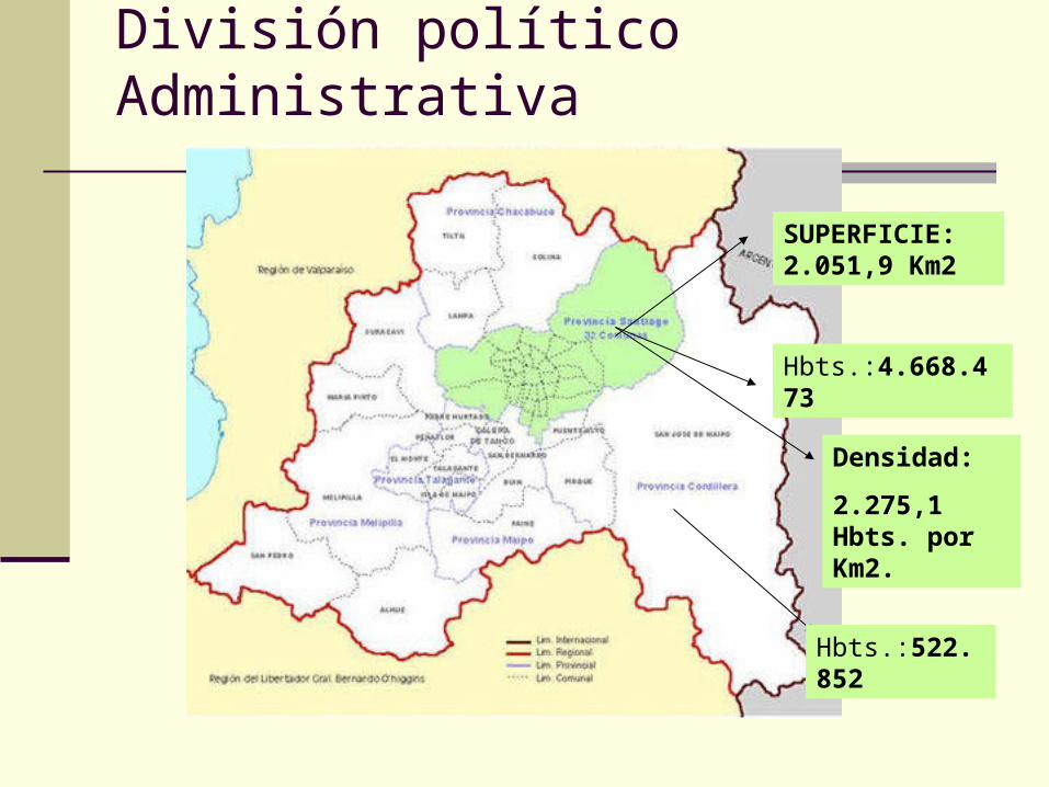
División político Administrativa
SUPERFICIE: 2.051,9 Km2
Hbts.:4.668.473
Hbts.:522.852
Densidad:
2.275,1 Hbts. por Km2.
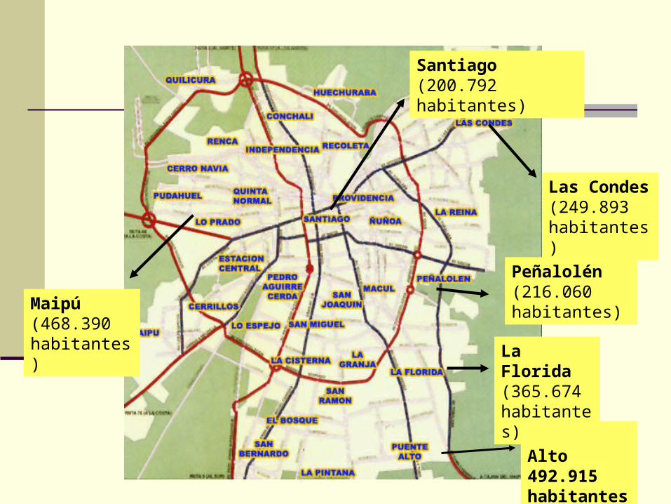
Puente Alto 492.915 habitantes
Maipú (468.390 habitantes)
Las Condes (249.893 habitantes)
Peñalolén (216.060 habitantes)
La Florida (365.674 habitantes)
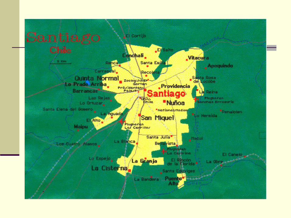
Santiago (200.792 habitantes)
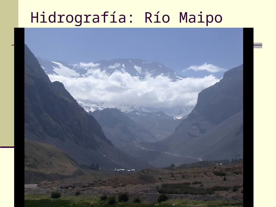
Hidrografía: Río Maipo
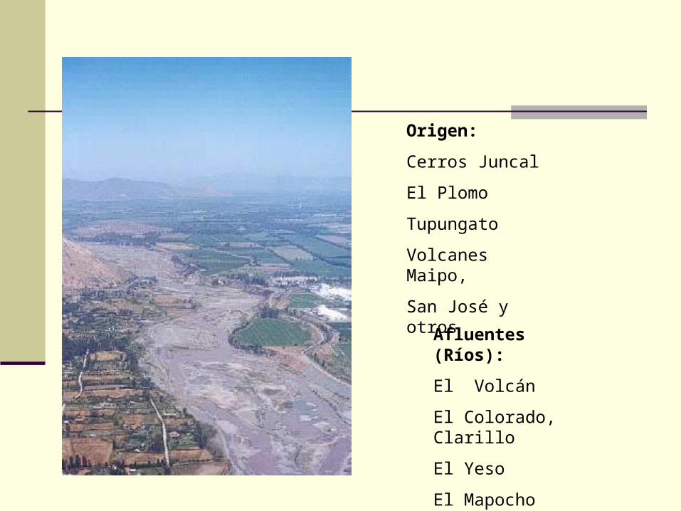
Origen:
Cerros Juncal
El Plomo
Tupungato
Volcanes Maipo,
San José y otros
Afluentes (Ríos):
El Volcán
El Colorado, Clarillo
El Yeso
El Mapocho
Estero Puangue
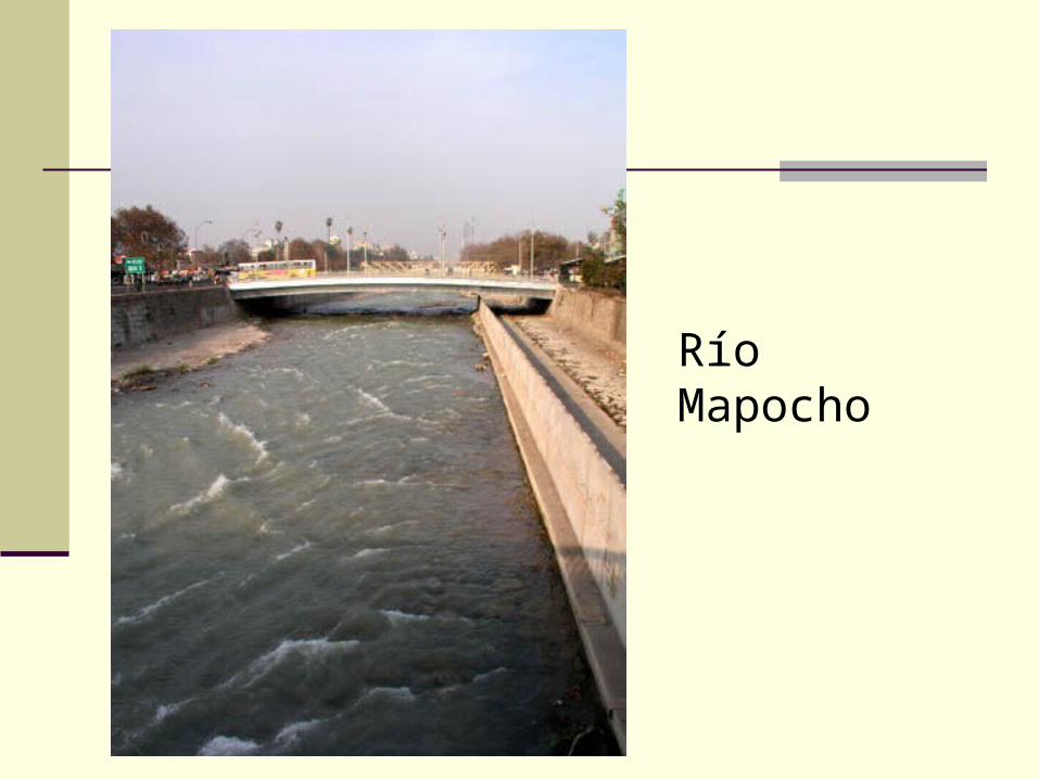
Río Mapocho
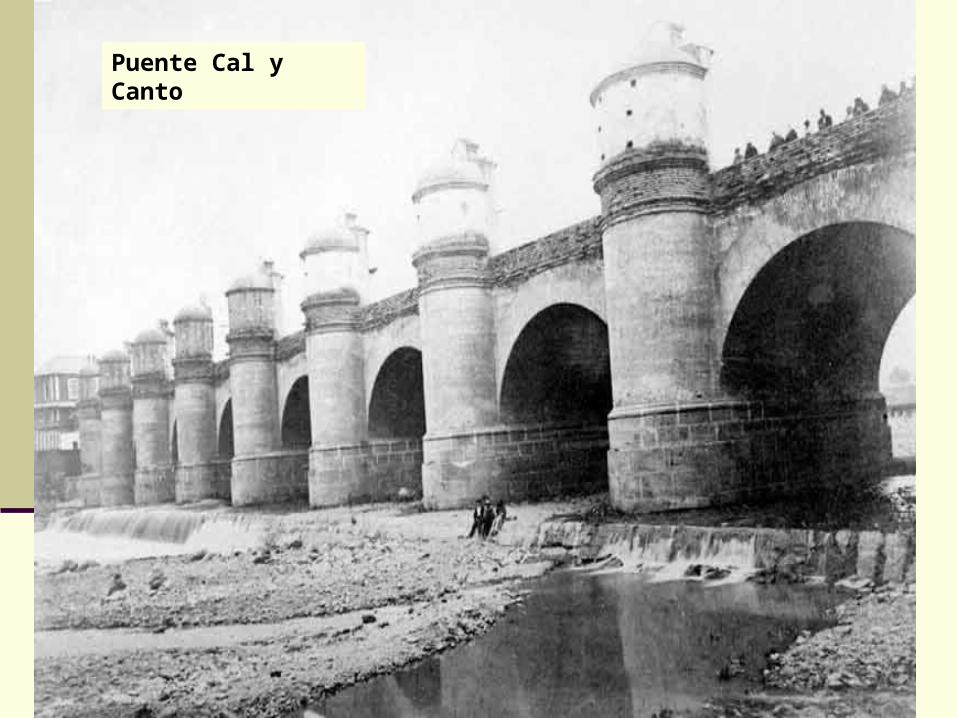
Puente Cal y Canto
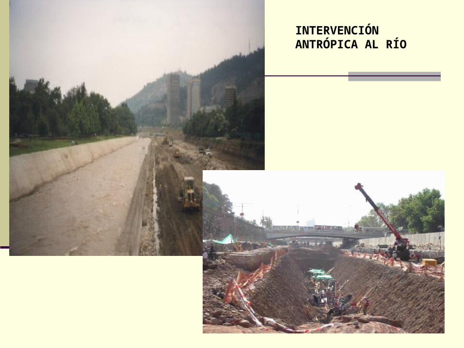
INTERVENCIÓN ANTRÓPICA AL RÍO
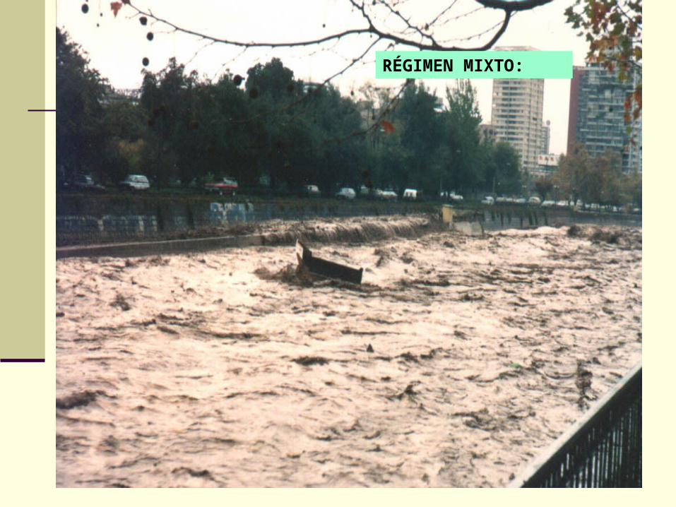
RÉGIMEN MIXTO:
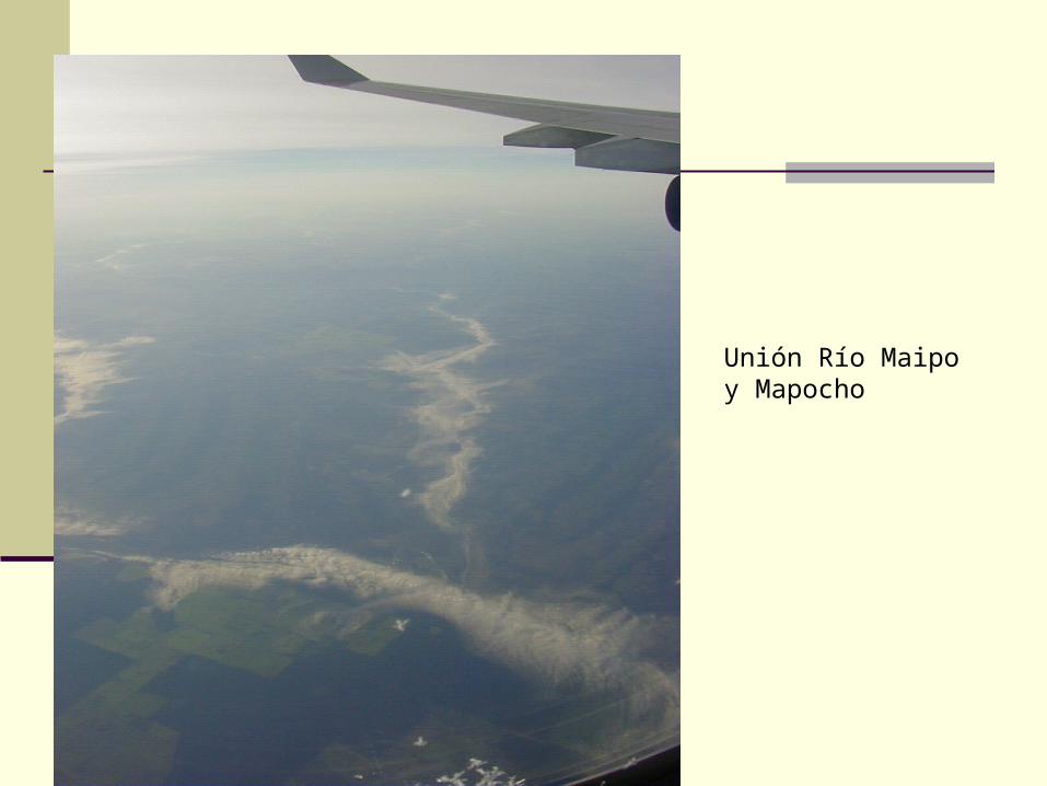
Unión Río Maipo y Mapocho
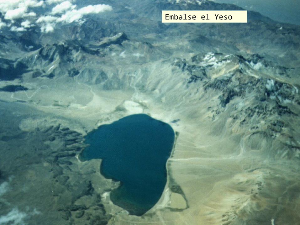
Embalse el Yeso
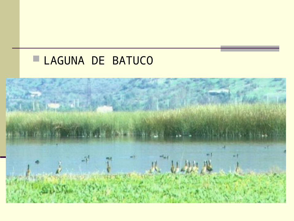
LAGUNA DE BATUCO
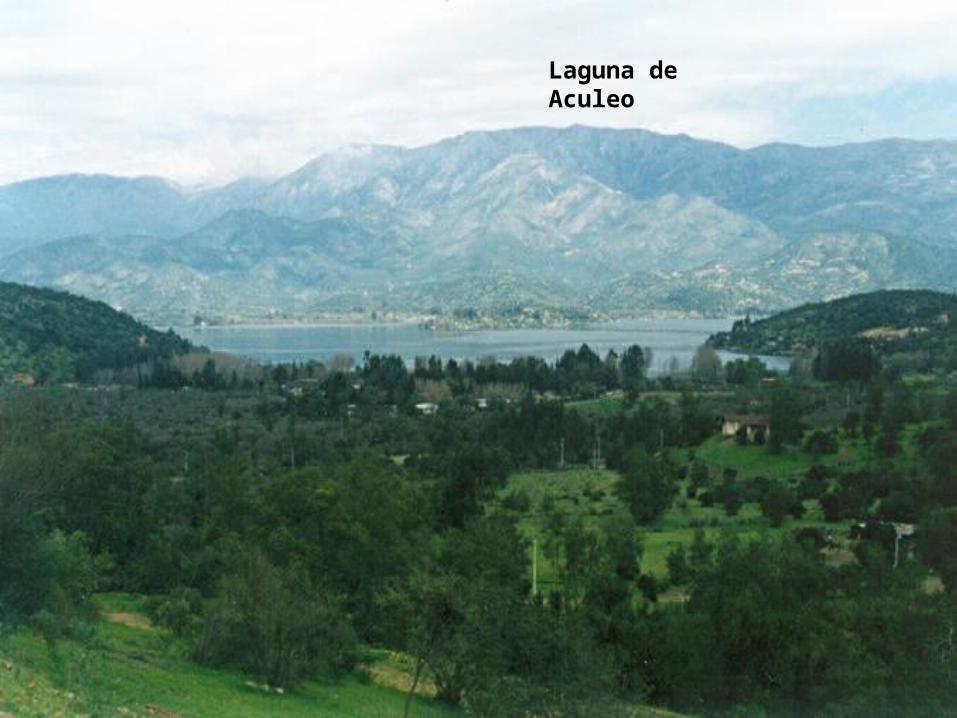
Laguna de Aculeo
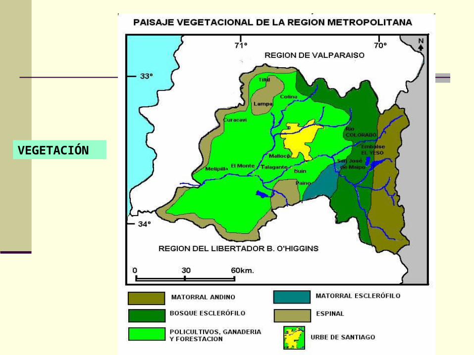
VEGETACIÓN
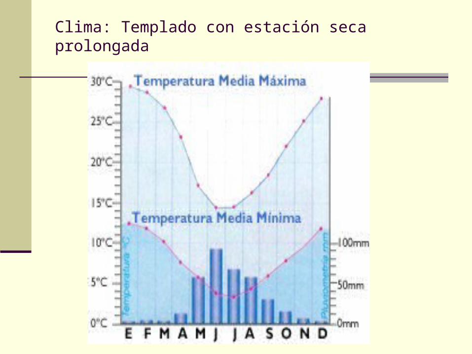
Clima: Templado con estación seca prolongada

POBLACIÓN ACTIVA
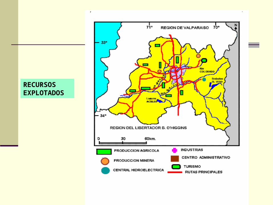
RECURSOS EXPLOTADOS
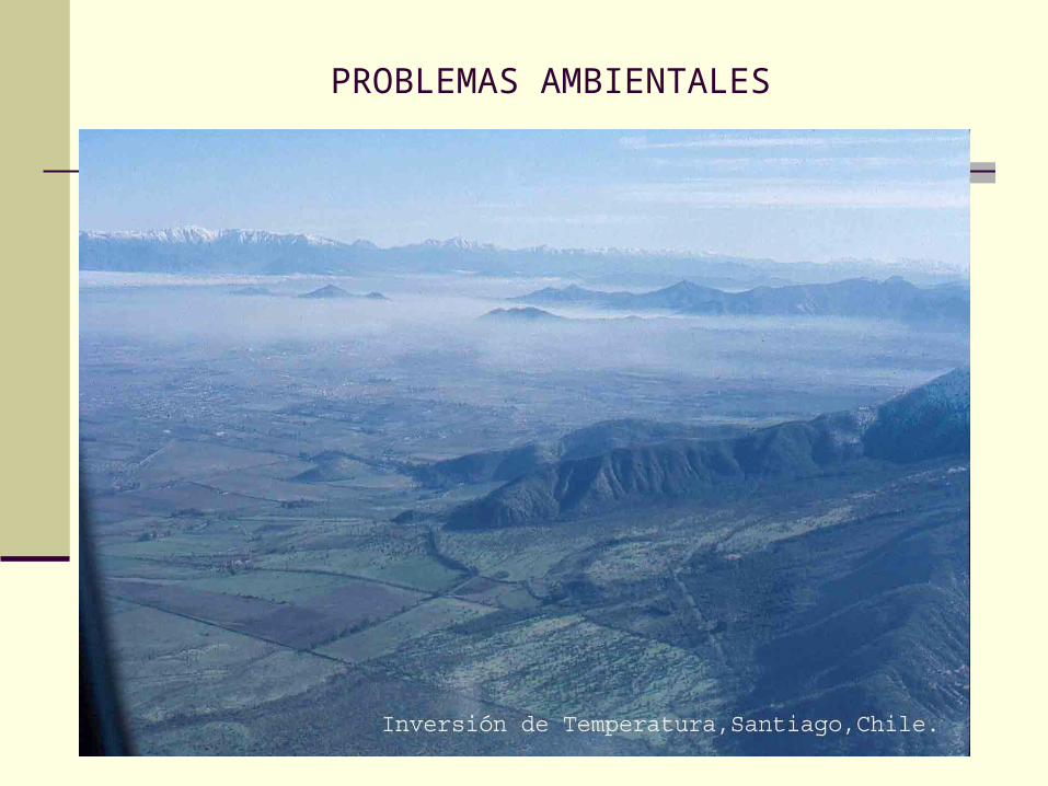
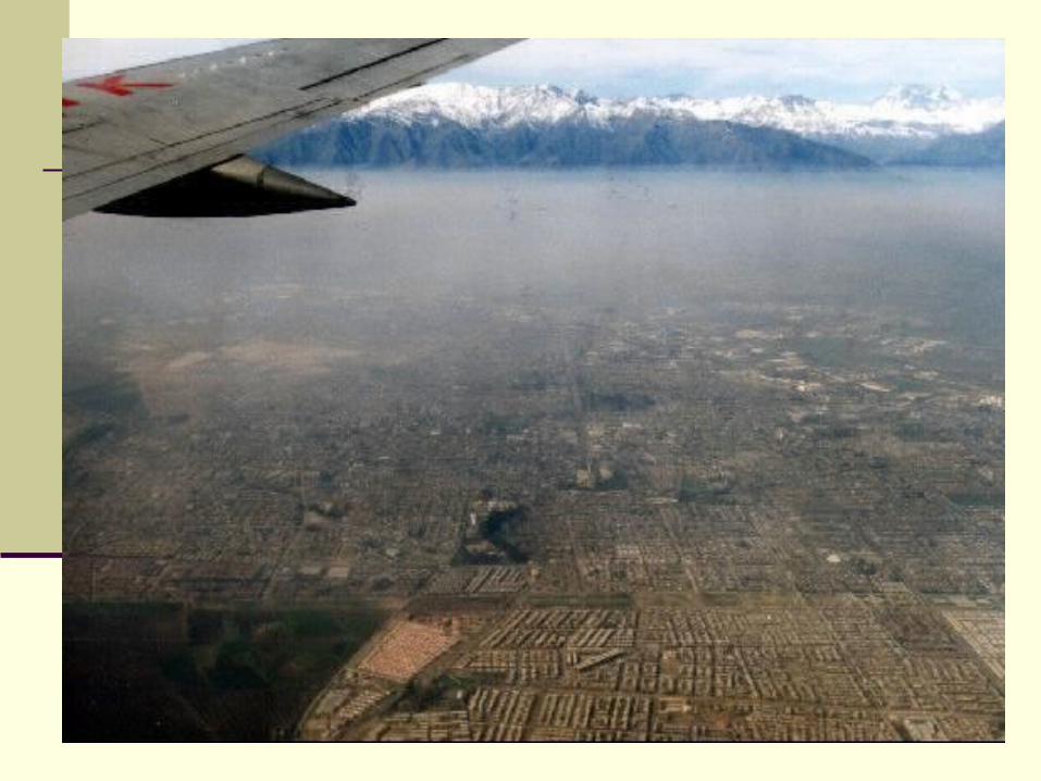
PROBLEMAS AMBIENTALES
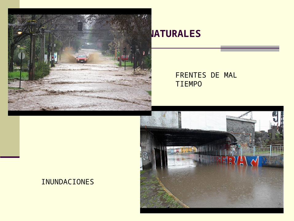
RIESGOS NATURALES
FRENTES DE MAL TIEMPO
INUNDACIONES
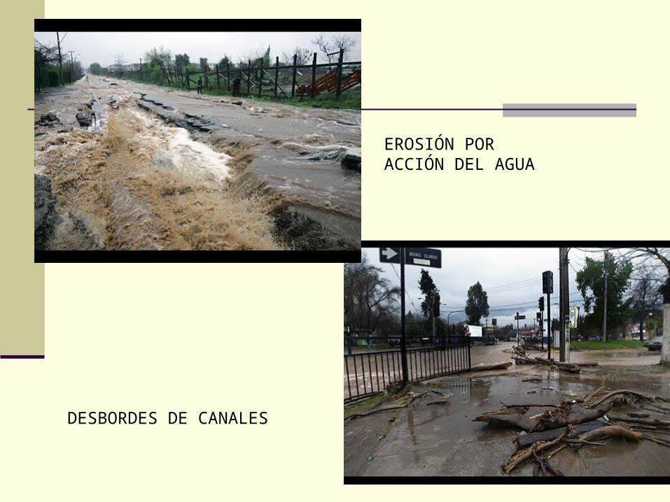
EROSIÓN POR ACCIÓN DEL AGUA
DESBORDES DE CANALES
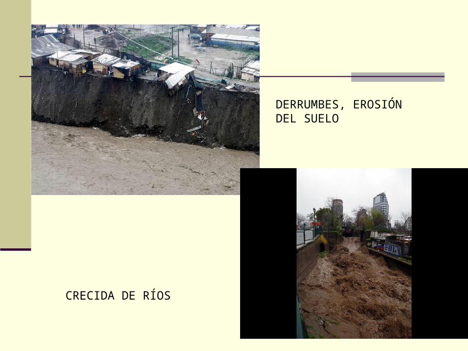
DERRUMBES, EROSIÓN DEL SUELO
CRECIDA DE RÍOS
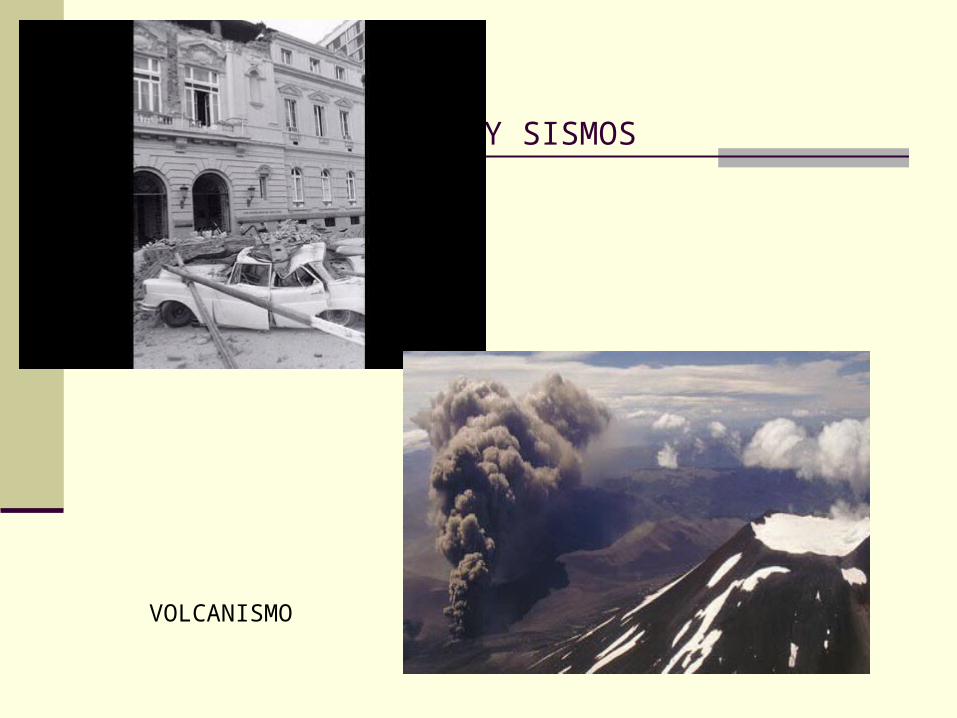
TERREMOTOS Y SISMOS
VOLCANISMO
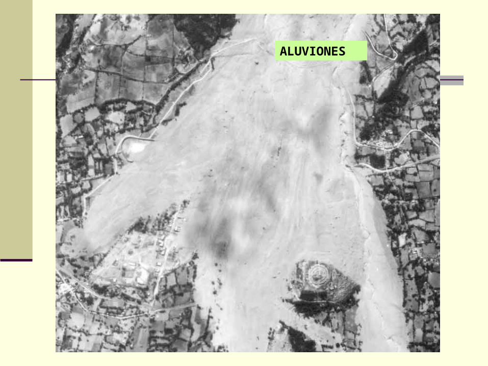
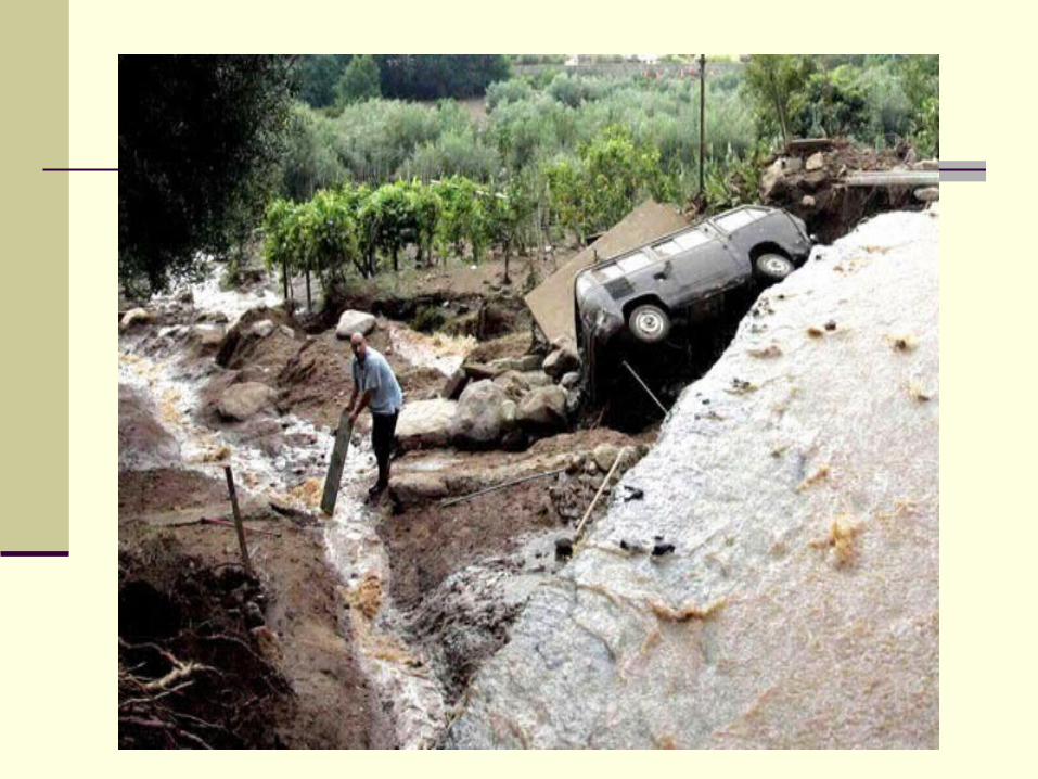
ALUVIONES
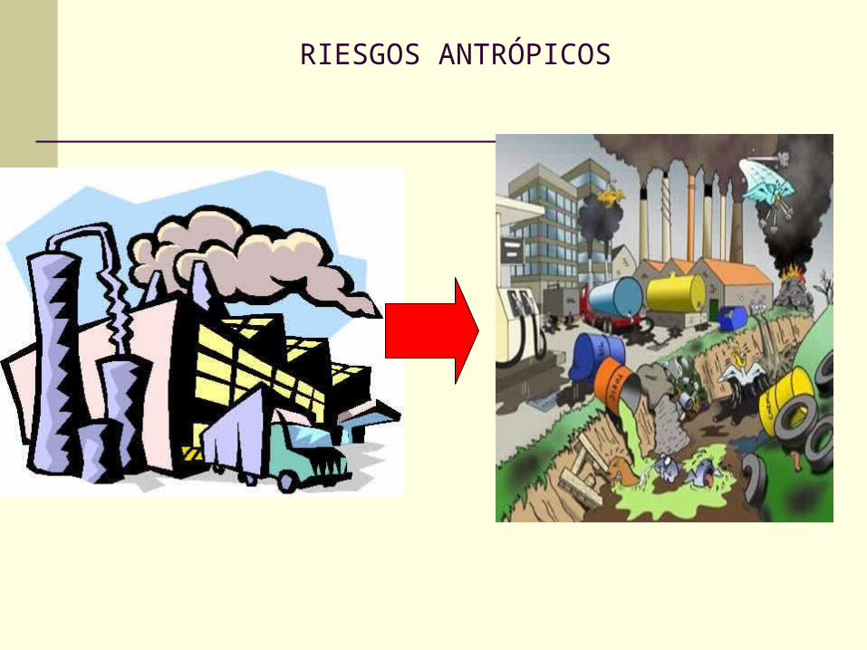
RIESGOS ANTRÓPICOS
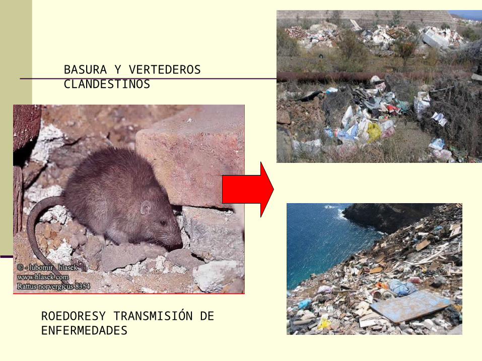
BASURA Y VERTEDEROS CLANDESTINOS
ROEDORESY TRANSMISIÓN DE ENFERMEDADES
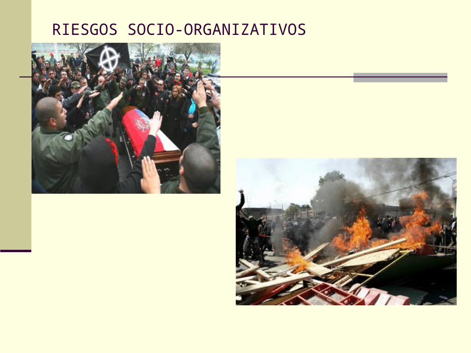
RIESGOS SOCIO-ORGANIZATIVOS

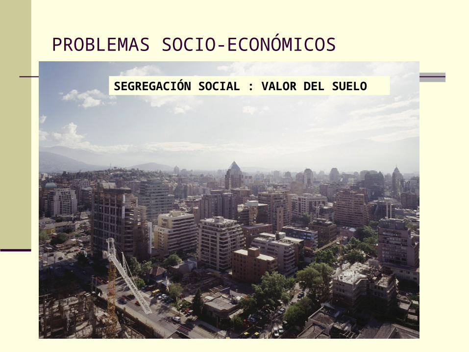
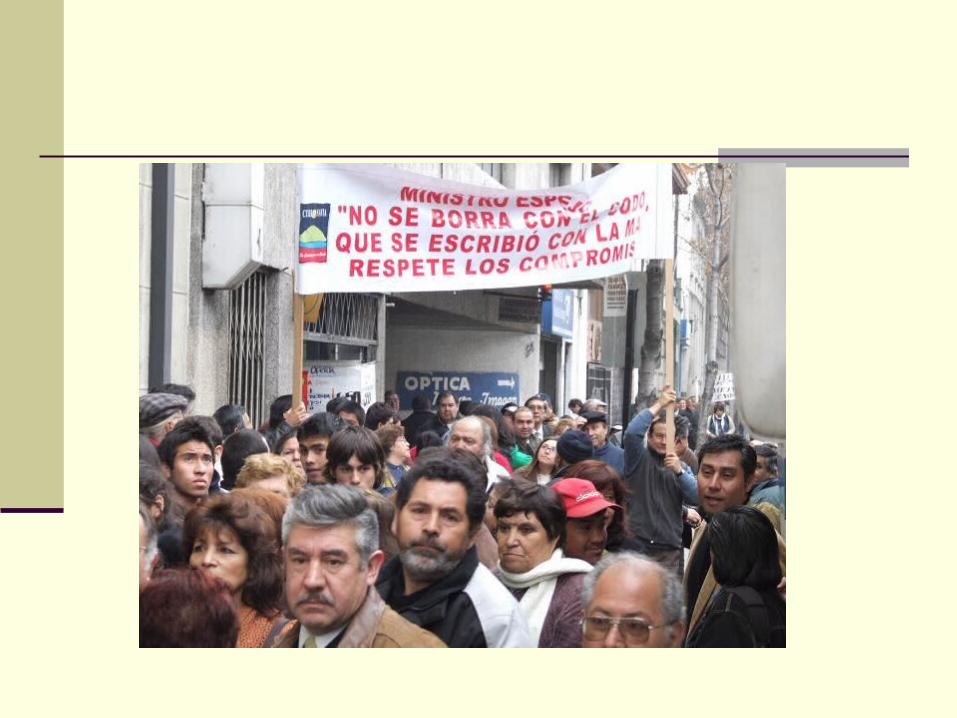
PROBLEMAS SOCIO-ECONÓMICOS
SEGREGACIÓN SOCIAL : VALOR DEL SUELO
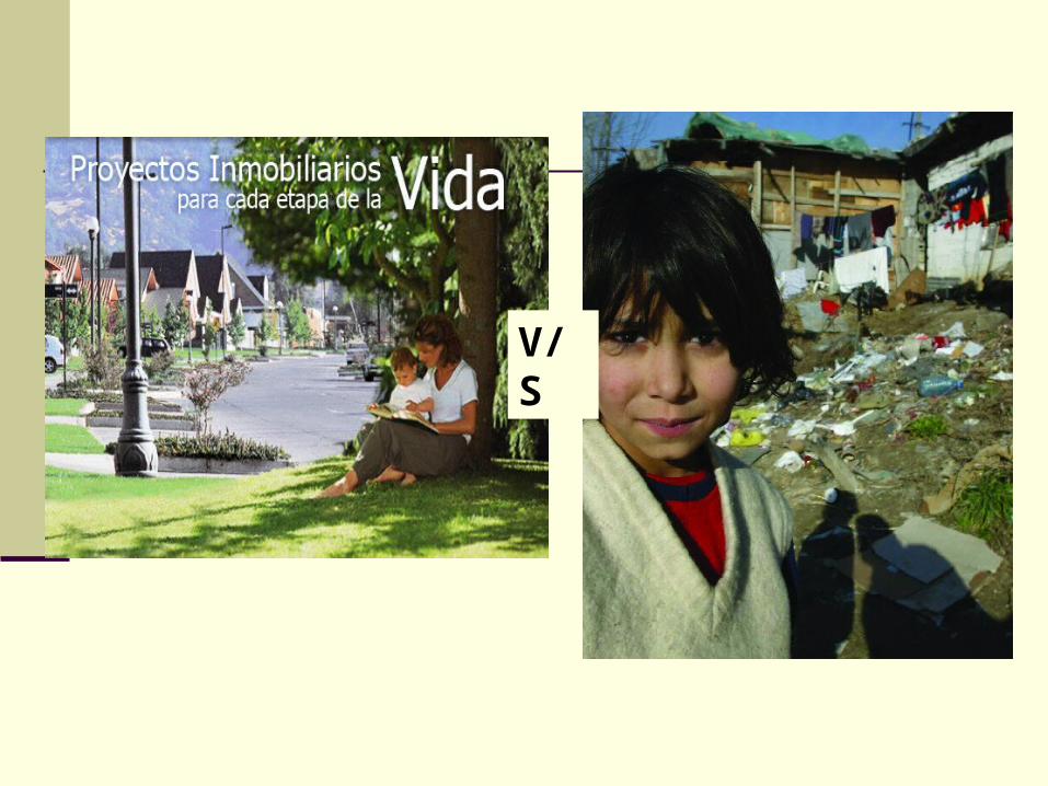
V/S
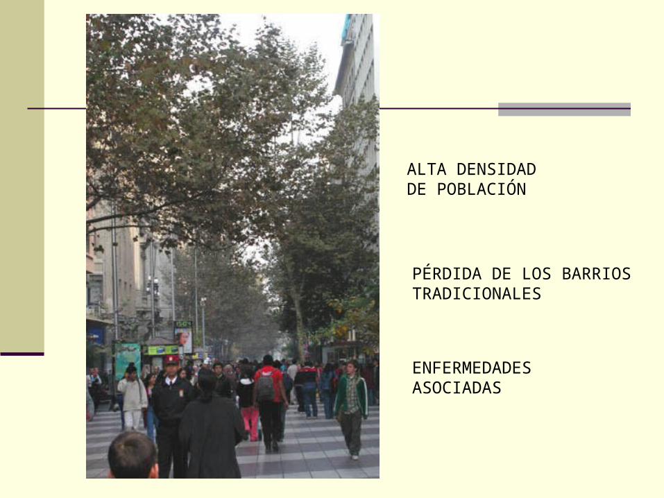
ALTA DENSIDAD DE POBLACIÓN
PÉRDIDA DE LOS BARRIOS TRADICIONALES
ENFERMEDADES ASOCIADAS
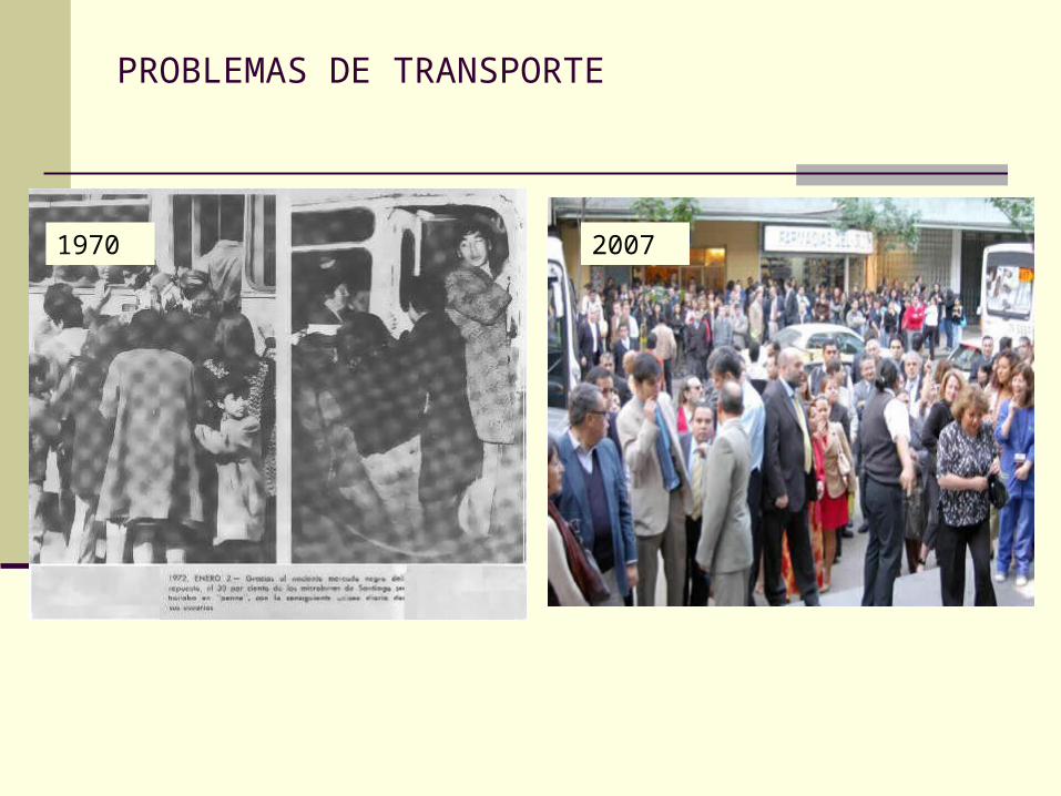
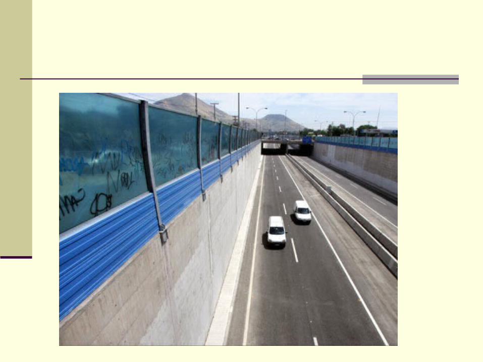
PROBLEMAS DE TRANSPORTE
1970 2007
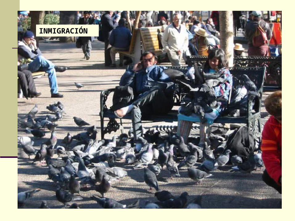
INMIGRACIÓN
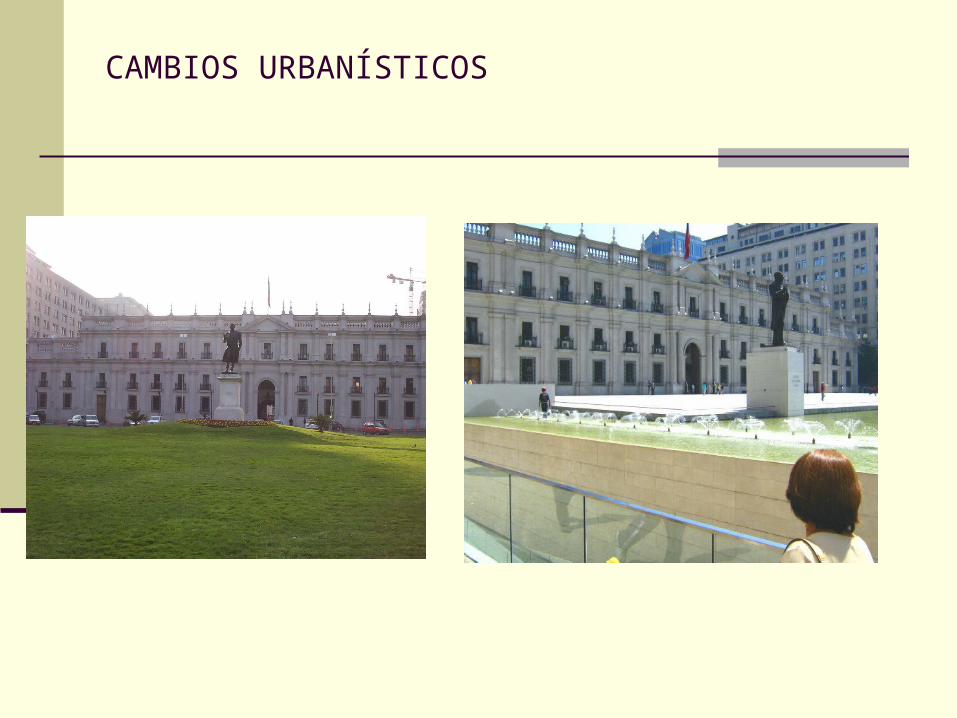
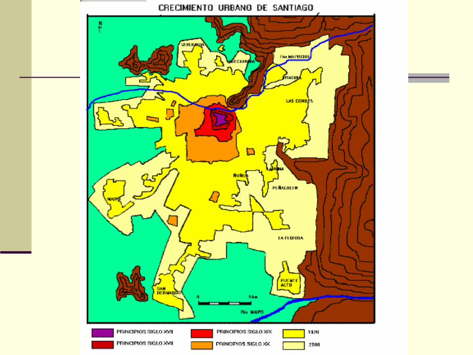
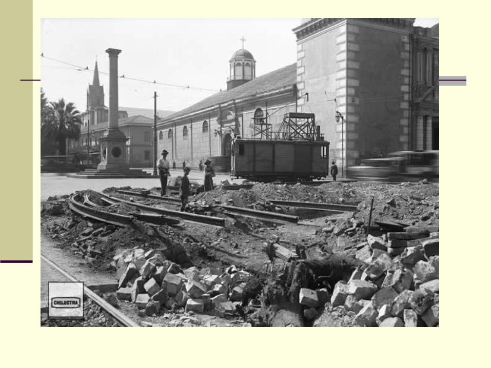
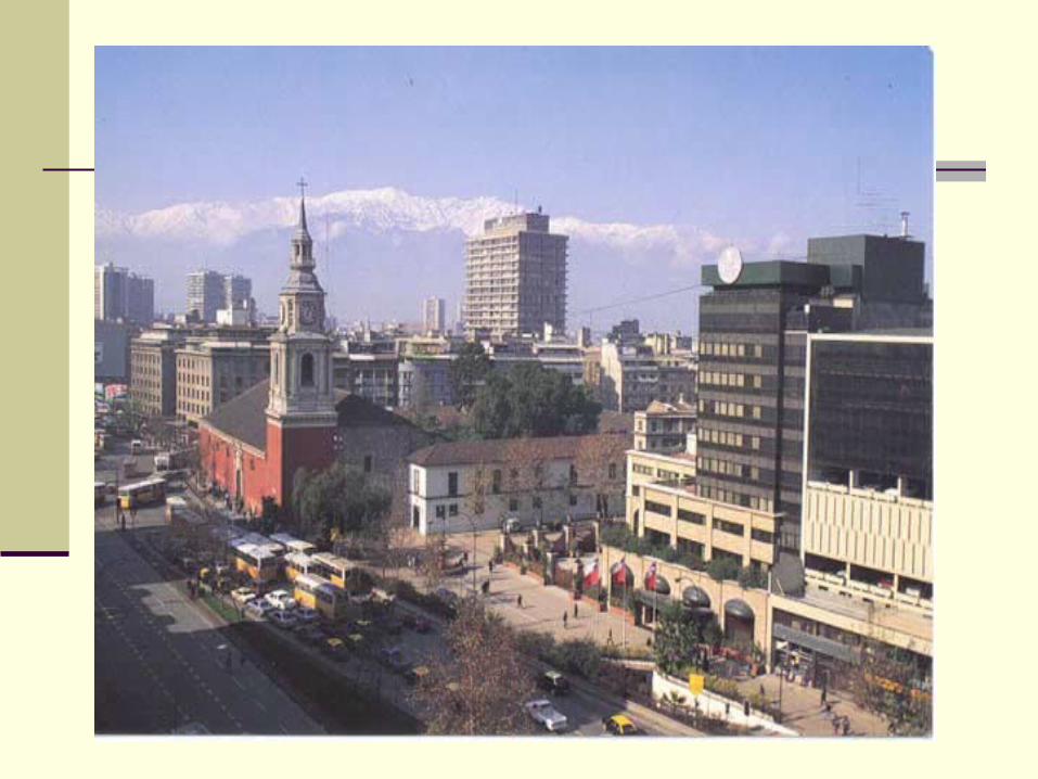
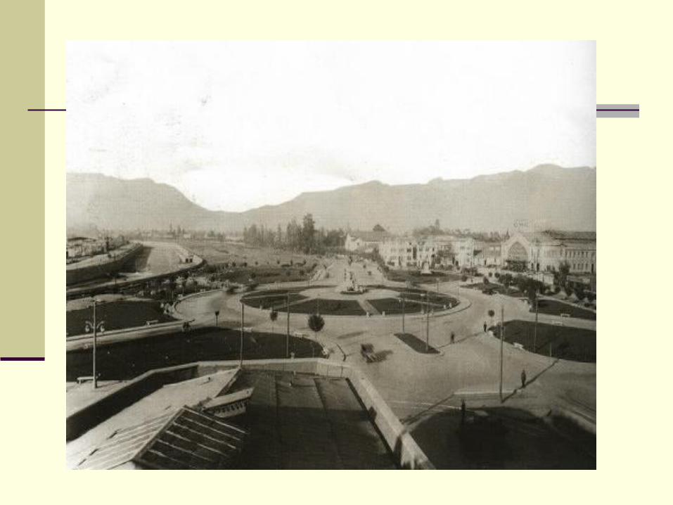
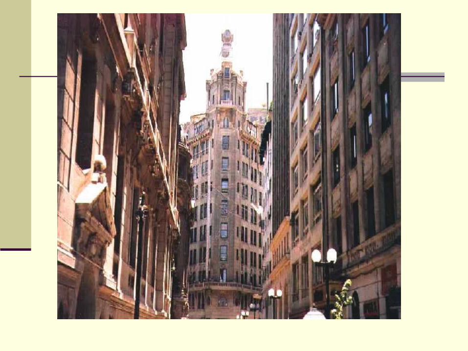
CAMBIOS URBANÍSTICOS
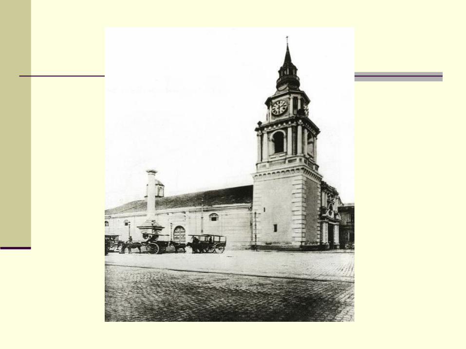
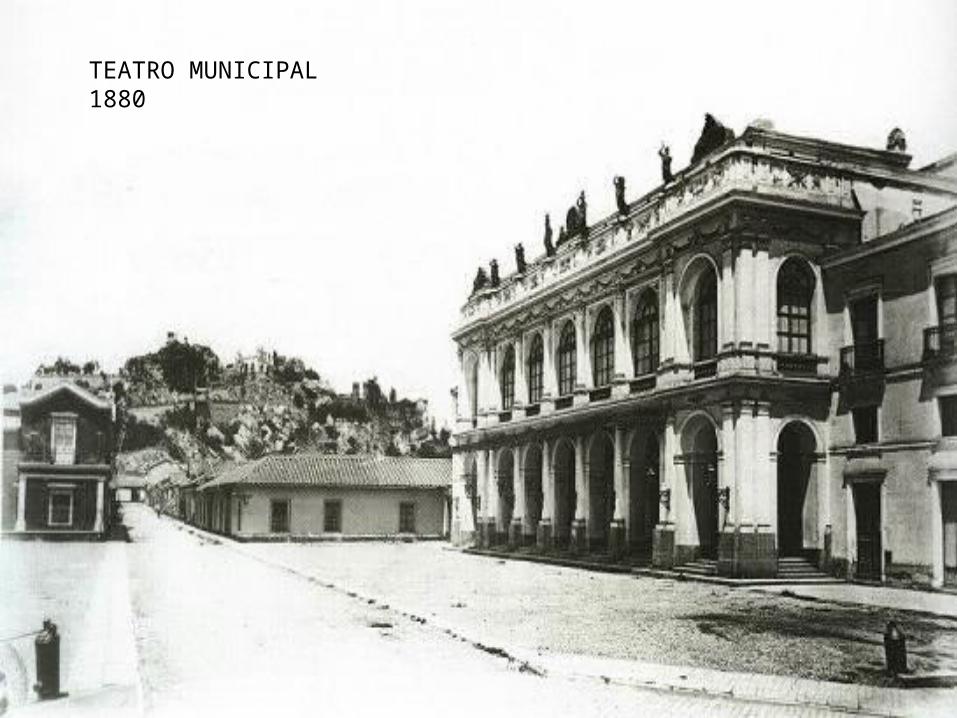
TEATRO MUNICIPAL 1880
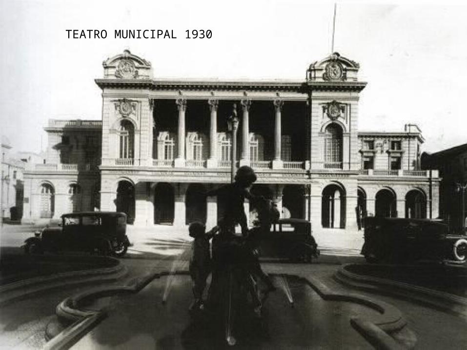
TEATRO MUNICIPAL 1930
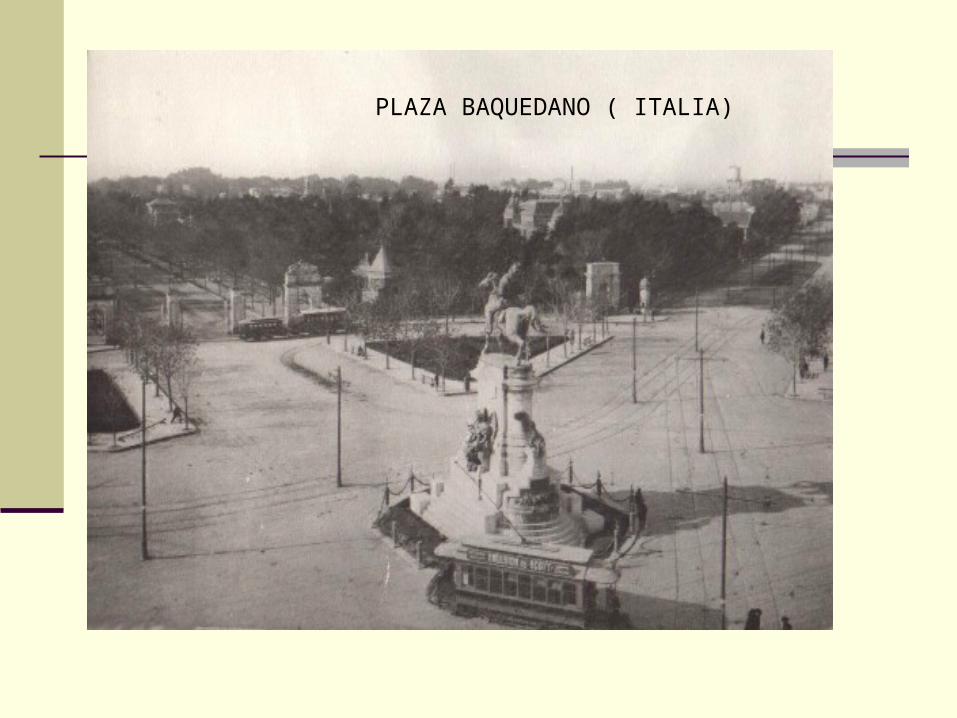
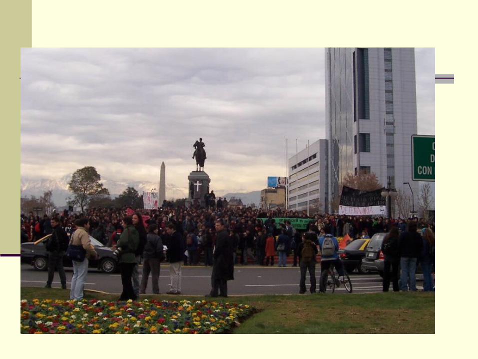
PLAZA BAQUEDANO ( ITALIA)
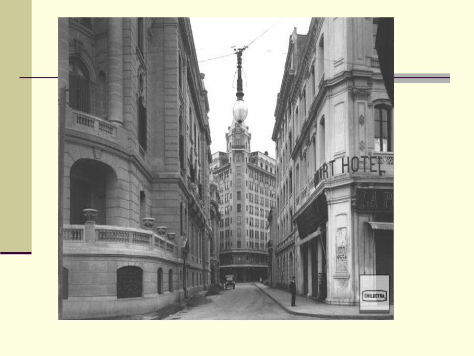
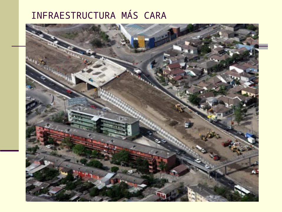
INFRAESTRUCTURA MÁS CARA
Related Documents