CS 128/ES 228 - Lecture 13b 1 Spatial Analysis – A Case Study Patrick Kish Class project for Resource Management 591 West Virginia University 14 Dec 2001

CS 128/ES 228 - Lecture 13b1 Spatial Analysis – A Case Study Patrick Kish Class project for Resource Management 591 West Virginia University 14 Dec 2001.
Dec 19, 2015
Welcome message from author
This document is posted to help you gain knowledge. Please leave a comment to let me know what you think about it! Share it to your friends and learn new things together.
Transcript

CS 128/ES 228 - Lecture 13b 1
Spatial Analysis – A Case Study
Patrick KishClass project for Resource
Management 591
West Virginia University14 Dec 2001
CS 128/ES 228 - Lecture 13b 2
Problem Landslides are present in certain
areas of West Virginia
Question: How much of a determinant is land slope in this matter?

CS 128/ES 228 - Lecture 13b 3
Where to begin? West Virginia
Landslide and Slide Prone Areas map
Paper only so scanned in
CS 128/ES 228 - Lecture 13b 4
What to add?
DEMs available at different resolutions
10 meter and 30 meter resolution DEMs imported
Also a Geology map and a DOQQ
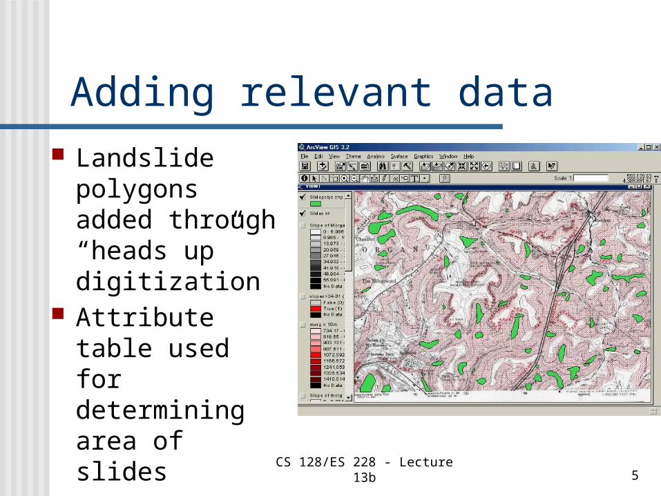
CS 128/ES 228 - Lecture 13b 5
Adding relevant data Landslide
polygons added through “heads up” digitization
Attribute table used for determining area of slides

CS 128/ES 228 - Lecture 13b 6
Hypothesis
Slope has something to do with the prevelance of landslides
Literature suggests that 35 degrees is a critical value

CS 128/ES 228 - Lecture 13b 7
Getting Slope Information ArcMap’s Spatial Analysis was
applied to DEMs
Slope shown by color – degree values in Table of Contents

CS 128/ES 228 - Lecture 13b 8
30 meter resolution

CS 128/ES 228 - Lecture 13b 9
10 meter resolution

CS 128/ES 228 - Lecture 13b 10
More interesting analysis Intersecting slope map with slide
polygons layer allows us to determine average slope of a slide
Determined to be 34.81 degrees
CS 128/ES 228 - Lecture 13b 11
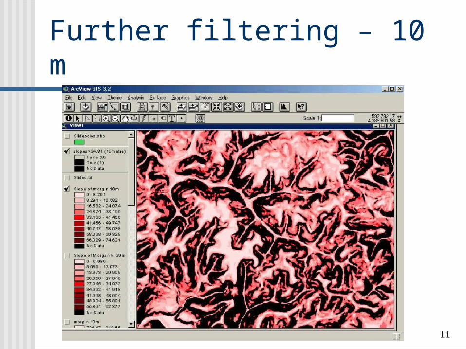
Further filtering – 10 m

CS 128/ES 228 - Lecture 13b 12
Further filtering – 30 m

CS 128/ES 228 - Lecture 13b 13
Final product
What layers should be included?
How should they be arranged?

CS 128/ES 228 - Lecture 13b 14
A Useful Map?
CS 128/ES 228 - Lecture 13b 15
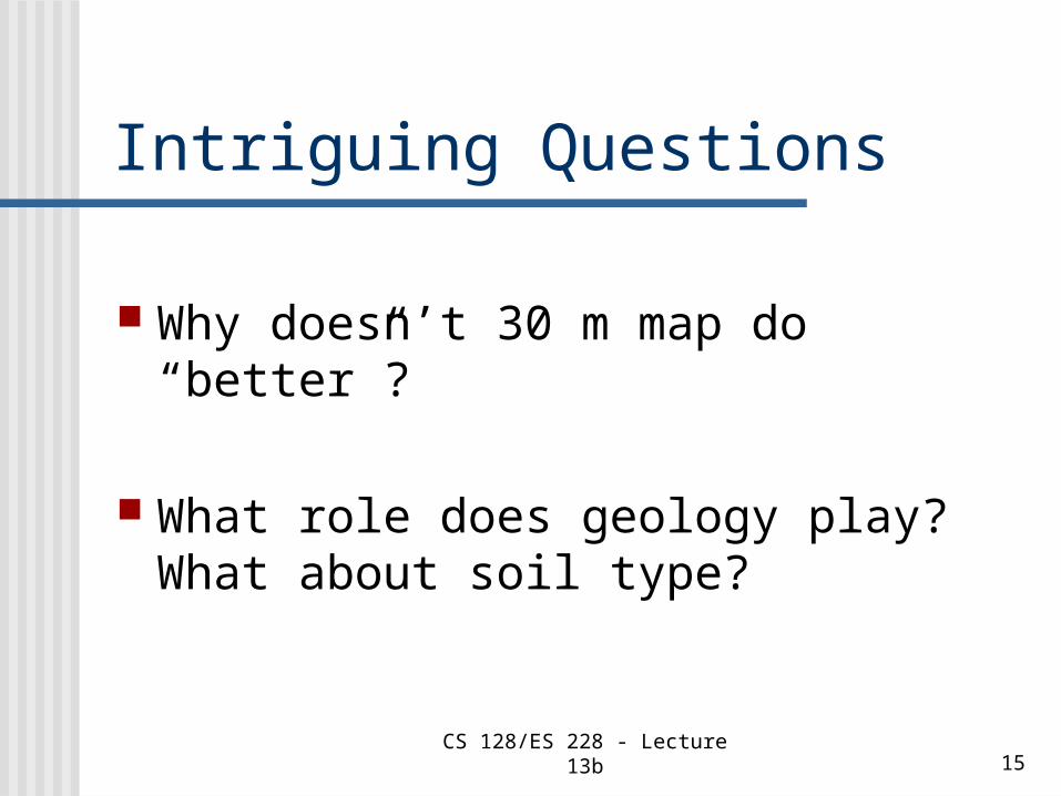
Intriguing Questions
Why doesn’t 30 m map do “better”?
What role does geology play? What about soil type?

CS 128/ES 228 - Lecture 13b 16
BIBLIOGRAPHY All figures (and details about the study)
were taken from:
http://www.nrac.wvu.edu/rm493-591/fall2001/students/kish/ The%20Use%20of%2010%20Meter%20and%2030%20Meter%20Digital%20Elevation%20Models%20for%20Determining%20Areas%20Susceptible%20to%20Landsliding%20in%20the%20Morgantown%20N.htm
Alas, as with so much data on the Internet, this has proven transitory. A Google search will find this URL for you, but the only remaining record is a Master’s thesis on the subject which is only available from on the WVU campus.
Related Documents