Copyright 2010, The World Bank Group. All Rights Reserved. Managing Mapping Operations Section B 1

Welcome message from author
This document is posted to help you gain knowledge. Please leave a comment to let me know what you think about it! Share it to your friends and learn new things together.
Transcript
Copyright 2010, The World Bank Group. All Rights Reserved.
Managing Mapping Operations
Section B
1

Copyright 2010, The World Bank Group. All Rights Reserved.
Mapping for Statistical Projects
• Base maps should be updated regularly as they become less accurate over time
• Full mapping update work requires 2-3 years time, depending on country conditions
• Mapping unit should be part of data processing
• Mapping data provides estimates for sampling, staffing, and procurement
2

Copyright 2010, The World Bank Group. All Rights Reserved.
Mapping Problem Areas
• Physical environment problems
• Nomadic areas
• Rapidly growing areas
• Undefined or disputed boundaries
3

Copyright 2010, The World Bank Group. All Rights Reserved.
Possible Solutions
• Use smaller scale maps and show all roads and tracks
• Aerial photography
• Map nomadic routes
• Sketch map rapid growth areas
• Use statistical entities
4
Copyright 2010, The World Bank Group. All Rights Reserved.
Mapping Technology
• Drafting - drawing maps using drafting tools such as easels, templates, and compasses, make scale drawings of roads, airfields, buildings, and other features incorporated into maps.
• GIS – a system of hardware and software used for storage, retrieval, mapping, and analysis of geographic data.
5

Copyright 2010, The World Bank Group. All Rights Reserved.
Commonalities
• GIS and Drafting both require field work for data collection
• Require technical staff for drafting or digitizing
• Adequate work space for specialized equipment
• Access to map archives (digital and print)
6

Copyright 2010, The World Bank Group. All Rights Reserved.
Benefits of GIS
• Better planning of government services
• Analysis of poverty
• Emergency planning
• Food security
7

Copyright 2010, The World Bank Group. All Rights Reserved.
GIS Costs
Considerations for adoption of GIS:
– Skilled staff
– Purchase appropriate equipment and software
– Ensure proper infrastructure
– Maintenance contracts
– Successful pilot project
8

Copyright 2010, The World Bank Group. All Rights Reserved.
Mapping Quality Control
Mapping outputs are largely human rather than machine products, thus subject to error
• Evaluation of maps
• Verification of mapping operation outputs
9

Copyright 2010, The World Bank Group. All Rights Reserved.
Evaluation of Maps
During inventory and acquisition of maps, check:
a. Coverage
b. Scale
c. Size
d. Detail
e. Date
f. Reproducibility
g. Usefulness and accuracy
10

Copyright 2010, The World Bank Group. All Rights Reserved.
Quality of Mapping Operations
• Select people with particular skills, education or experience for mapping operation
• Establish continual training program
• Monitor staff productivity and error rates
• Review work to catch errors
11
Copyright 2010, The World Bank Group. All Rights Reserved.
Verification of Mapping Outputs
Verification of the products of each step of the mapping operation is a review of:
a. Map compilation
b. Drafting
c. Reproduction
d. Delineation
e. Identification
f. Publication
12
Copyright 2010, The World Bank Group. All Rights Reserved.
Operational Control
The control of materials to and from the field throughout operations. Operational control system must:
1. Determine location of materials at all times
2. Show progress of work
3. Make decisions on materials
4. Identify and predict problems
13
Copyright 2010, The World Bank Group. All Rights Reserved.
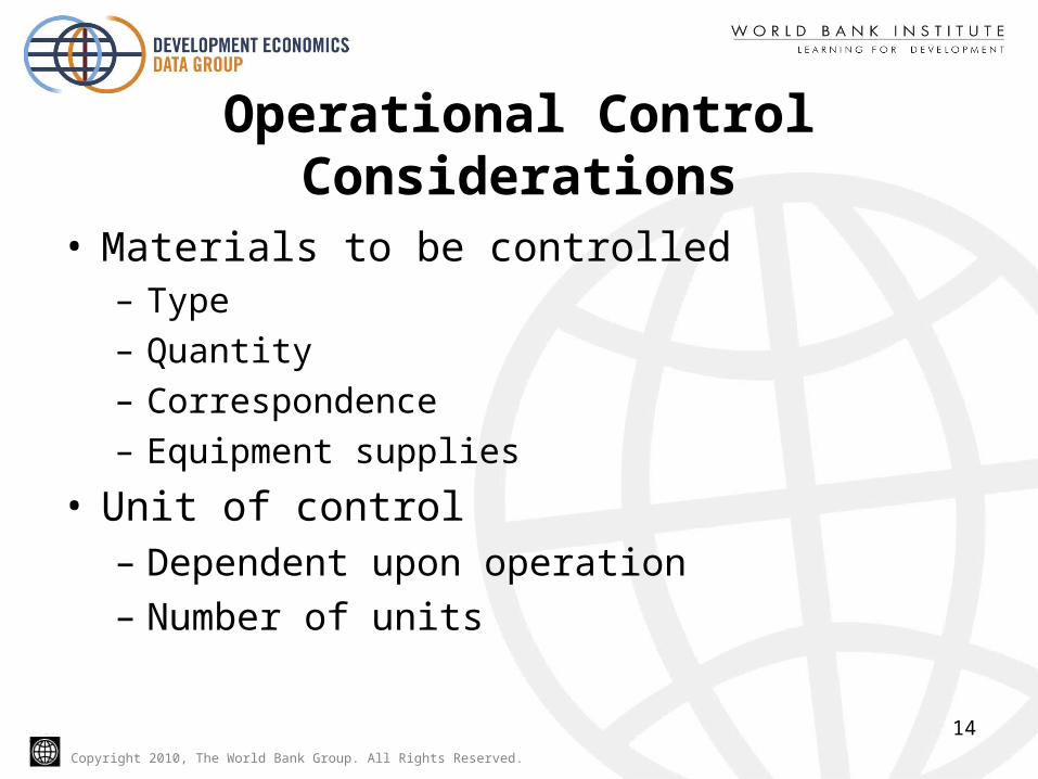
Operational Control Considerations
• Materials to be controlled– Type– Quantity– Correspondence– Equipment supplies
• Unit of control– Dependent upon operation
– Number of units
14
Copyright 2010, The World Bank Group. All Rights Reserved.
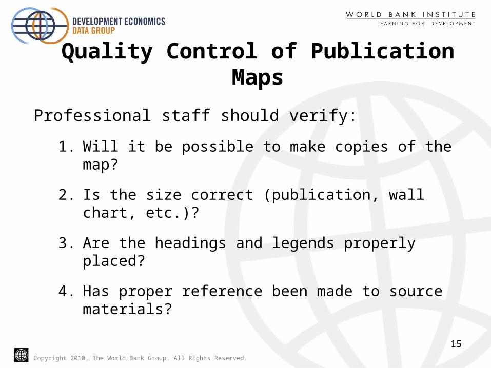
Quality Control of Publication Maps
Professional staff should verify:
1. Will it be possible to make copies of the map?
2. Is the size correct (publication, wall chart, etc.)?
3. Are the headings and legends properly placed?
4. Has proper reference been made to source materials?
15
Copyright 2010, The World Bank Group. All Rights Reserved.
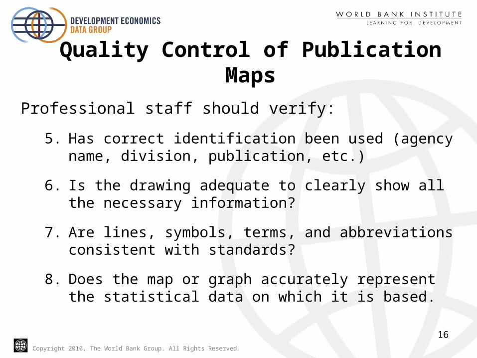
Quality Control of Publication Maps
Professional staff should verify:
5. Has correct identification been used (agency name, division, publication, etc.)
6. Is the drawing adequate to clearly show all the necessary information?
7. Are lines, symbols, terms, and abbreviations consistent with standards?
8. Does the map or graph accurately represent the statistical data on which it is based.
16
Copyright 2010, The World Bank Group. All Rights Reserved.
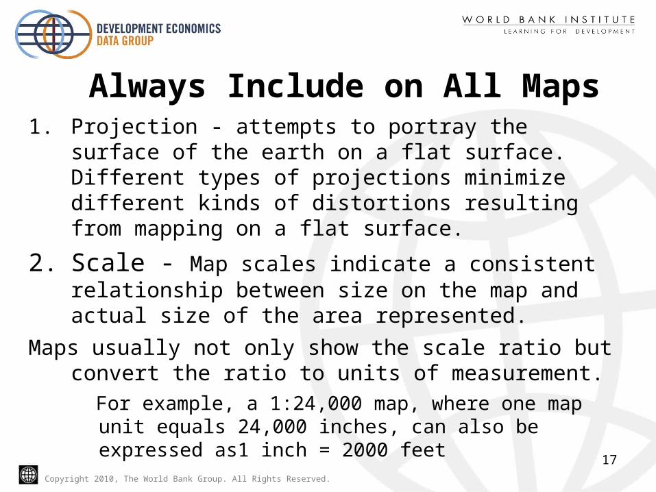
Always Include on All Maps1. Projection - attempts to portray the surface of the earth
on a flat surface. Different types of projections minimize different kinds of distortions resulting from mapping on a flat surface.
2. Scale - Map scales indicate a consistent relationship between size on the map and actual size of the area represented.
Maps usually not only show the scale ratio but convert the ratio to units of measurement.
For example, a 1:24,000 map, where one map unit equals 24,000 inches, can also be expressed as1 inch = 2000 feet
17
Copyright 2010, The World Bank Group. All Rights Reserved.
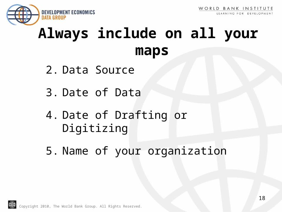
Always include on all your maps
2. Data Source
3. Date of Data
4. Date of Drafting or Digitizing
5. Name of your organization
18

Copyright 2010, The World Bank Group. All Rights Reserved.
Educational Outreach
• Include mapping unit in data user meetings
• Use presentations to show GIS or thematic map capabilities
• Develop education partnerships
• Include mapping in presentations and dissemination
19
Copyright 2010, The World Bank Group. All Rights Reserved.
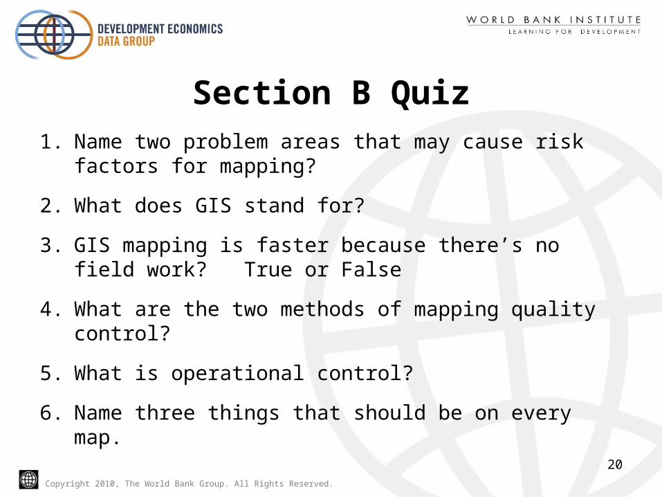
Section B Quiz1. Name two problem areas that may cause risk factors
for mapping?
2. What does GIS stand for?
3. GIS mapping is faster because there’s no field work? True or False
4. What are the two methods of mapping quality control?
5. What is operational control?
6. Name three things that should be on every map.
20
Related Documents