Welcome message from author
This document is posted to help you gain knowledge. Please leave a comment to let me know what you think about it! Share it to your friends and learn new things together.
Transcript
Agne
Balonso
Guitierrez
Tadena
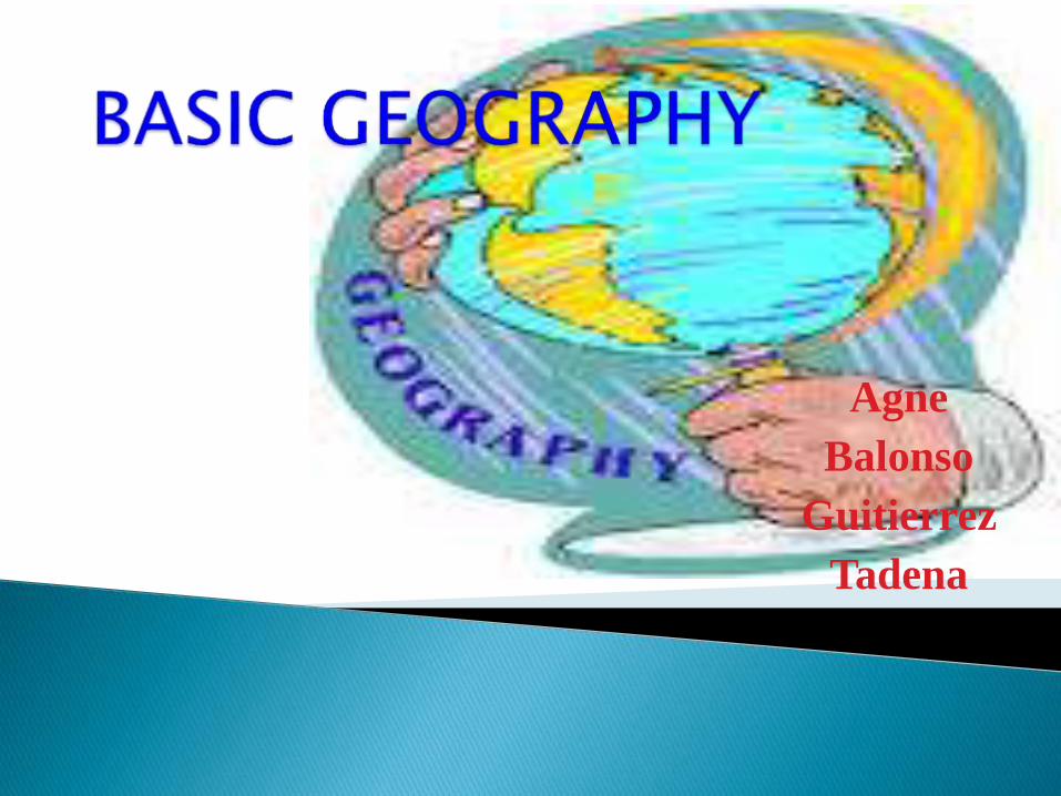
Geography
(from Greek geographia, “geo” means Earth and graphein means “to write about or to describe” "earth description" is the science that studies the lands, the features, the inhabitants, and the phenomena of the Earth. A literal translation would be "to describe or write about the Earth".
Geography is also the study of the Earth as the home of mankind.
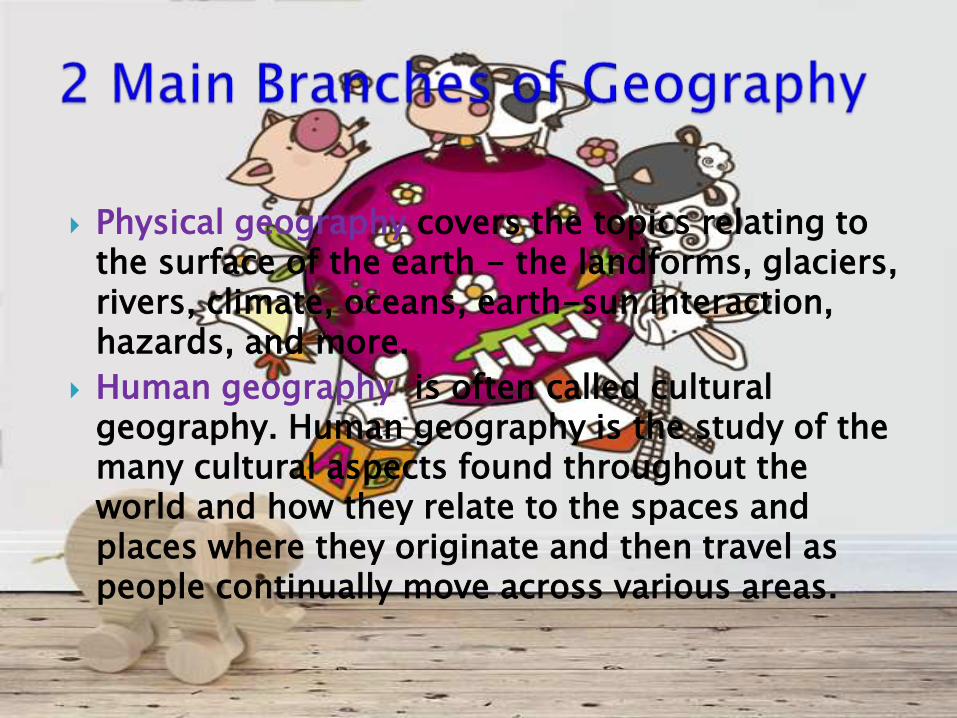
Physical geography covers the topics relating to the surface of the earth - the landforms, glaciers, rivers, climate, oceans, earth-sun interaction, hazards, and more.
Human geography is often called cultural geography. Human geography is the study of the many cultural aspects found throughout the world and how they relate to the spaces and places where they originate and then travel as people continually move across various areas.
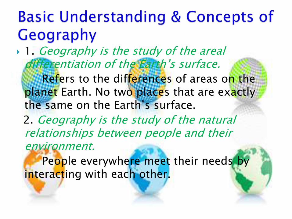
1. Geography is the study of the areal differentiation of the Earth’s surface.
Refers to the differences of areas on the planet Earth. No two places that are exactly the same on the Earth’s surface.
2. Geography is the study of the natural relationships between people and their environment.
People everywhere meet their needs by interacting with each other.
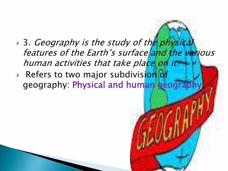
3. Geography is the study of the physical features of the Earth’s surface and the various human activities that take place on it.
Refers to two major subdivision of geography: Physical and human geography.
Natural Sciences:
1.Geology is the study of the Earth, its processes, its materials, its history, and its effect on humans and life in general. Rocks, crystals, mountains, earthquakes, volcanoes, rivers, glaciers, landslides, floods, and many other subjects fall into this broad field of research.
2. Biology is a natural science concerned with the study of life and living organisms, including their structure, function, growth, evolution, distribution, and taxonomy is the science of naming, describing and classifying organisms and includes all plants, animals and microorganisms of the world.
3.Astronomy is a natural science that is the study of celestial objects (such as moons, planets, stars, nebulae ( latin word cloud) and galaxies), the physics, chemistry,mathematics, and evolution of such objects, and phenomena that originate outside the atmosphere of Earth, including supernovae explosions, gamma ray bursts, and cosmic background radiation. A related but distinct subject, cosmology, is concerned with studying the universe as a whole
4.Meteorology is the scientific study of the atmosphere that focuses on weather processes and forecasting.
5.Pedalogy the method and practice of teaching, especially as an academic subject or theoretical concept.
"the relationship between applied linguistics and language pedagogy“
6.Oceanography the branch of science that deals with the physical and biological properties and phenomena of the sea.
1. History the study of past events, particularly in human affairs. The whole series of past events connected with a particular person or thing.
2. Economics the branch of knowledge concerned with the production, consumption, and transfer of wealth.
the condition of a region or group as regards material prosperity.
3. Political Science the branch of knowledge that deals with the state and systems of government; the scientific analysis of political activity and behavior.
4. Anthropology the study of humankind, in particular:.
5. Sociology the study of the development, structure, and functioning of human society.
6.Psychology the scientific study of the human mind and its functions, especially those affecting behavior in a given context.
the mental characteristics or attitude of a person or group.
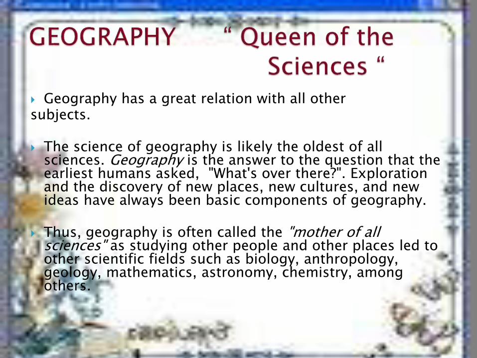
Geography has a great relation with all othersubjects.
The science of geography is likely the oldest of all sciences. Geography is the answer to the question that the earliest humans asked, "What's over there?". Exploration and the discovery of new places, new cultures, and new ideas have always been basic components of geography.
Thus, geography is often called the "mother of all sciences" as studying other people and other places led to other scientific fields such as biology, anthropology, geology, mathematics, astronomy, chemistry, among others.
Geography occupies a unique position in the field knowledge due to the richness of its content. It integrates and provides the connecting links between and among various disciplines that has something to do with the earth’s surface.
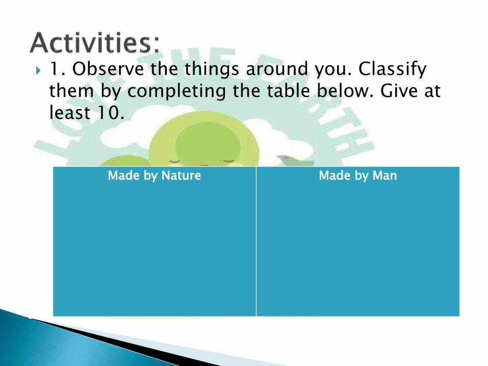
1. Observe the things around you. Classify them by completing the table below. Give at least 10.
Made by Nature Made by Man
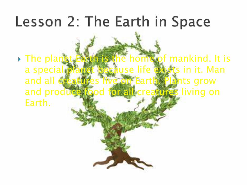
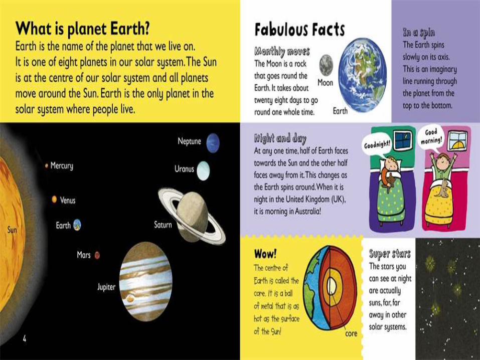
The planet Earth is the home of mankind. It is a special planet because life exists in it. Man and all creatures live on Earth. Plants grow and produce food for all creatures living on Earth.
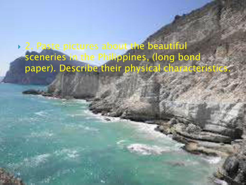
2. Paste pictures about the beautiful sceneries in the Philippines, (long bond paper). Describe their physical characteristics.
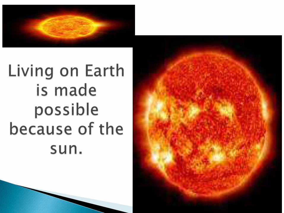
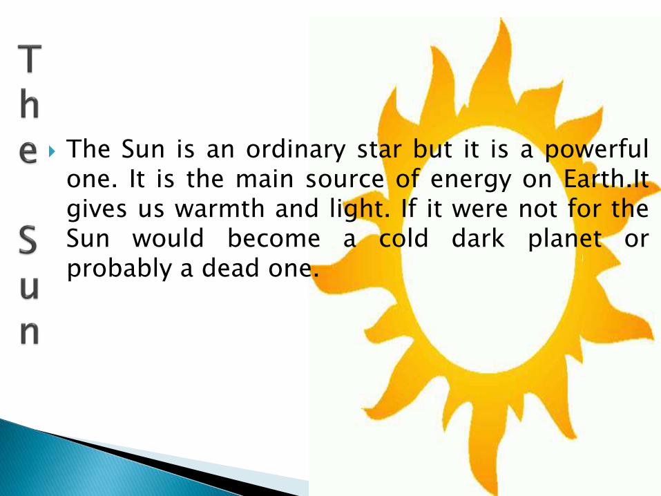
The Sun is an ordinary star but it is a powerfulone. It is the main source of energy on Earth.Itgives us warmth and light. If it were not for theSun would become a cold dark planet orprobably a dead one.

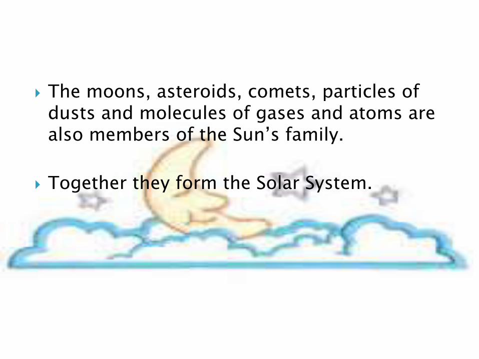
The moons, asteroids, comets, particles of dusts and molecules of gases and atoms are also members of the Sun’s family.
Together they form the Solar System.
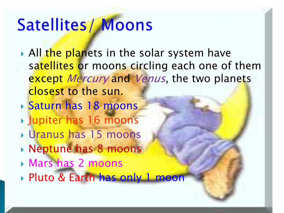
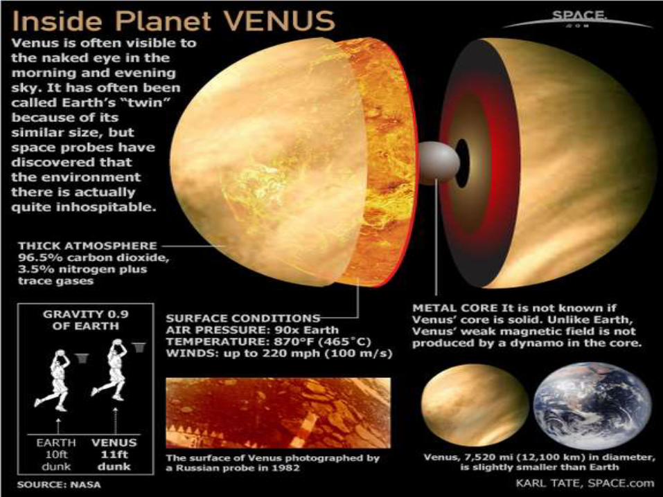
All the planets in the solar system have satellites or moons circling each one of them except Mercury and Venus, the two planets closest to the sun.
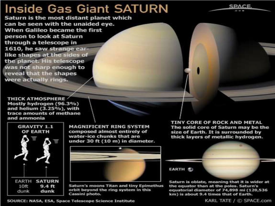
Saturn has 18 moons
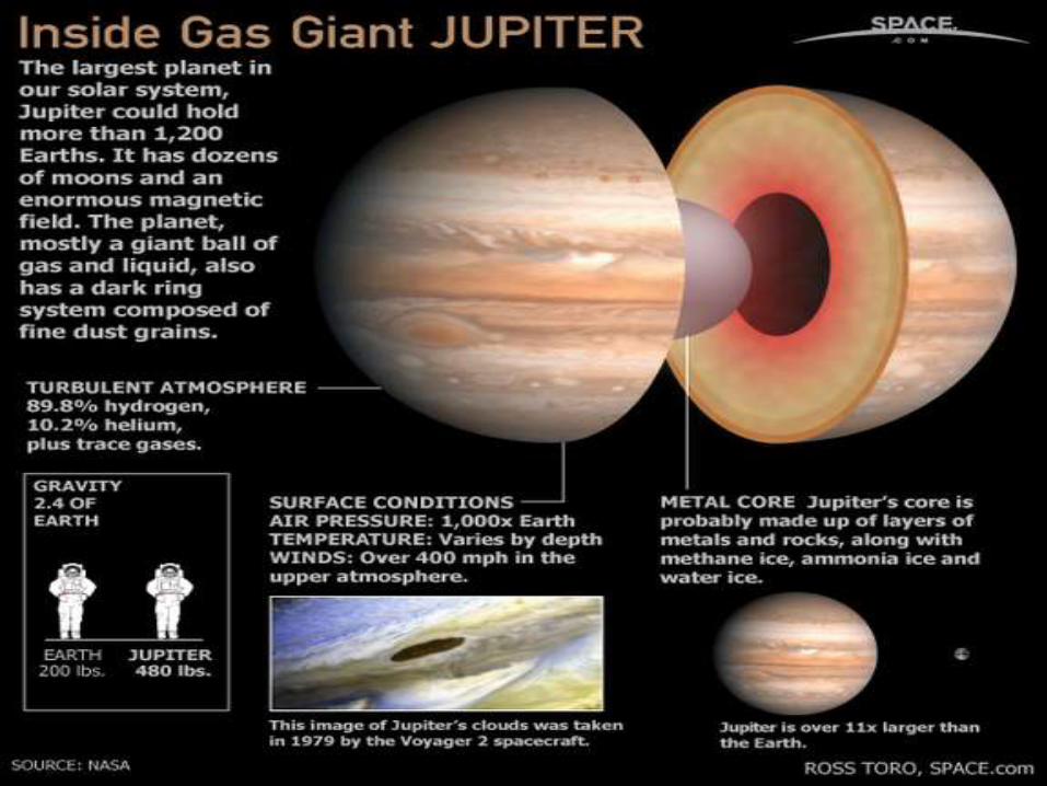
Jupiter has 16 moons
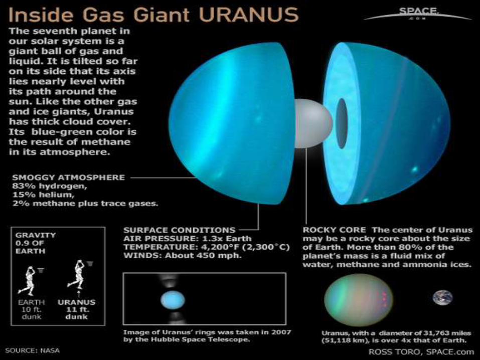
Uranus has 15 moons
Neptune has 8 moons
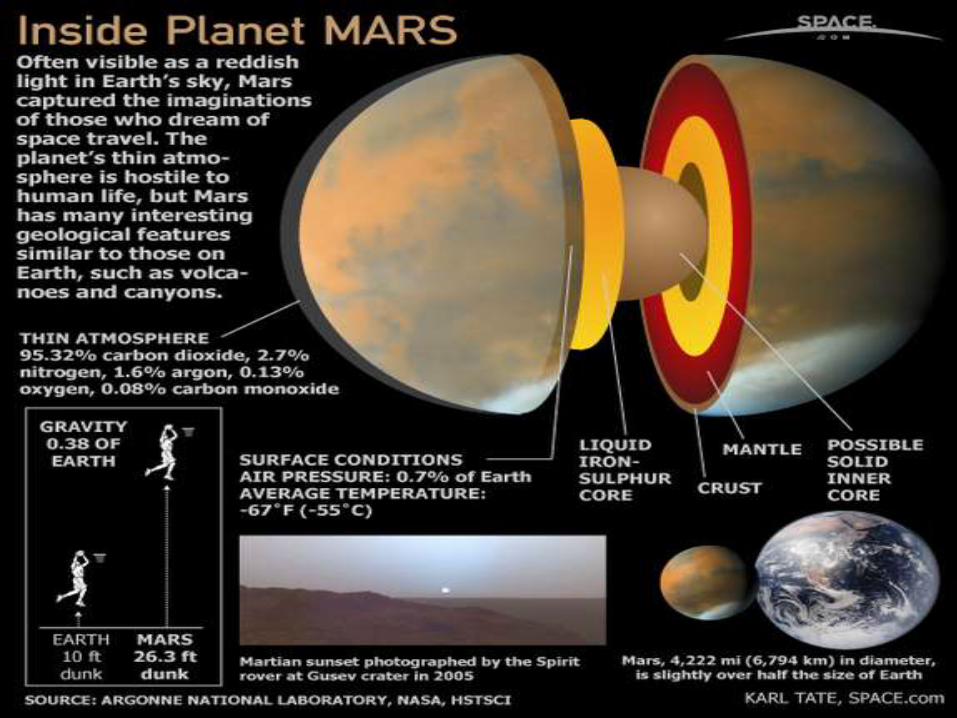
Mars has 2 moons
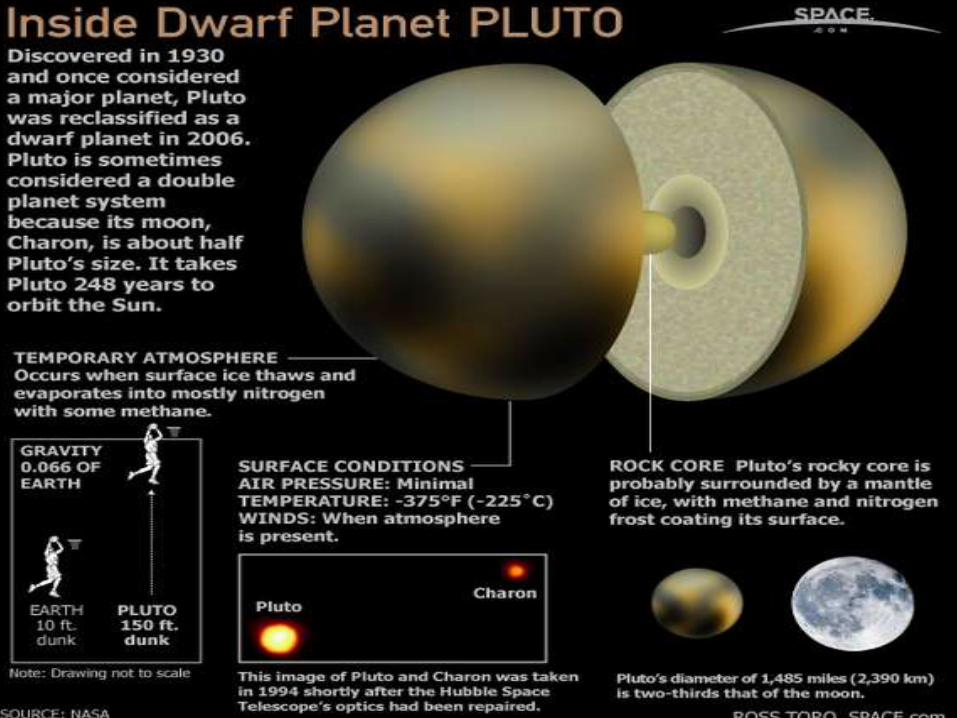
Pluto & Earth has only 1 moon

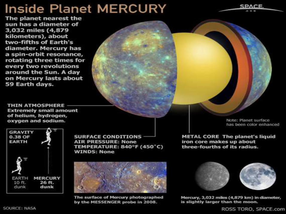
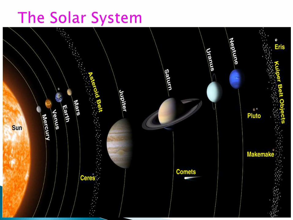
Inner Planets :
1. Mercury
2. Venus
3.Earth
4. Mars
These are the dense and solid planets. They are called Terrestrial Planets.

Outer Planets:
Jupiter
Saturn
Uranus
Neptune
Pluto
These are the planets that are gaseous. They have deep atmospheres that thicken into hot liquid until they reach the core. They are also called Jovian Planets.
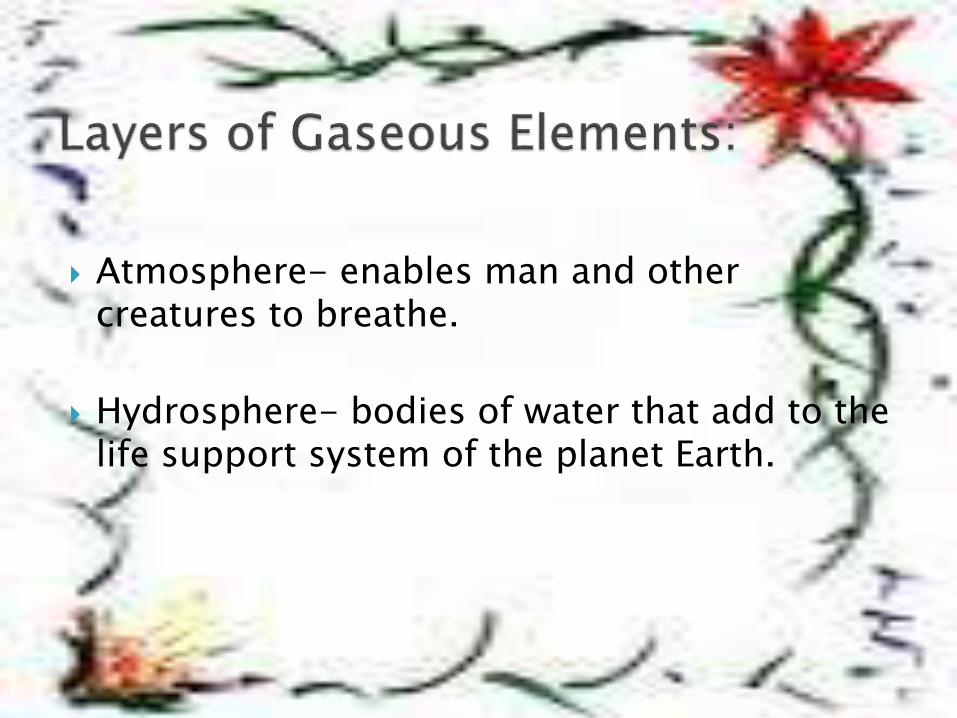
Atmosphere- enables man and other creatures to breathe.
Hydrosphere- bodies of water that add to the life support system of the planet Earth.
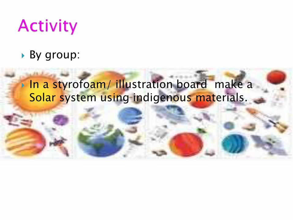
By group:
In a styrofoam/ illustration board make a Solar system using indigenous materials.
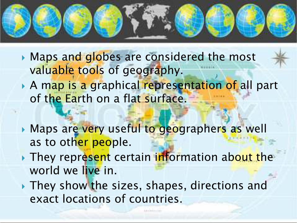
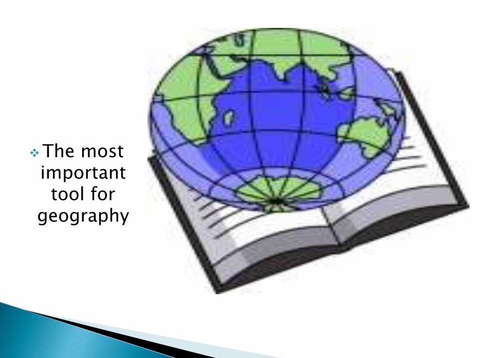
Maps and globes are considered the most valuable tools of geography.
A map is a graphical representation of all part of the Earth on a flat surface.
Maps are very useful to geographers as well as to other people.
They represent certain information about the world we live in.
They show the sizes, shapes, directions and exact locations of countries.
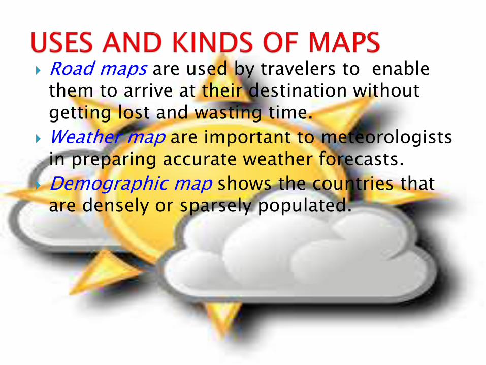
Road maps are used by travelers to enable them to arrive at their destination without getting lost and wasting time.
Weather map are important to meteorologists in preparing accurate weather forecasts.
Demographic map shows the countries that are densely or sparsely populated.
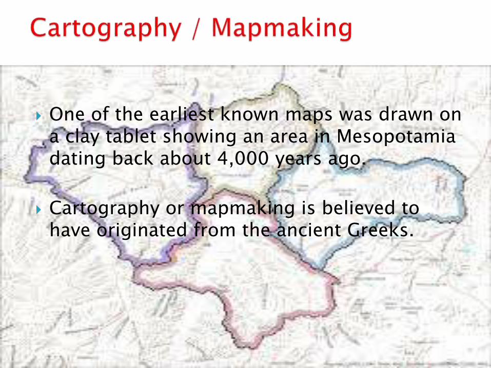
One of the earliest known maps was drawn on a clay tablet showing an area in Mesopotamia dating back about 4,000 years ago.
Cartography or mapmaking is believed to have originated from the ancient Greeks.
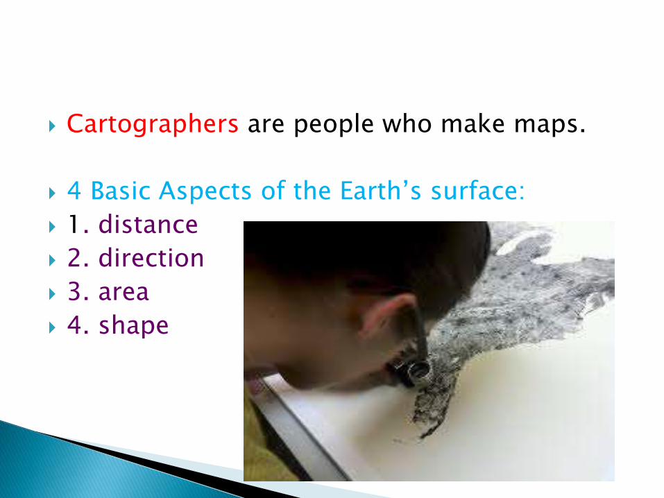
Cartographers are people who make maps.
4 Basic Aspects of the Earth’s surface:
1. distance
2. direction
3. area
4. shape
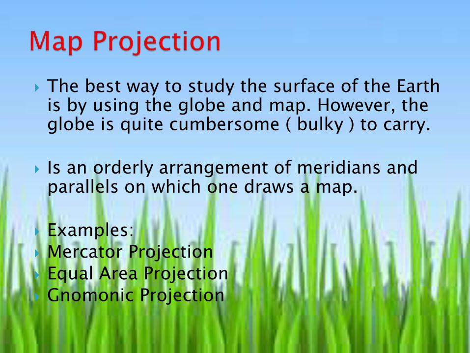
The best way to study the surface of the Earth is by using the globe and map. However, the globe is quite cumbersome ( bulky ) to carry.
Is an orderly arrangement of meridians and parallels on which one draws a map.
Examples: Mercator Projection Equal Area Projection Gnomonic Projection
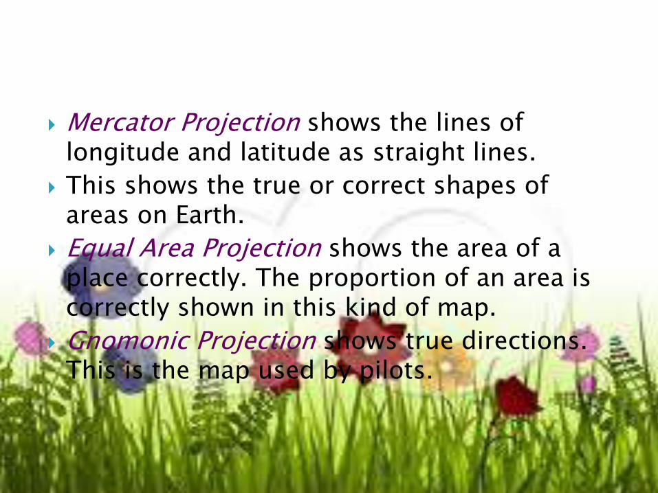
Mercator Projection shows the lines of longitude and latitude as straight lines.
This shows the true or correct shapes of areas on Earth.
Equal Area Projection shows the area of a place correctly. The proportion of an area is correctly shown in this kind of map.
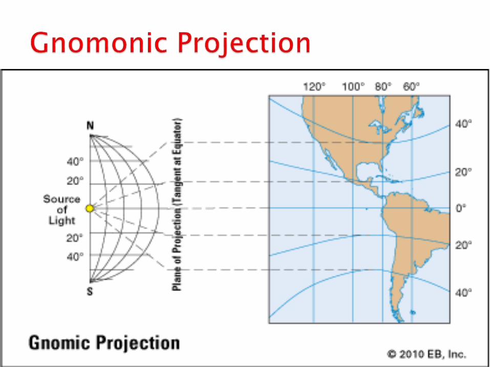
Gnomonic Projection shows true directions. This is the map used by pilots.
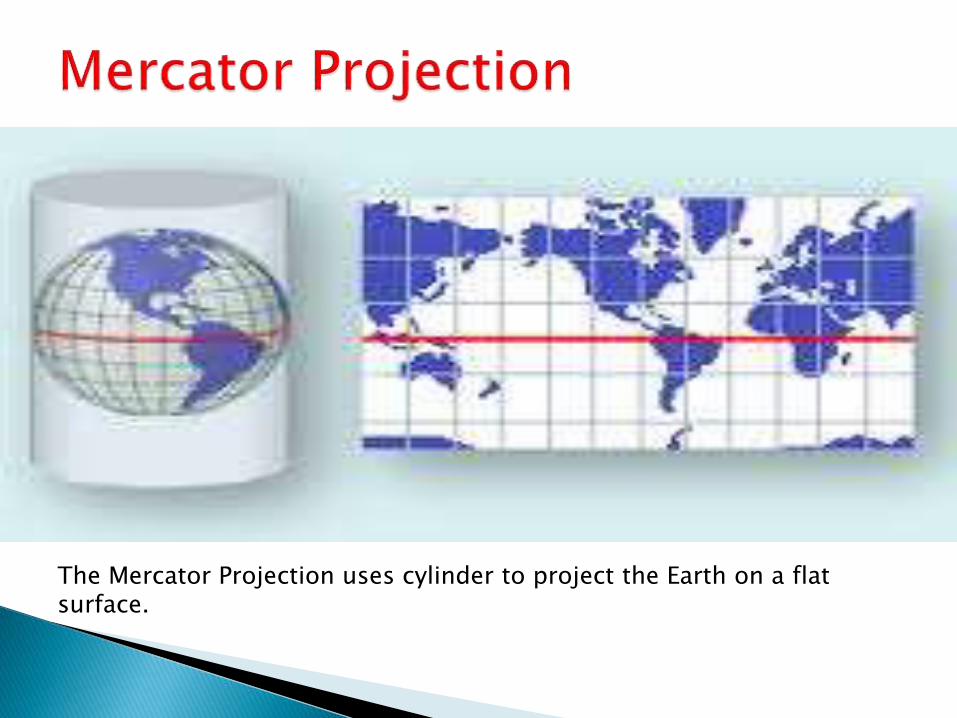
The Mercator Projection uses cylinder to project the Earth on a flat surface.
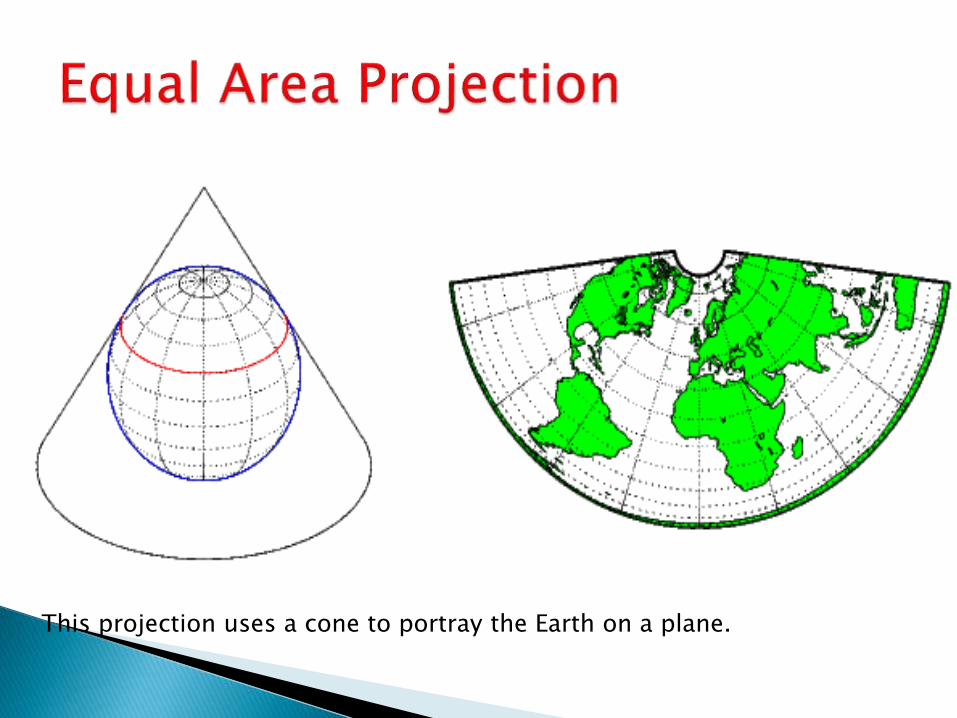
This projection uses a cone to portray the Earth on a plane.
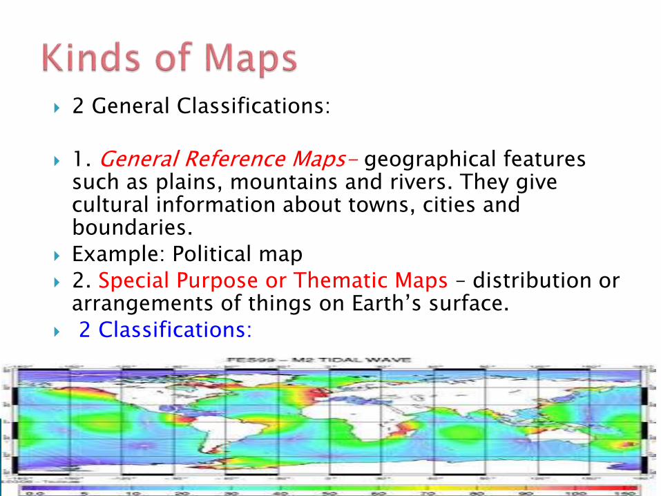
2 General Classifications:
1. General Reference Maps- geographical features such as plains, mountains and rivers. They give cultural information about towns, cities and boundaries.
Example: Political map
2. Special Purpose or Thematic Maps – distribution or arrangements of things on Earth’s surface.
2 Classifications:
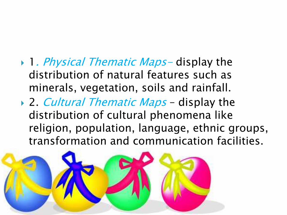
1. Physical Thematic Maps- display the distribution of natural features such as minerals, vegetation, soils and rainfall.
2. Cultural Thematic Maps – display the distribution of cultural phenomena like religion, population, language, ethnic groups, transformation and communication facilities.
1.Title
-suggests or tells what the map contains or what kind of map we are looking at.
Example:
Political map or Physical map of the world
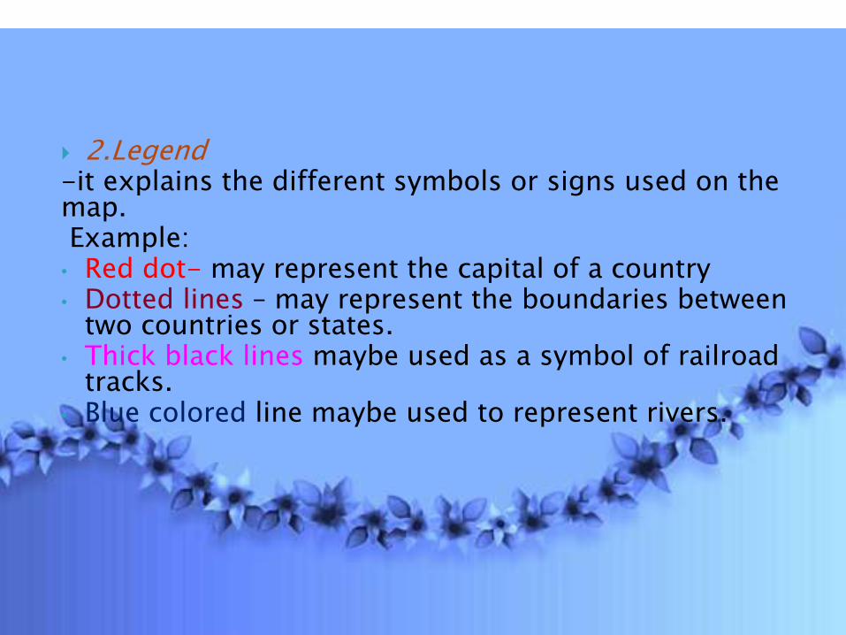
2.Legend-it explains the different symbols or signs used on the map.Example:• Red dot- may represent the capital of a country• Dotted lines – may represent the boundaries between
two countries or states. • Thick black lines maybe used as a symbol of railroad
tracks.• Blue colored line maybe used to represent rivers.
3.Scale
-Shows the relationship between the size or distance on the map and the corresponding size or distances on the Earth.
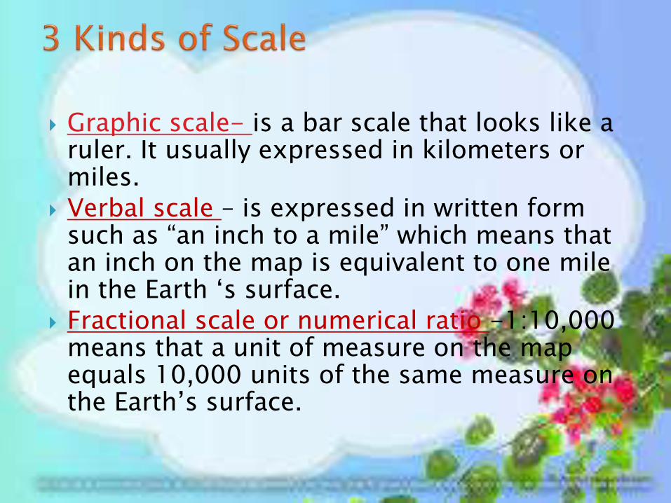
Graphic scale- is a bar scale that looks like a ruler. It usually expressed in kilometers or miles.
Verbal scale – is expressed in written form such as “an inch to a mile” which means that an inch on the map is equivalent to one mile in the Earth ‘s surface.
Fractional scale or numerical ratio -1:10,000 means that a unit of measure on the map equals 10,000 units of the same measure on the Earth’s surface.
4. Direction indicates the orientation of the map. All maps should be oriented to the North. This is why the arrow showing direction toward which the map is oriented points to the North.
5. Longitude and Latitude show the geographical extent of the area covered by the map.
The most important tool for
geography
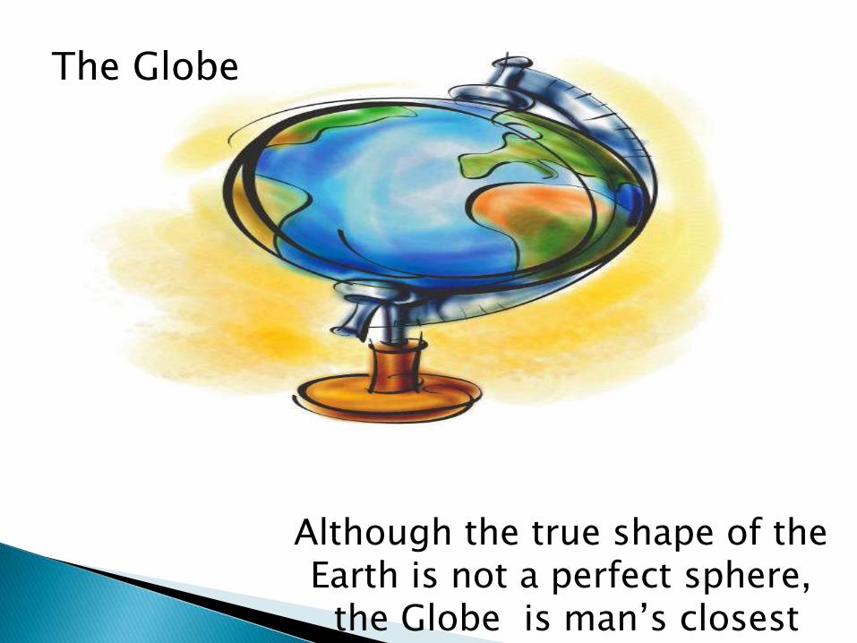
Although the true shape of the Earth is not a perfect sphere,
the Globe is man’s closest approximation of the Earth
The Globe
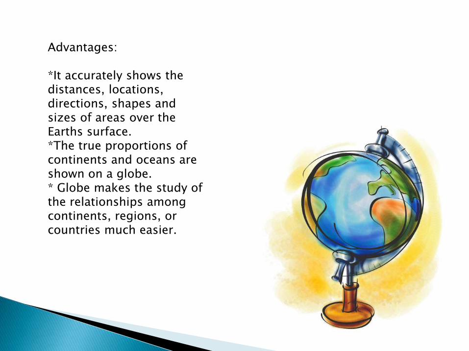
Advantages:
*It accurately shows the distances, locations, directions, shapes and sizes of areas over the Earths surface.*The true proportions of continents and oceans are shown on a globe.* Globe makes the study of the relationships among continents, regions, or countries much easier.
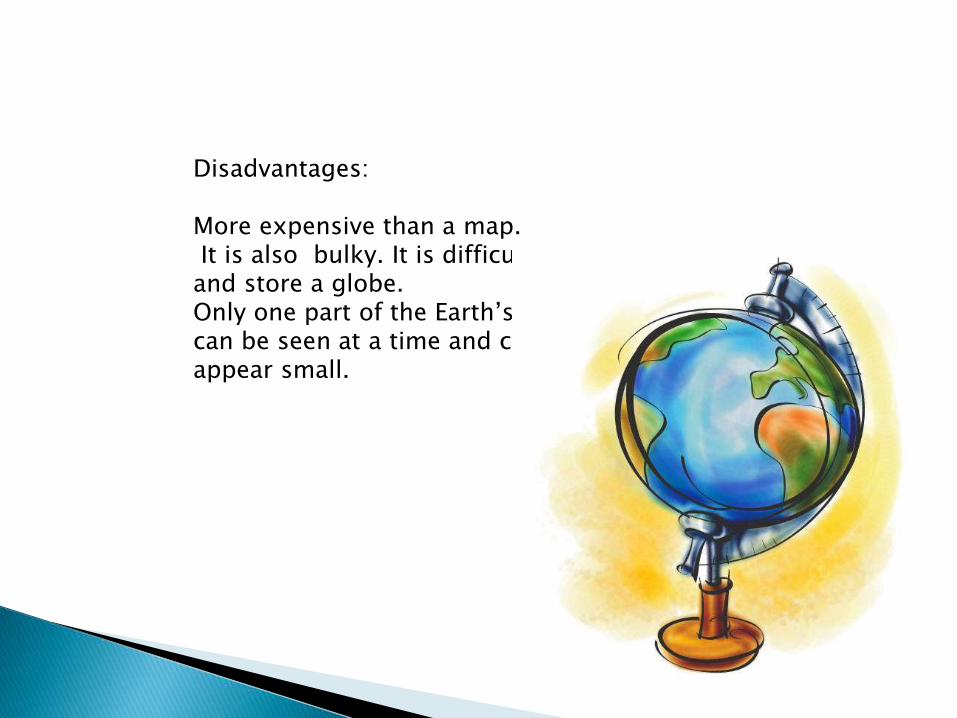
Disadvantages:
More expensive than a map.It is also bulky. It is difficult to carry
and store a globe.Only one part of the Earth’s surface can be seen at a time and countries appear small.
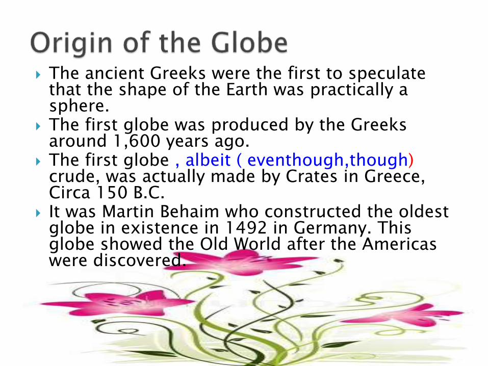
The ancient Greeks were the first to speculate that the shape of the Earth was practically a sphere.
The first globe was produced by the Greeks around 1,600 years ago.
The first globe , albeit ( eventhough,though) crude, was actually made by Crates in Greece, Circa 150 B.C.
It was Martin Behaim who constructed the oldest globe in existence in 1492 in Germany. This globe showed the Old World after the Americas were discovered.
Draw the World Map in a long bond paper.
Lines on the Globe
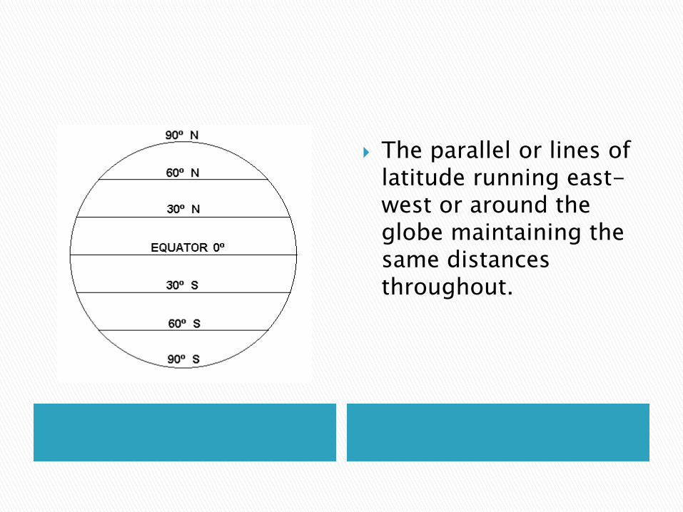
The parallel or lines of latitude running east-west or around the globe maintaining the same distances throughout.
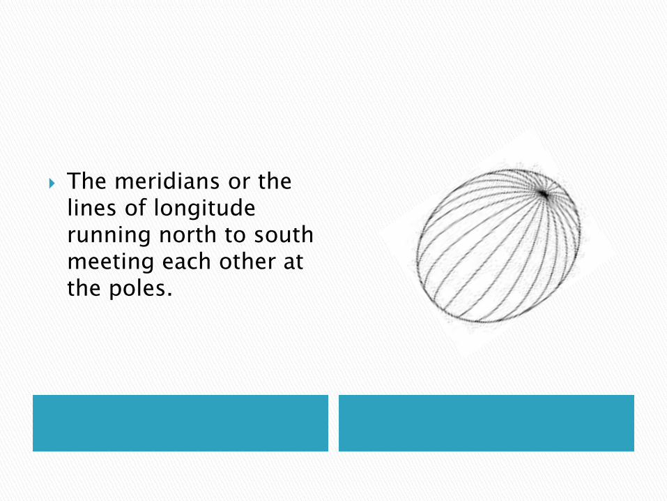
The meridians or the lines of longitude running north to south meeting each other at the poles.
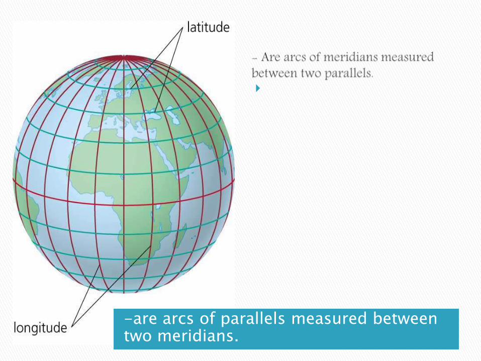
-are arcs of parallels measured between two meridians.
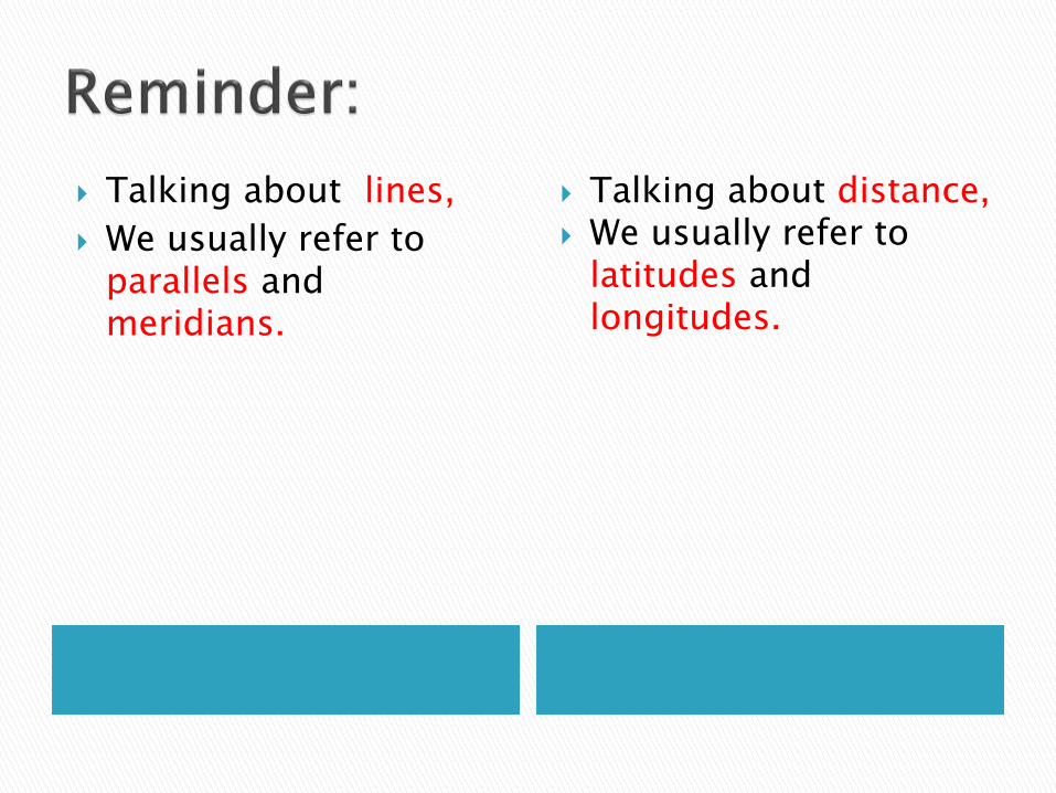
Talking about lines,
We usually refer to parallels and meridians.
Talking about distance, We usually refer to
latitudes and longitudes.
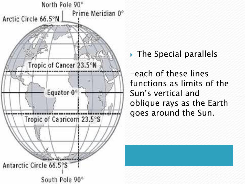
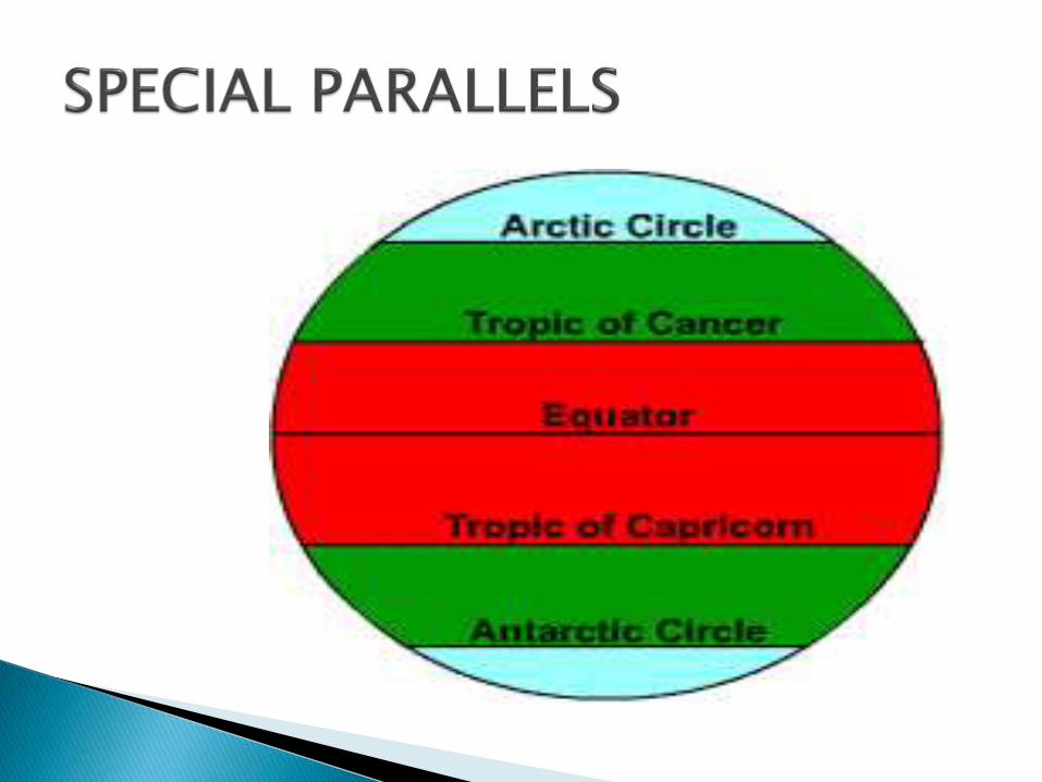
The Special parallels
-each of these lines functions as limits of the Sun’s vertical and oblique rays as the Earth goes around the Sun.
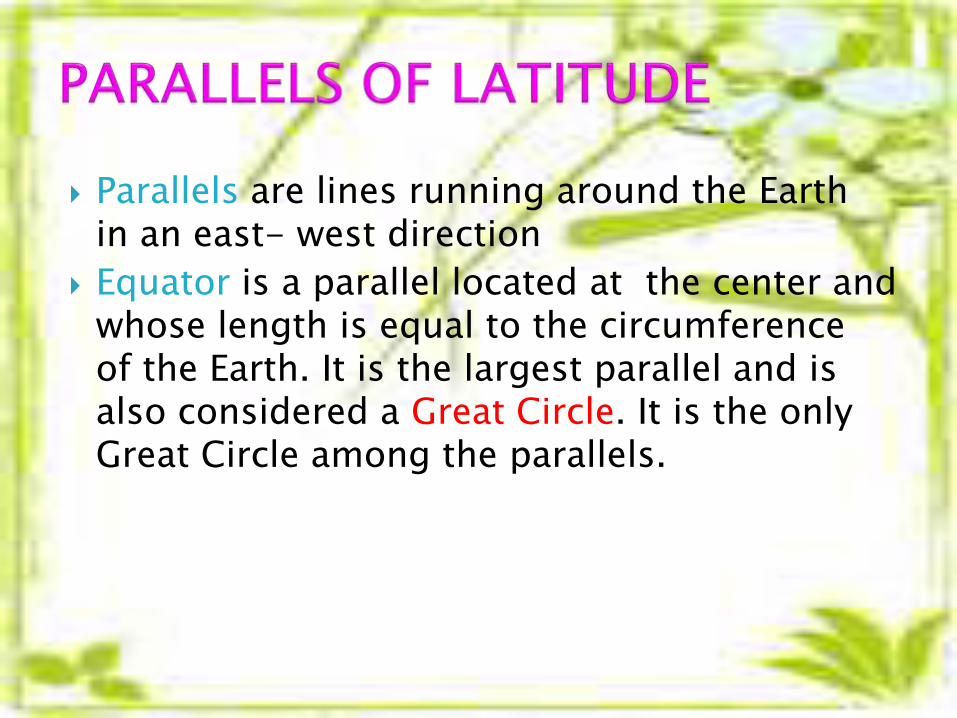
Parallels are lines running around the Earth in an east- west direction
Equator is a parallel located at the center and whose length is equal to the circumference of the Earth. It is the largest parallel and is also considered a Great Circle. It is the only Great Circle among the parallels.
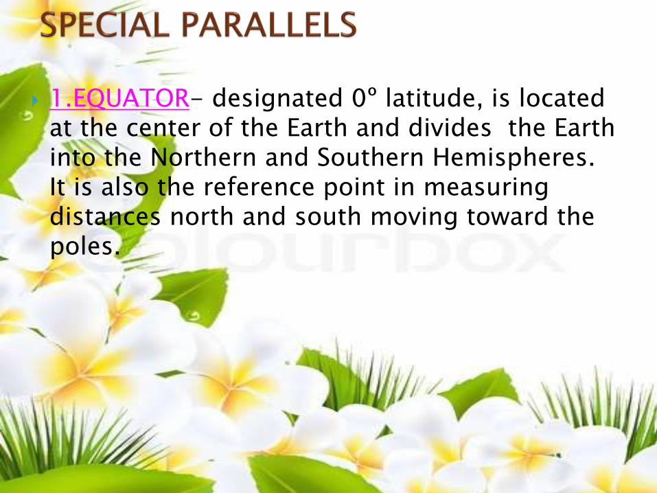
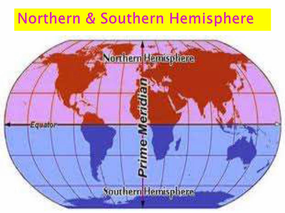
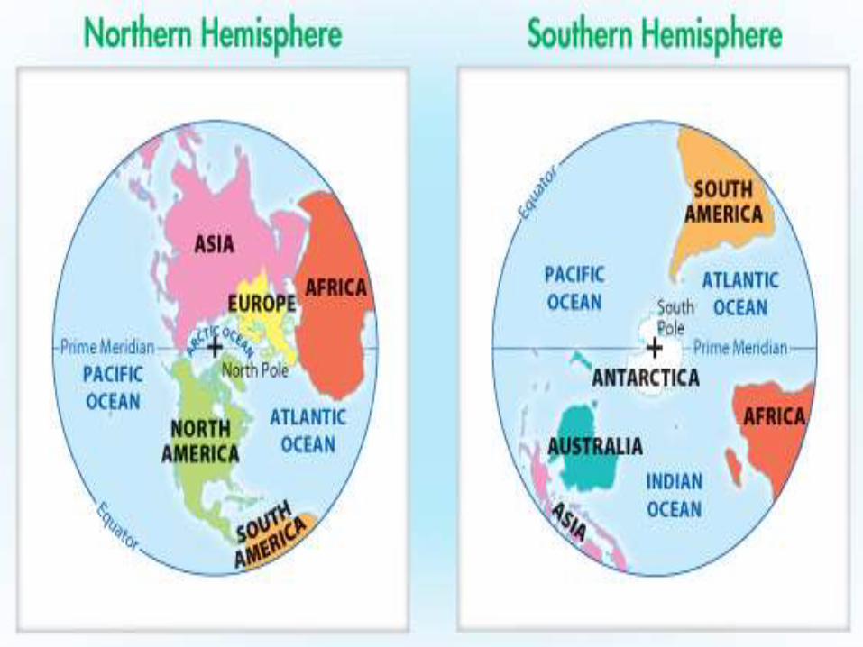
1.EQUATOR- designated 0º latitude, is located at the center of the Earth and divides the Earth into the Northern and Southern Hemispheres. It is also the reference point in measuring distances north and south moving toward the poles.
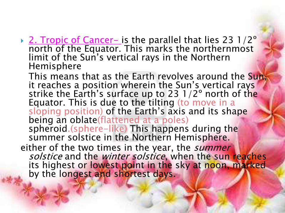
2. Tropic of Cancer- is the parallel that lies 23 1/2º north of the Equator. This marks the northernmost limit of the Sun’s vertical rays in the Northern HemisphereThis means that as the Earth revolves around the Sun, it reaches a position wherein the Sun’s vertical rays strike the Earth’s surface up to 23 1/2º north of the Equator. This is due to the tilting (to move in a sloping position) of the Earth’s axis and its shape being an oblate(flattened at a poles) spheroid.(sphere-like) This happens during the summer solstice in the Northern Hemisphere.
either of the two times in the year, the summer solstice and the winter solstice, when the sun reaches its highest or lowest point in the sky at noon, marked by the longest and shortest days.

SOLSTICE
either of the two times in the year, the summer solstice and the winter solstice, when the sun reaches its highest or lowest point in the sky at noon, marked by the longest and shortest days
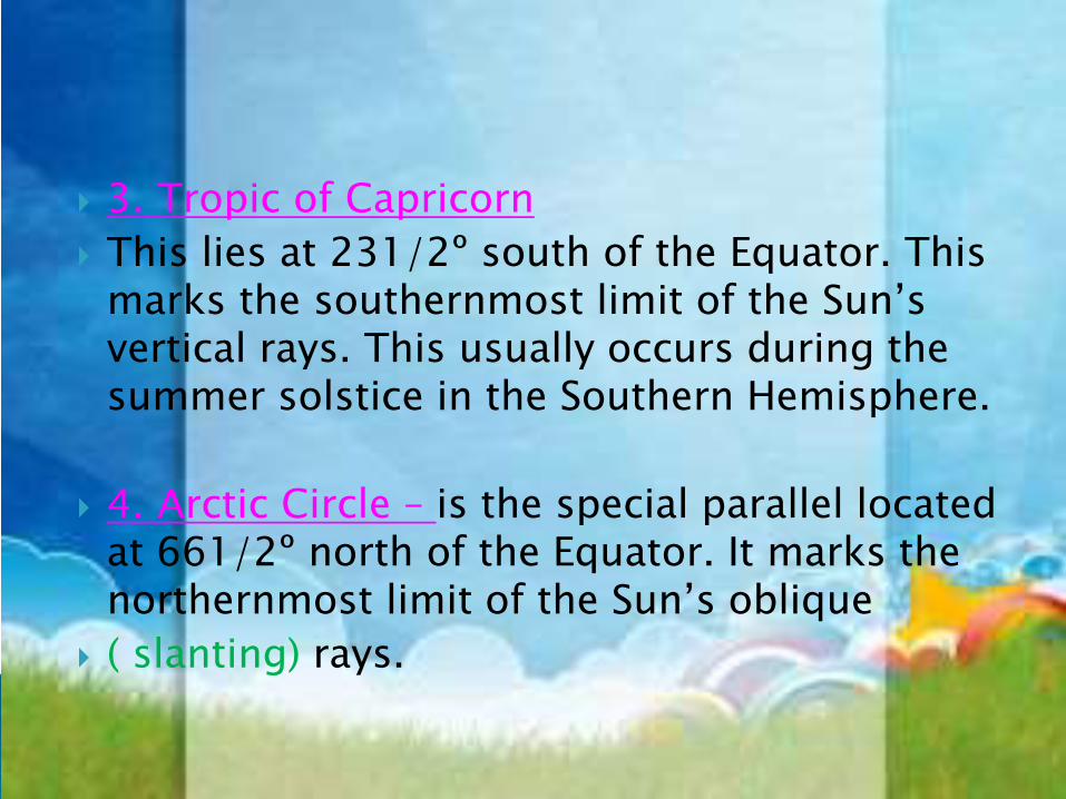
3. Tropic of Capricorn
This lies at 231/2º south of the Equator. This marks the southernmost limit of the Sun’s vertical rays. This usually occurs during the summer solstice in the Southern Hemisphere.
4. Arctic Circle – is the special parallel located at 661/2º north of the Equator. It marks the northernmost limit of the Sun’s oblique
( slanting) rays.
5. Antarctic Circle is found at 66 1/2º south of the Equator. It Marks the southernmost limit of the Sun’s oblique rays.
Tropic of Cancer at Tropic of Capricorn are referred to as the Middle Latitudes- This area was used to be called the Temperate Zone.
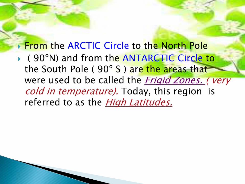
From the ARCTIC Circle to the North Pole
( 90ºN) and from the ANTARCTIC Circle to the South Pole ( 90º S ) are the areas that were used to be called the Frigid Zones. ( very cold in temperature). Today, this region is referred to as the High Latitudes.
Meridians – are lines running vertically about the Earth . They converge (tend to meet at the point) at the Poles and have the same length, though their distances vary from Equator toward the Poles, being spaced farthest along the Equator and decreases as they approach the Poles.
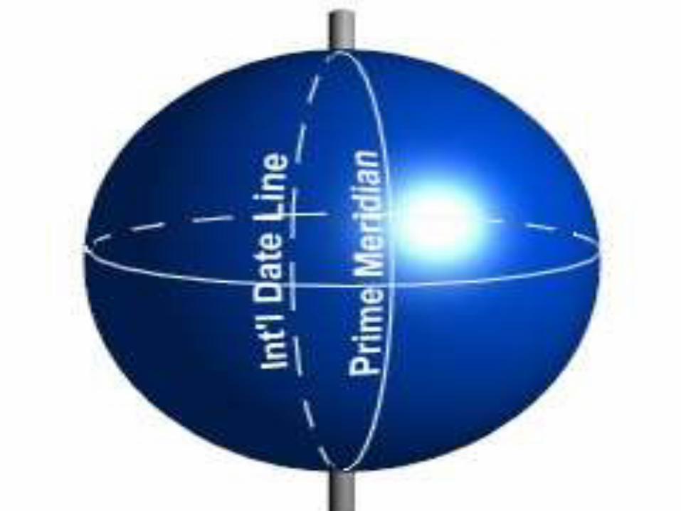
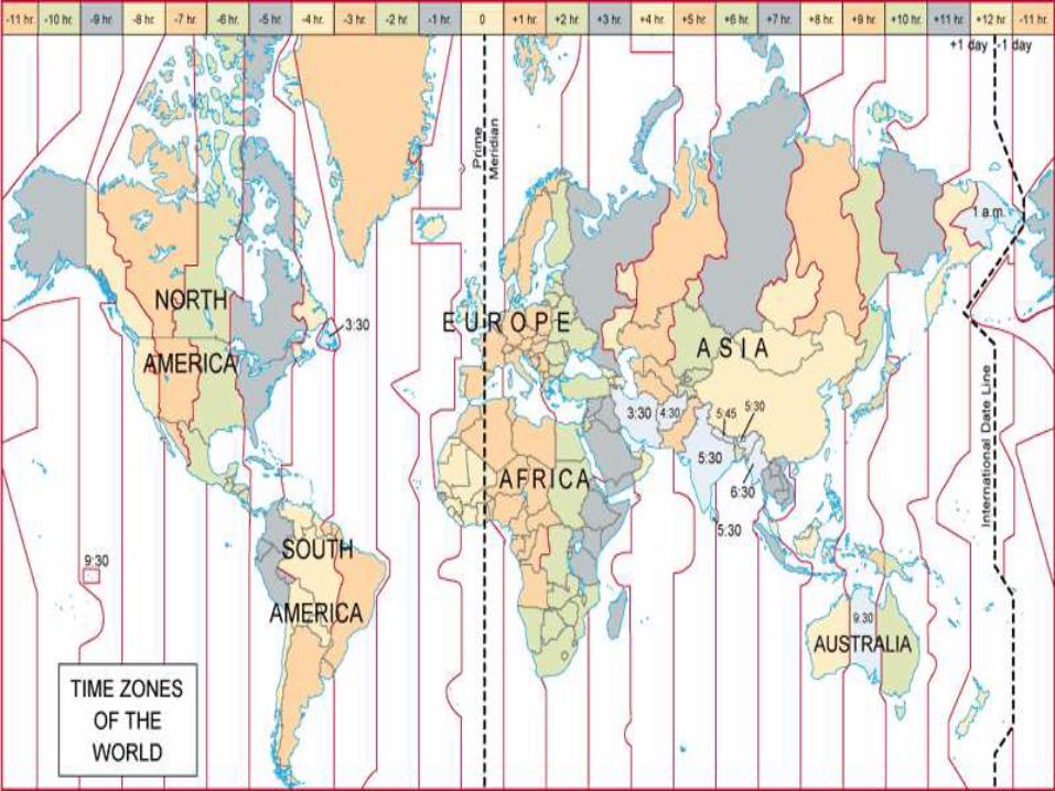
1. Prime Meridian-is the line designated 0 longitude and which passes through Greenwich, England. It is also called the Greenwich Meridian. It is the reference point in measuring distances eastward or westward. Therefore, it divides the Earth into the Eastern and Western Hemispheres. All areas lying to the right of the Prime Meridian up to the 180th meridian belong to the Eastern Hemisphere. On the other hand, those places lying to the left of the Prime Meridian up to the 180th meridian belong to the Western Hemisphere.
2. The International Date Line- Directly opposite the Prime Meridian is the 180th
meridian designated the International Date Line. It passes across the Pacific Ocean. It is not a straight line. It deviates eastward and westward upon crossing certain places to allow land areas and island groups to have the same calendar day. It is along this meridian that one loses or gains a day upon crossing it.
1. Draw two big circles. Draw lines to show the Equator and the International Date Line.
2. Draw a big circle. Draw lines to show the special parallels. Identify each.
Note: Use long bond paper.

Hemisphere comes from the Greek, and combines the prefix hemi-, for "half," with sphere, or "perfectly round ball." We talk about the earth as divided at the equator into the northern and southern hemispheres (or divided at the prime meridian into eastern and western hemispheres).
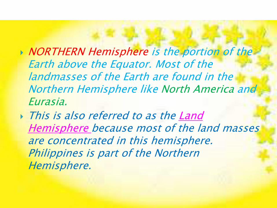
NORTHERN Hemisphere is the portion of the Earth above the Equator. Most of the landmasses of the Earth are found in the Northern Hemisphere like North America and Eurasia.
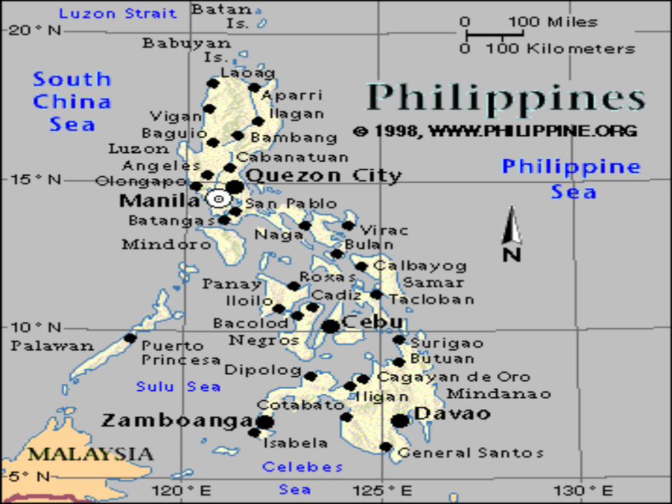
This is also referred to as the Land Hemisphere because most of the land masses are concentrated in this hemisphere. Philippines is part of the Northern Hemisphere.
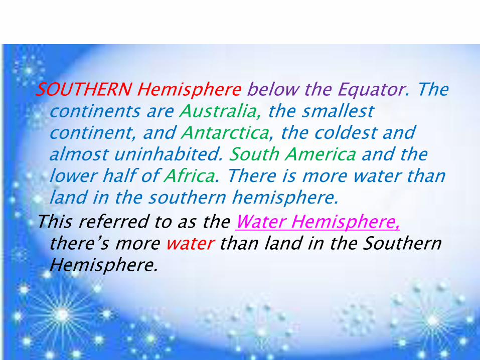
SOUTHERN Hemisphere below the Equator. The continents are Australia, the smallest continent, and Antarctica, the coldest and almost uninhabited. South America and the lower half of Africa. There is more water than land in the southern hemisphere.
This referred to as the Water Hemisphere, there’s more water than land in the Southern Hemisphere.
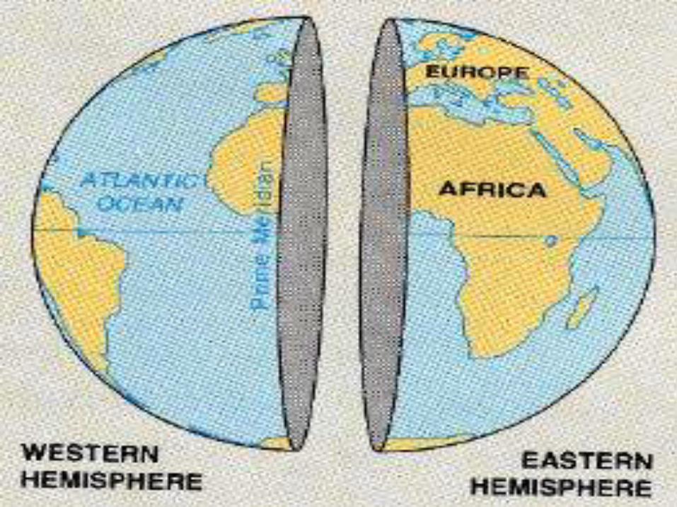
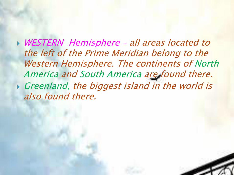
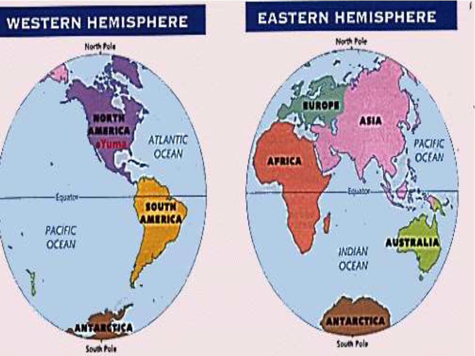
WESTERN Hemisphere – all areas located to the left of the Prime Meridian belong to the Western Hemisphere. The continents of NorthAmerica and South America are found there.
Greenland, the biggest island in the world is also found there.
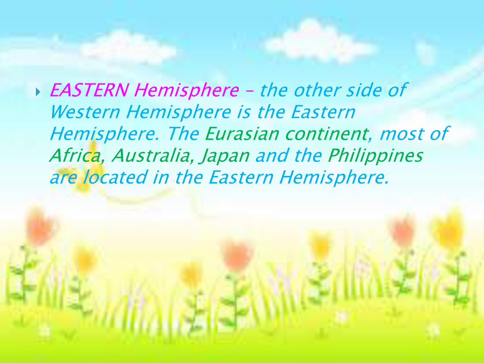
EASTERN Hemisphere – the other side of Western Hemisphere is the Eastern Hemisphere. The Eurasian continent, most of Africa, Australia, Japan and the Philippinesare located in the Eastern Hemisphere.
1. Draw the ff:
a. northern and southern hemisphere
b. western and eastern hemisphere
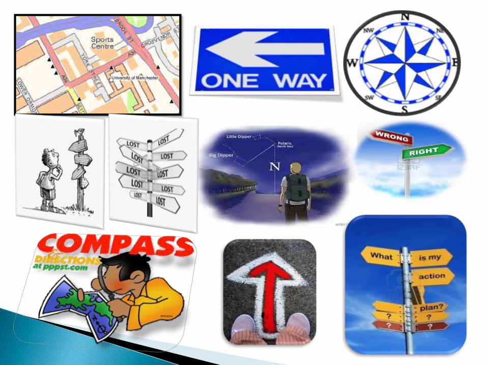
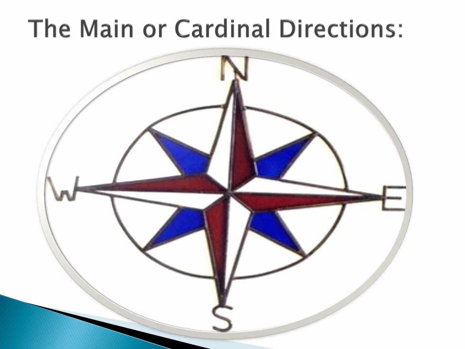
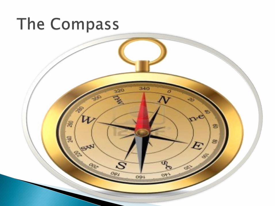
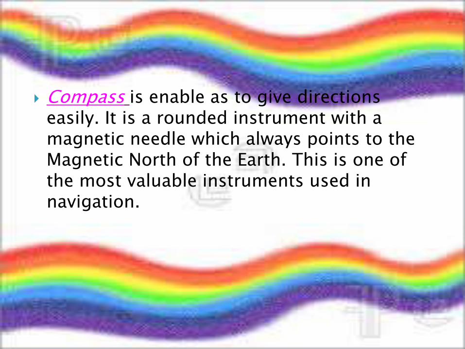
Compass is enable as to give directions easily. It is a rounded instrument with a magnetic needle which always points to the Magnetic North of the Earth. This is one of the most valuable instruments used in navigation.
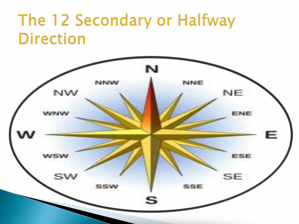
This describe more accurately the direction of places or any landmark in relation to other places or landmarks.
NE – Northeast SE – Southeast NW – Northwest SW – Southwest ENE – East Northeast ESE – East Southeast
NNE-North Northeast
NNW- North Northwest
SSE- South Southeast
SSW – South Southwest
WSW – West Southwest
WNW – West Northwest
These directions would more or less, give an accurate orientation of the places we are looking for or where we want to go.
This is needle mounted on a pivot ( rotate or swing). The needle usually place in the middle of the card with directions. The orienteeringcompass is very helpful during campaign and hiking trips or tours.

True North is usually presented by star-tipped arrow and corresponds to the geographic north of the Earth or towards the North Pole.
Magnetic North – is the direction toward which the magnetic arrow of the compass points to.
Grid North is defined by a geographic meridian on a map.

Related Documents