Barrow upon Soar Conservation Area Click mouse for next slide

Barrow upon Soar Conservation Area Click mouse for next slide.
Dec 16, 2015
Welcome message from author
This document is posted to help you gain knowledge. Please leave a comment to let me know what you think about it! Share it to your friends and learn new things together.
Transcript

Barrow upon Soar
Conservation Area
Click mouse for next slide

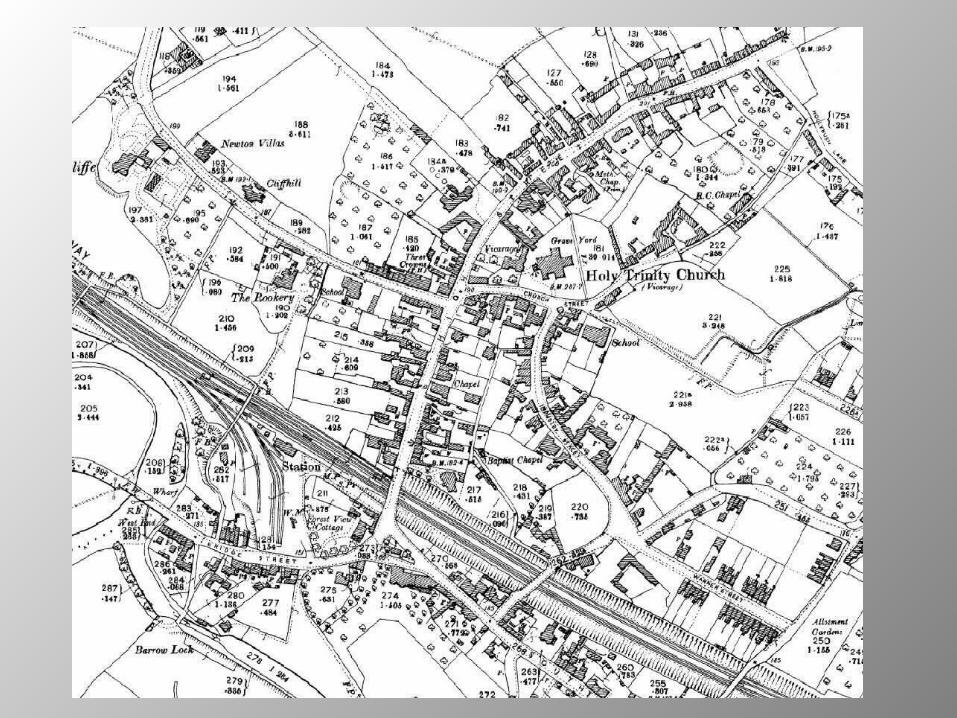
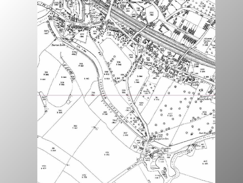
Map of 1903
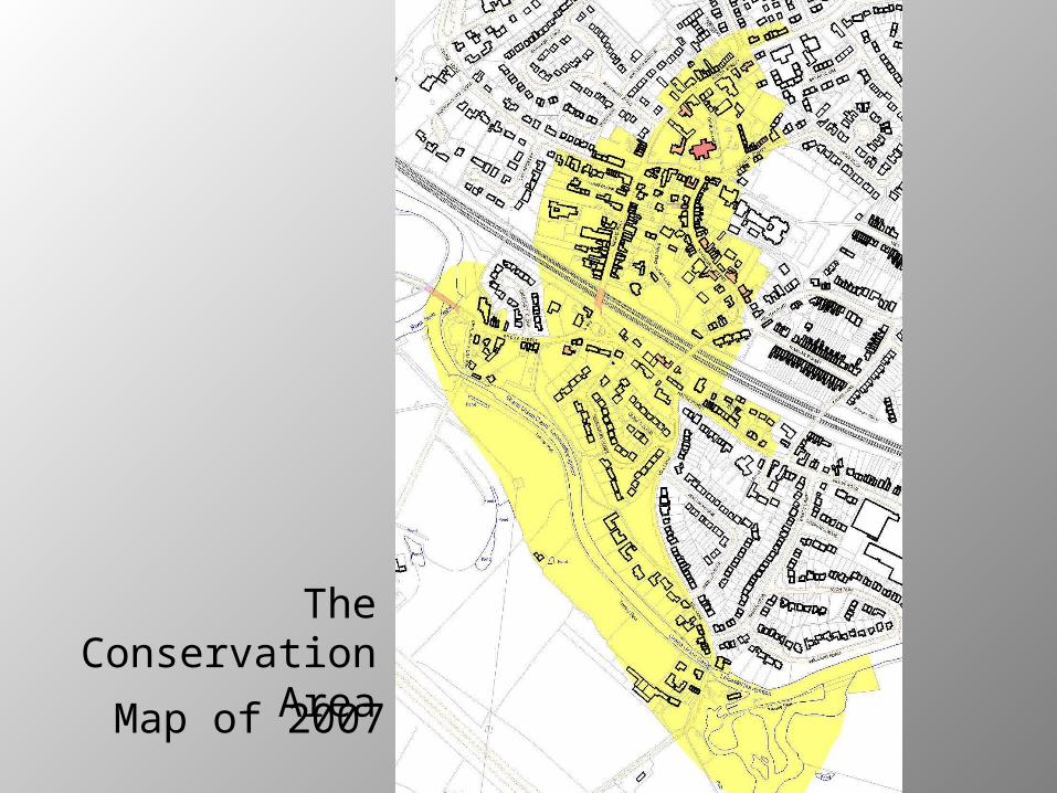
Map of 2007
The Conservation Area
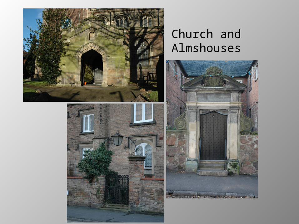
Church and Almshouses

Canal
and Railway

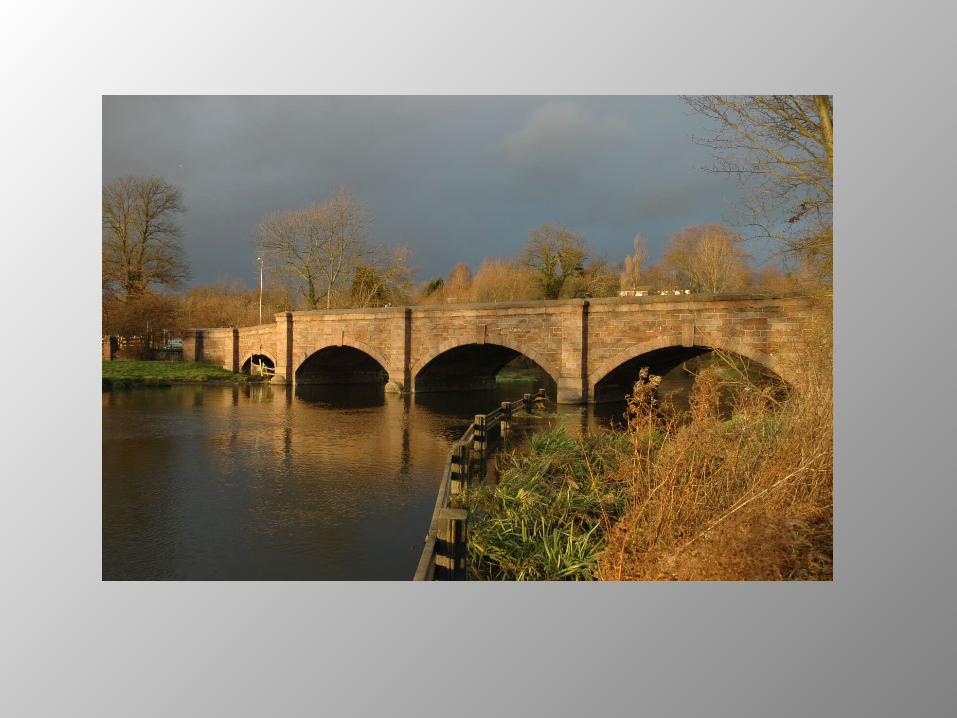
Barrow upon Soar – sitting above the river

A sense of history
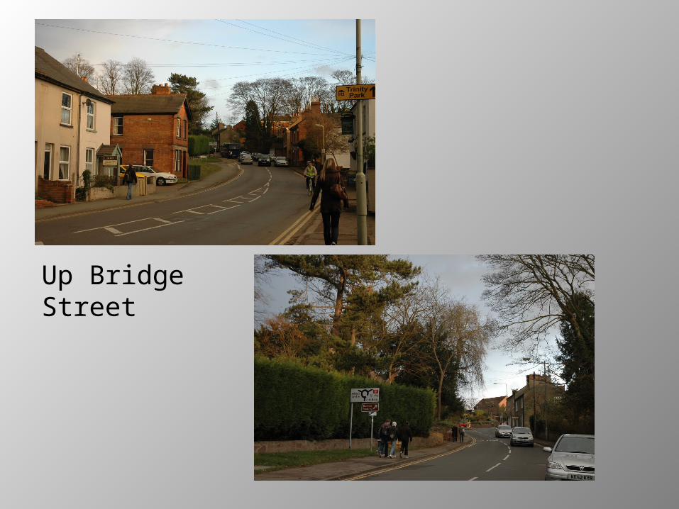
Up Bridge Street

Jerusalem Island
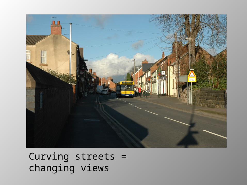
Curving streets = changing views

The change from High
St to North St marked
by the wall of the
Old Vicarage(and the chestnut
tree)
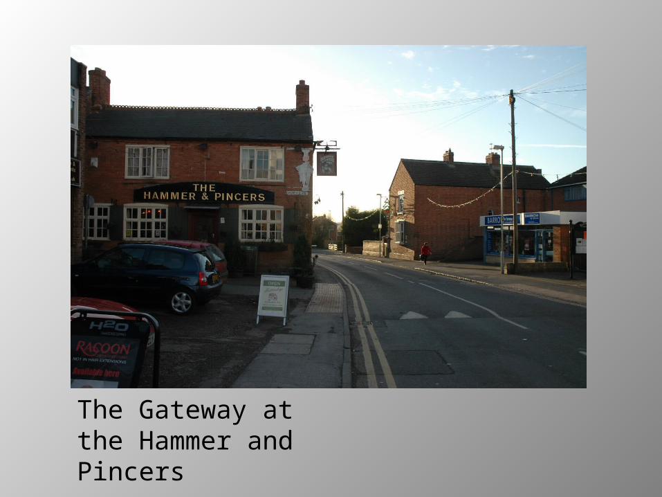
The Gateway at the Hammer and Pincers
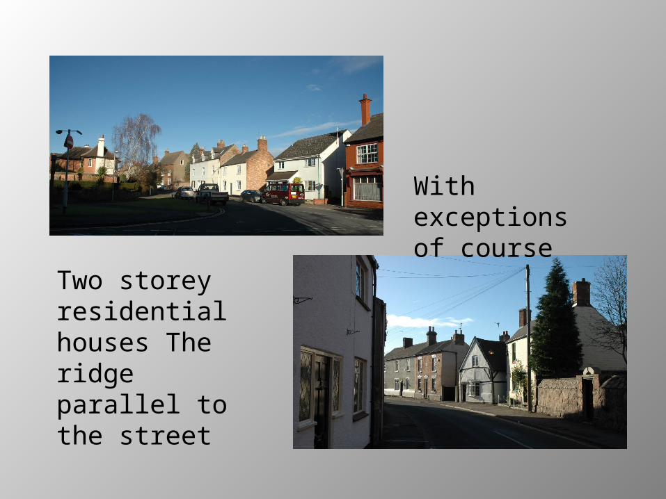
Two storey residential houses The ridge parallel to the street
With exceptions of course
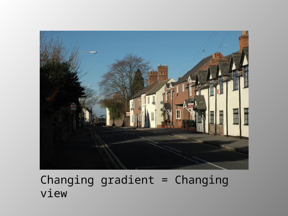
Changing gradient = Changing view
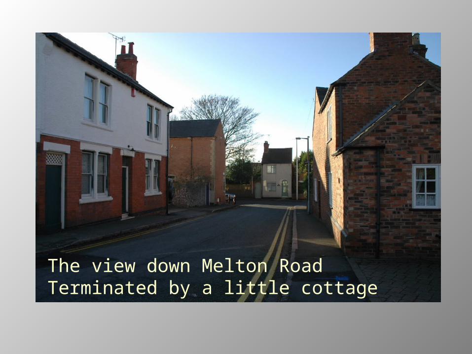
The view down Melton Road Terminated by a little cottage
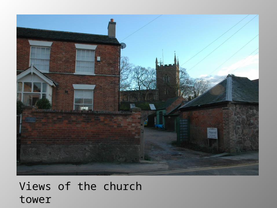
Views of the church tower

The Roundhouseand
Bishop Beveridge House
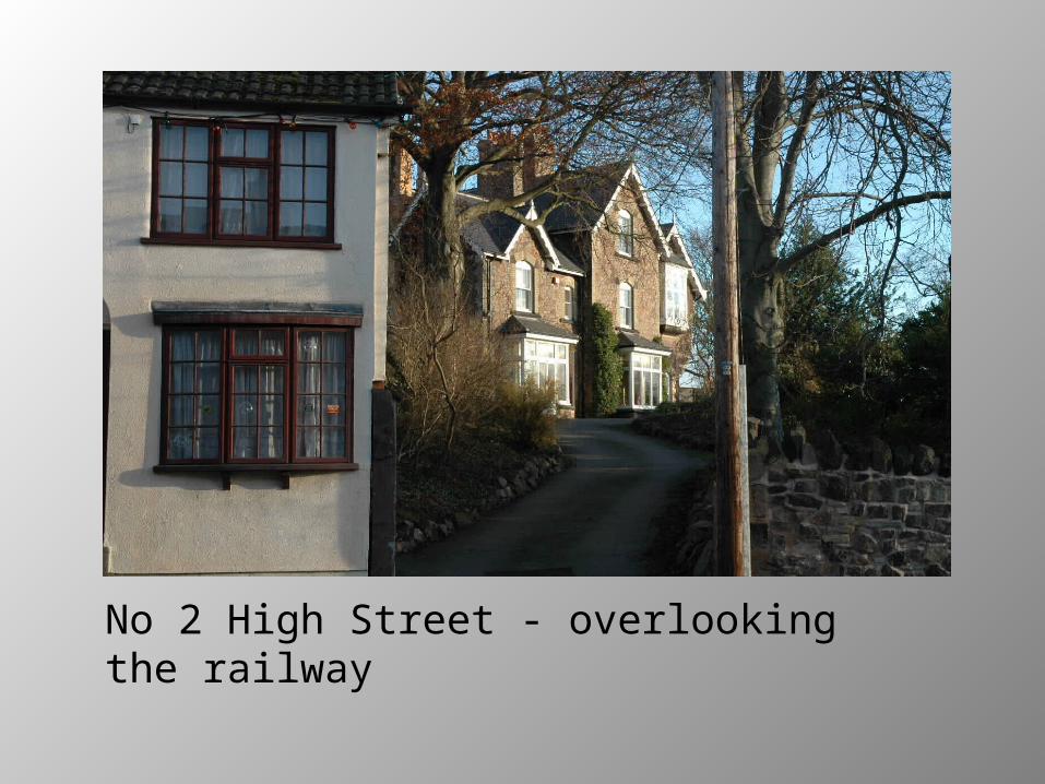
No 2 High Street - overlooking the railway
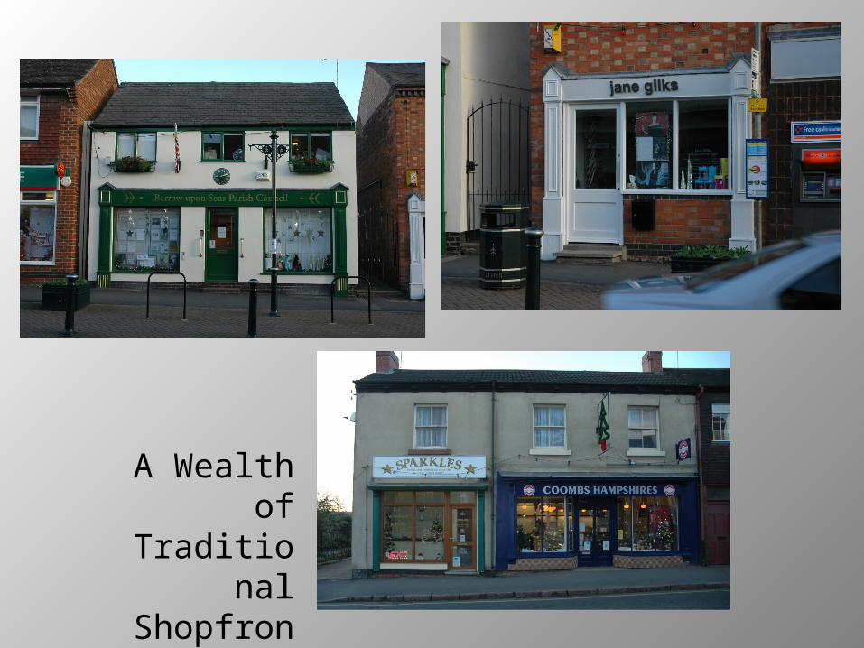
A Wealthof
Traditional Shopfront
s

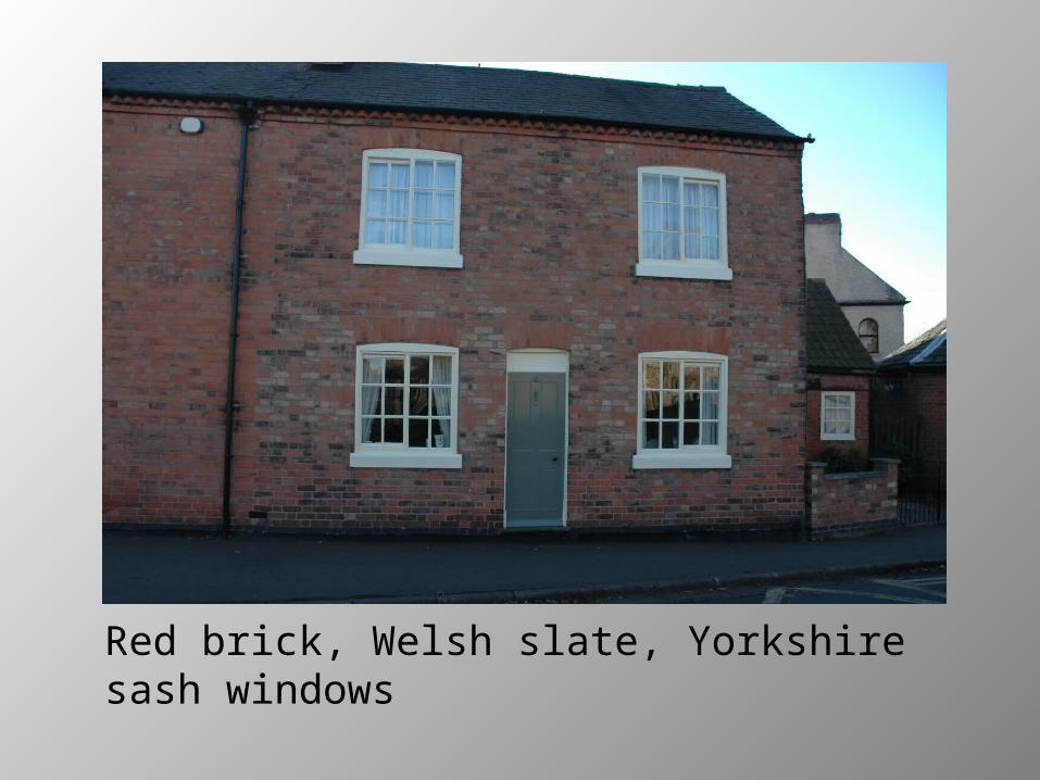
Red brick, Welsh slate, Yorkshire sash windows

Painted brick, sash windows, Swithland slate

Granite from across the river
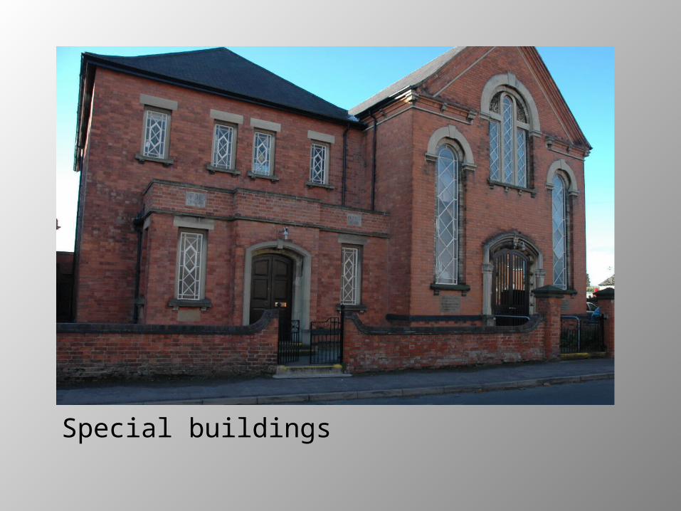
Special buildings

Traditional Doors and Windows
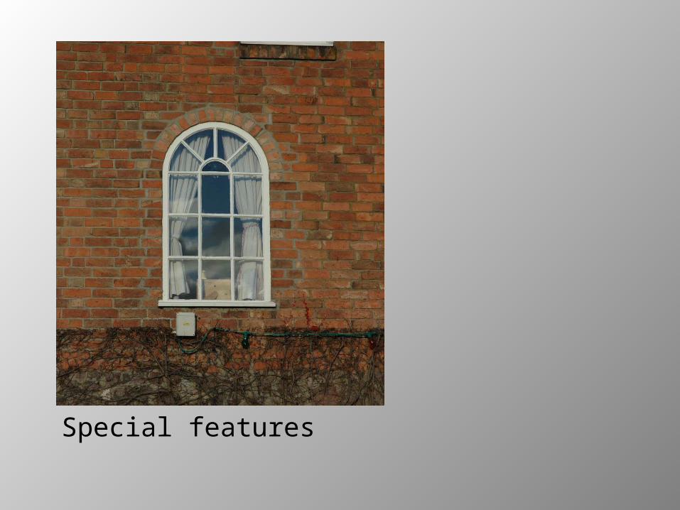
Special features

Cast iron street name plates

Open Green Spaces


Facilities for the Canal
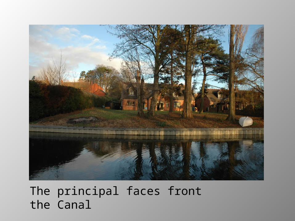
The principal faces front the Canal
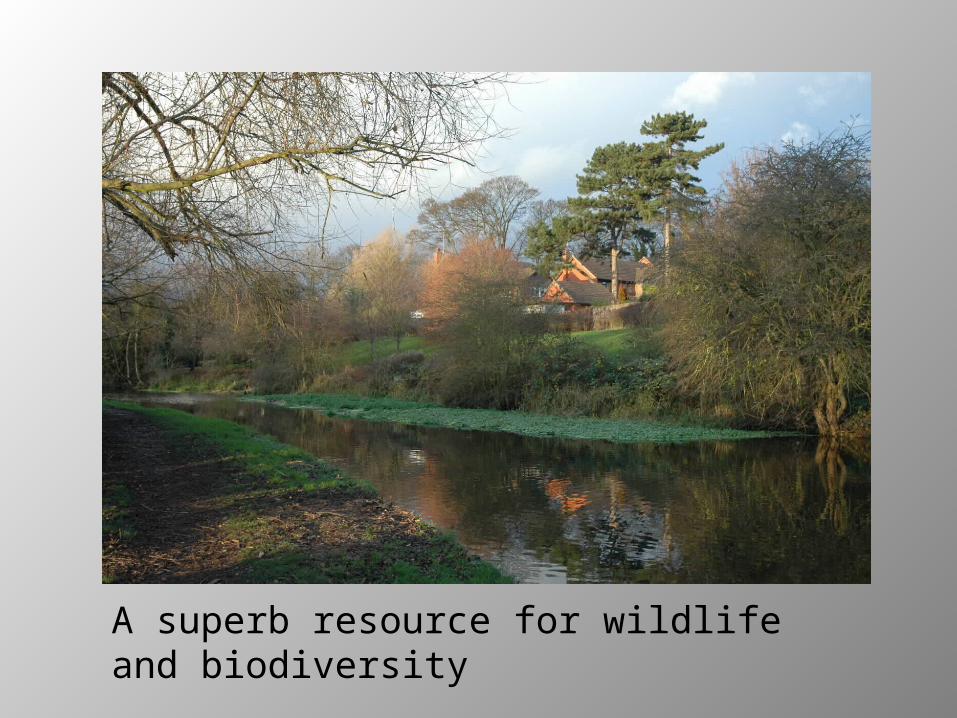
A superb resource for wildlife and biodiversity

For more about Barrow upon Soar Conservation Area download the Appraisal – either the text or the illustrated version.
Related Documents