An Introduction to Geospatial Methods 21.05.2009 | Speaker: Shawn Day| slide 1 A project of the Introduction to Geospatial Methods for e-Humanities Research Anthony Corns (Discovery Programme) Dr Rob Sands (UCD) Shawn Day (DHO) 21. 05. 2009

An Introduction to Geospatial Methods 21.05.2009 | Speaker: Shawn Day| slide 1 A project of the Introduction to Geospatial Methods for e-Humanities Research.
Dec 20, 2015
Welcome message from author
This document is posted to help you gain knowledge. Please leave a comment to let me know what you think about it! Share it to your friends and learn new things together.
Transcript

An Introduction to Geospatial Methods21.05.2009 | Speaker: Shawn Day| slide 1
A project of the
Introduction to Geospatial Methods
for e-Humanities ResearchAnthony Corns (Discovery Programme)
Dr Rob Sands (UCD)Shawn Day (DHO)
21. 05. 2009
An Introduction to Geospatial Methods21.05.2009 | Speaker: Shawn Day| slide 2
Welcome
• Aim• Assumptions• Objective

An Introduction to Geospatial Methods21.05.2009 | Speaker: Shawn Day| slide 3
Agenda
• Introduction• Demonstration• Dr Rob Sands• Shawn Day• Anthony Corns• Breakouts
• Standards• Tools• Mash-up Exercise• Issues for Analysis &
Presentation• Discussion and
Wrap-Up
An Introduction to Geospatial Methods21.05.2009 | Speaker: Shawn Day| slide 4
WHO’S PRESENTING?
An Introduction to Geospatial Methods21.05.2009 | Speaker: Shawn Day| slide 5
INTRODUCING YOURSELVES
An Introduction to Geospatial Methods21.05.2009 | Speaker: Shawn Day| slide 6
A QUICK DEMONSTRATION

An Introduction to Geospatial Methods21.05.2009 | Speaker: Shawn Day| slide 7
TALKING TERMS

An Introduction to Geospatial Methods21.05.2009 | Speaker: Shawn Day| slide 8
What is Geospatial?
• More than GIS• Its all about Space and Place• Geovisualisation?• Geoparsing?

An Introduction to Geospatial Methods21.05.2009 | Speaker: Shawn Day| slide 9
What is Geospatial Not?
• Automatic
An Introduction to Geospatial Methods21.05.2009 | Speaker: Shawn Day| slide 10
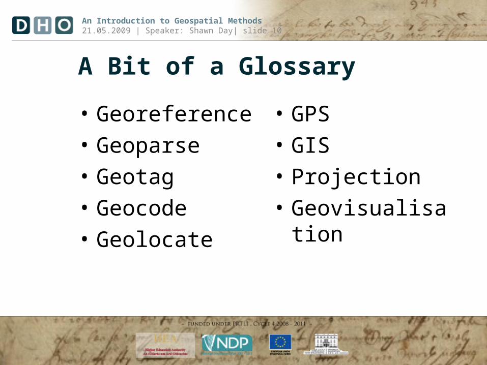
A Bit of a Glossary
• Georeference• Geoparse• Geotag• Geocode• Geolocate
• GPS• GIS• Projection• Geovisualisation
An Introduction to Geospatial Methods21.05.2009 | Speaker: Shawn Day| slide 11
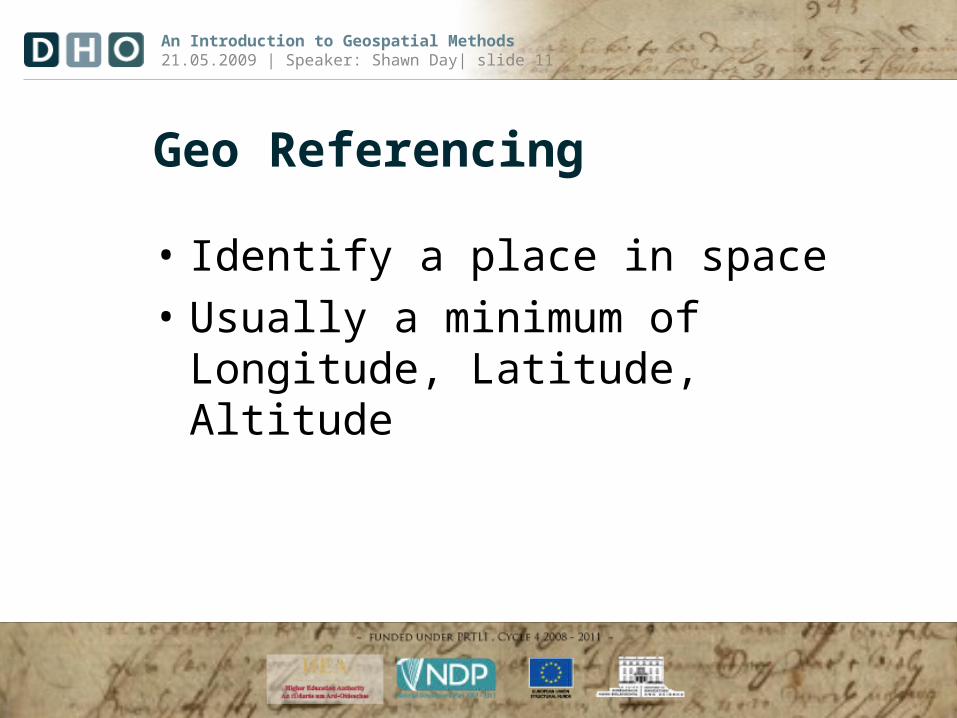
Geo Referencing
• Identify a place in space• Usually a minimum of Longitude,
Latitude, Altitude

An Introduction to Geospatial Methods21.05.2009 | Speaker: Shawn Day| slide 12
Geoparsing
• Identifying as a place as opposed to another type of entity within a body of text
• To assign geographic identifiers to words and phrases in unstructured content
• Metacarta / Calais / CalaisFull

An Introduction to Geospatial Methods21.05.2009 | Speaker: Shawn Day| slide 13
Geotag
• Add geographical reference information to media such as photographs, video, websites, blog posting, etc.

An Introduction to Geospatial Methods21.05.2009 | Speaker: Shawn Day| slide 14
Geocoding
• The process of finding geographic coordinates from address data
• Reverse Geocoding
An Introduction to Geospatial Methods21.05.2009 | Speaker: Shawn Day| slide 15
Geolocating
• Assessing the location of a real world object based on IP-address, or mobile connection to the internet

An Introduction to Geospatial Methods21.05.2009 | Speaker: Shawn Day| slide 16
Global Positioning System (GPS)• Series of US Defense
Department Satellites in Orbit that allow for accurate positioning in three dimensions

An Introduction to Geospatial Methods21.05.2009 | Speaker: Shawn Day| slide 17
Geographic Information System (GIS)• GIS can display spatial data hidden in tables and databases
• Create detailed and intelligent maps• Integrate data to reveal trends and relationships
that bring new perspectives to previously held beliefs about people and places
• Research questions in the humanities often involve a spatial component that only GIS can expose

An Introduction to Geospatial Methods21.05.2009 | Speaker: Shawn Day| slide 18
Projection
• The means by which we represent a sphere on a plane
• The earth is round, but we project it onto a flat surface to display data
• See: Flexprojector

An Introduction to Geospatial Methods21.05.2009 | Speaker: Shawn Day| slide 19
Geovisualisation
• The use of geographical representation to allow for analysis, decision-making and presentation

An Introduction to Geospatial Methods21.05.2009 | Speaker: Shawn Day| slide 20
A project of the
‘From Bits of Data to Maps’
Dr Rob Sands, UCD

An Introduction to Geospatial Methods21.05.2009 | Speaker: Shawn Day| slide 21
A project of the
Time and Space:How an Historian
Approaches the Digital Arts and Humanities
Shawn Day
21. 05. 2009 - Introduction to Geospatial Methods for Humanities Research
An Introduction to Geospatial Methods21.05.2009 | Speaker: Shawn Day| slide 22
A project of the
‘GIS at theDiscovery Programme’
Mr Anthony CornsThe Discovery Programme

An Introduction to Geospatial Methods21.05.2009 | Speaker: Shawn Day| slide 23
A project of the
Breakout Sessions
How do you think that the use of or addition of a geospatial dimension can
aid in the framing of your research questions?
An Introduction to Geospatial Methods21.05.2009 | Speaker: Shawn Day| slide 24
A project of the
Lunch

An Introduction to Geospatial Methods21.05.2009 | Speaker: Shawn Day| slide 25
A project of the
Reports from Breakout Sessions
An Introduction to Geospatial Methods21.05.2009 | Speaker: Shawn Day| slide 26
A project of the
Geospatial Standards

An Introduction to Geospatial Methods21.05.2009 | Speaker: Shawn Day| slide 27
Standards
• KML• GeoRSS• GML• GPSX• Boundary File (shapefile)

An Introduction to Geospatial Methods21.05.2009 | Speaker: Shawn Day| slide 28
KML
• Keyhole Markup Language• The Google Standard

An Introduction to Geospatial Methods21.05.2009 | Speaker: Shawn Day| slide 29
KML• A language for the visualisation of
geographic information– Placemarks– Ground Overlays– Paths– Polygons– Styles

An Introduction to Geospatial Methods21.05.2009 | Speaker: Shawn Day| slide 30
KML

An Introduction to Geospatial Methods21.05.2009 | Speaker: Shawn Day| slide 31
KML
• Google Earth
An Introduction to Geospatial Methods21.05.2009 | Speaker: Shawn Day| slide 32
GML
• Adopted by the Open Geospatial Consortium (OGC)
• Can be embedded in the TEI

An Introduction to Geospatial Methods21.05.2009 | Speaker: Shawn Day| slide 33
GML
• Feature• Geometry• Coordinate
Reference System• Topology• Time
• Dynamic feature Coverage
• Unit of measure• Directions• Observations• Map presentation
styling rules

An Introduction to Geospatial Methods21.05.2009 | Speaker: Shawn Day| slide 34
GeoRSS
• RSS (Really Simple Syndication)• An interchange format for changing
information – a feed• RSS with Geotagged Posts and Objects• See: GeoFeeder

An Introduction to Geospatial Methods21.05.2009 | Speaker: Shawn Day| slide 35
A project of the
Geospatial Tools
An Introduction to Geospatial Methods21.05.2009 | Speaker: Shawn Day| slide 36
Tools
• Google/Yahoo Maps
• Google Earth• Yahoo Pipes• GPSBabel• Simile Exhibit
• Many-Eyes• ESRI ArcGIS• OpenGRASS• Name Authorities

An Introduction to Geospatial Methods21.05.2009 | Speaker: Shawn Day| slide 37
Google Maps/Yahoo Maps
• 2D generally• Provide API so that you can annotate
with your own data• Allow georeferencing, geolocation and
geocoding• Visit the Maps (Plot KML)

An Introduction to Geospatial Methods21.05.2009 | Speaker: Shawn Day| slide 38
Google Earth
• 2D/3D and as was saw before even 4D• Open API and very sophisticated• Available as a Plugin for Browsers

An Introduction to Geospatial Methods21.05.2009 | Speaker: Shawn Day| slide 39
Yahoo Pipes
• A transformational means to represent data in a geospatial means
• View Flickr Demo

An Introduction to Geospatial Methods21.05.2009 | Speaker: Shawn Day| slide 40
GPS Babel/GPS Visualiser
• GPS Visualiser• GPSBabel
An Introduction to Geospatial Methods21.05.2009 | Speaker: Shawn Day| slide 41
Name Authorities
• Alexandria Digital Library• Logainm• Getty

An Introduction to Geospatial Methods21.05.2009 | Speaker: Shawn Day| slide 42
Next Steps
• Recipes: GIS Cookbook• Standards: Open Geospatial Consortium• News: Slashgeo
An Introduction to Geospatial Methods21.05.2009 | Speaker: Shawn Day| slide 43
Exercise/Hands-On: Finding Yourself
• Raw Materials: Excel Spreadsheet of Participants, IP Address and Physical Location
• Tools: Google Earth, Excel, MaxMind• Objective locate all members of
workshop and create usable map view for presentation

An Introduction to Geospatial Methods21.05.2009 | Speaker: Shawn Day| slide 44
A project of the
Issues for Analysis
How can humanists use geospatial techniques/methods to pose research questions
and aid in analysis and exploration?

An Introduction to Geospatial Methods21.05.2009 | Speaker: Shawn Day| slide 45
The Research Process
• Why should I use geographic information?
• What type of questions can I ask of it?

An Introduction to Geospatial Methods21.05.2009 | Speaker: Shawn Day| slide 46
Issues for Humanities Research Analysis• Experimental• Limited Usage• Fluid Practise• Standards still
being set• Collabourative
• Limited Support• Steep Learning
Curve
An Introduction to Geospatial Methods21.05.2009 | Speaker: Shawn Day| slide 47
A project of the
Issues for Presentation
How can geospatial techniques help to present research findings in the humanities?

An Introduction to Geospatial Methods21.05.2009 | Speaker: Shawn Day| slide 48
Issues
• Type of Map• Type of Chart• Colour• Scale• Data
Representation
• Interoperability

An Introduction to Geospatial Methods21.05.2009 | Speaker: Shawn Day| slide 49
Wrap-Up
• How have your ideas possibly changed since our breakouts?
• Where do questions remain?• What else would you like to see covered
in future events?• Complete feedback forms

An Introduction to Geospatial Methods21.05.2009 | Speaker: Shawn Day| slide 50
The Geostack
Related Documents