Advanced Methods of Underground Utility Data Collection Matthew Miley City of Lorain @Matthew_Miley 9/22/2015

Advanced Methods of Underground Utility Data Collection Matthew Miley City of Lorain @Matthew_Miley 9/22/2015.
Jan 01, 2016
Welcome message from author
This document is posted to help you gain knowledge. Please leave a comment to let me know what you think about it! Share it to your friends and learn new things together.
Transcript

Advanced Methods of Underground Utility Data Collection
Matthew Miley City of Lorain@Matthew_Miley9/22/2015
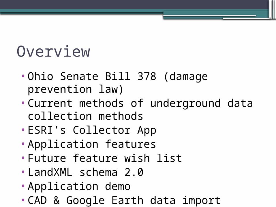
Overview
•Ohio Senate Bill 378 (damage prevention law)
•Current methods of underground data collection methods
•ESRI’s Collector App•Application features•Future feature wish list •LandXML schema 2.0•Application demo•CAD & Google Earth data import

Ohio's Senate Bill 378 (damage prevention law)• (B) "Underground utility facility" includes any
item buried or placed below ground or submerged under water for use in connection with the storage or conveyance of water or sewage; electronic, etc. etc. etc
• (E) "Tolerance zone" means the site of the underground utility facility including the width of the underground utility facility plus eighteen inches on each side of the facility.
http://archives.legislature.state.oh.us/bills.cfm?ID=130_SB_378

Land Surveying Methods of underground data collection•Take notes in field book.•Draw a sketch.

Survey Notes
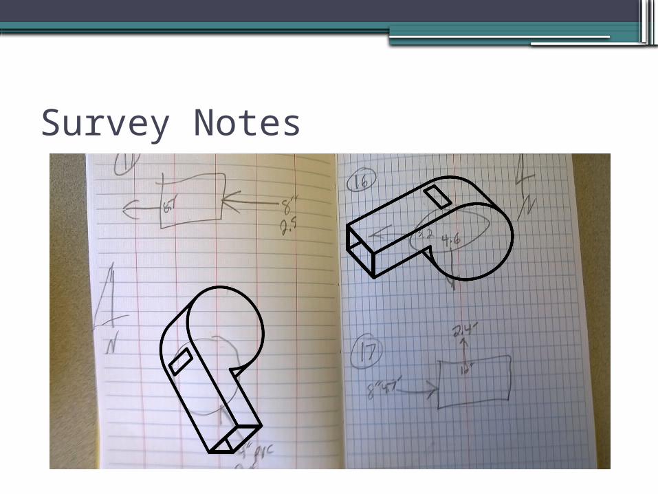
Survey Notes

Ground Penetrating Radar
•Ohio’s GPR Index is mostly low (See map next slide)
•Lots of post processing.

Ground Penetrating Radar

Pipeline pig location transmitter• Is a generic term signifying any independent, self-contained
device, tool, or vehicle that is inserted into and moves through the interior of a pipeline for inspecting, dimensioning, or cleaning. These tools are commonly referred to as ‘pigs’ because of the occasional squealing noises that can be heard as they travel through the pipe. - See more at: http://www.utilitylocatinghq.com/glossary/pig/#sthash.png5F8hU.dpuf
http://img.directindustry.com/images_di/photo-g/pipeline-pig-location-transmitter-41264-7789657.jpg

Sewer Televising
•Mostly done to observe pipe conditions.•Expensive and time-consuming.•Typically don’t get a schematic output.

ESRI’s Collector App
•iOS, Android, and Windows 10 (soon)•Great support•Cheap•Easy to use
ESRI’s Collector App features
•Download maps to your device and work offline.
•Use GPS to create and update map data.•Collect points, lines, and area features.•Fill out easy-to-use, map-driven forms.•Find places and get directions.•Track and report areas you visited.•Edited related-tables.
Application target audiences
•Agencies looking to cost- effectively map their underground utility system.
•Engineers /Designers looking to collect underground utilities for civil engineering projects.
•Land surveyors who are looking to add value to their output product.
•SWMM, sanitary, and water modelers

Application features
•Structures imported via csv file. (#,x,y,z,desc)
•New structures can be captured by clicking on aerial photo and elevation comes from NED.
•Simplified UI/UX tailored for underground utility data capturing.
•Use your ArcGIS Online account to load your custom webmaps.
•Exports via landxml file and/or kml.

Future feature wish list
•Export features to ArcGIS Online feature layer.
•3D map view.•Port application to Universal Windows
Platform (Windows 10 phone, tablet, and desktop).
•Make user agreement to collect everyone’s underground utility data and save it to the cloud as a premium map service. (Pipe dream, no pun intended!)

LandXML schema•Launched January
2000, LandXML.org is committed to providing an non-proprietary data standard (LandXML), driven by an industry consortium of partners

Application demos
•Survey To Network - Getting Started on Vimeo
This video demonstrates how to get started with Survey To Network. It shows users how to import points and ...

CAD & Google Earth data import Demo•Survey To Network - Getting Started o
n VimeoThis video demonstrates how to get started with Survey To Network. It shows users how to import points and ...
Related Documents


