3.5 Intermountains and Basins

Welcome message from author
This document is posted to help you gain knowledge. Please leave a comment to let me know what you think about it! Share it to your friends and learn new things together.
Transcript

3.5 Intermountains and Basins

Mountains and Basins
• The Intermountains Basins and Plateaus region – sometimes called the Mountains and Basins – dominates the landscape of far West Texas.
• Mountains, plateaus, basins and canyons are the landscape of the subregion.
Mountains and Basins
• A basin is a lowland surrounded by higher land.
• With its high mountains and low basins, the area’s elevation varies greatly.
• The lowest point is in a canyon cut by the Rio Grande.
• The bottom of this canyon sits 1700 feet above sea level.
Mountains and Basins
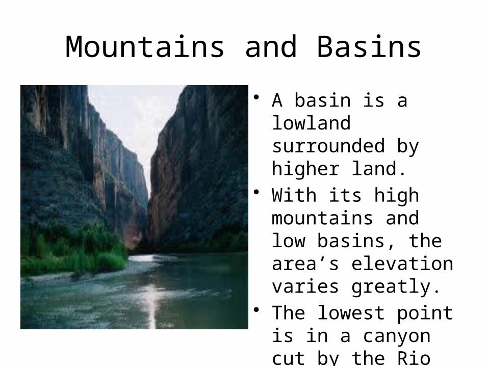
• The highest point in this subregion and in Texas is Guadelupe Peak, which reaches 8,749 feet above sea level.
• The peak is part of the Guadelupe Mountains near the New Mexico border.

Mountains and Basins
• The Davis Mountains rise in the central area of the region.
• Several peaks in the Davis Mountains reach more than 7,000 feet.
• The Chisos Mountains are near the Rio Grande.
Mountains and Basins
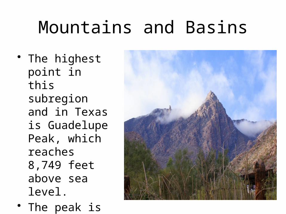
• The climate of the region is also extreme.
• Summers are very hot and winters can be cold.
• Whatever the temperature, this region is almost always dry.
• In western areas of the region the average rainfall is less than 9 inches a year.

Mountains and Basins• The desert climate has also
limited farming and ranching.• Local ranches must be large
because the desert grasses and plants offer limited food source for cattle, sheep and goats.
• Some Texans have managed to farm the region by using irrigation.
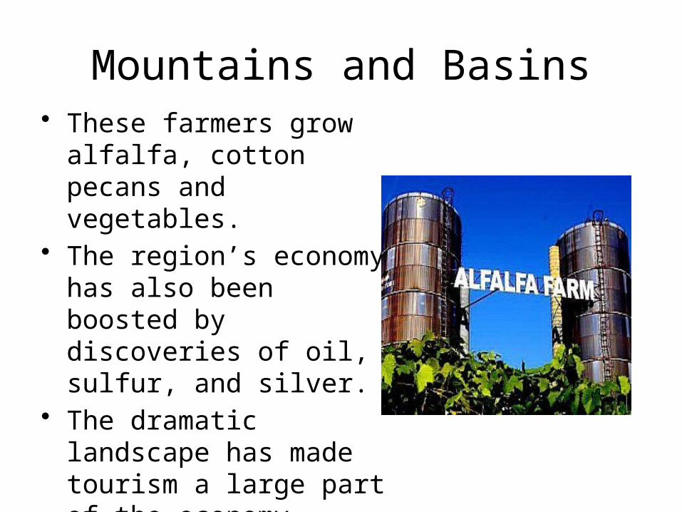
Mountains and Basins• These farmers grow alfalfa,
cotton pecans and vegetables.• The region’s economy has also
been boosted by discoveries of oil, sulfur, and silver.
• The dramatic landscape has made tourism a large part of the economy.
• Tourism is the business of attracting visitors to a region or place.
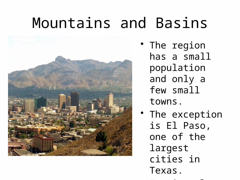
Mountains and Basins• The region has a
small population and only a few small towns.
• The exception is El Paso, one of the largest cities in Texas.
• It sits along the Rio Grande in the western most corner of the state.

Mountains and Basins
• Military bases and trade with Mexico have boosted the city’s economy.
• In addition, Interstate 10 – one of the most important U.S. highways– runs through El Paso.
• This major east-west shipping route has increased trade in the region.

Texas National Parks
• Many businesses in El Paso has prospered by offering services to tourists.
• The beauty of the landscape also provides towns such as Alpine and Marfa with a major source of income.
• These towns serve as entrance points to one of the most popular tourist areas in Texas –Big Bend National Park.

Texas National Parks
• The park, which was named after its location in the bend of the Rio Grande, covers some 800,000 acres.
• Big Bend protects a wide variety of plants and animals, including the endangered peregrine falcon and the Mexican long-nosed bat.

Texas National Parks• Guadelupe Mountains National
Part and Big Bend National Park offer many recreational activities such as bird-watching, camping, hiking and river rafting.
• The National Park Service describes Big Bend as the “most outstanding scenic area of Texas. It has a dramatic landscape of towering peaks and deep river canyons.
Related Documents