1 Global Positioning System (GPS)

Welcome message from author
This document is posted to help you gain knowledge. Please leave a comment to let me know what you think about it! Share it to your friends and learn new things together.
Transcript
1
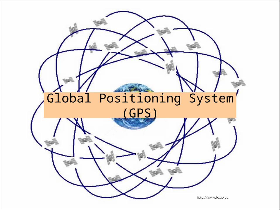
Global Positioning System (GPS)
2
Introduction
• The current global positioning system (GPS) is the culmination of years of research and unknown millions of dollars.
• The current system is managed by the U.S Air Force for the Department of Defense (DOD).
• The current system became fully operational June 26, 1993 when the 24th satellite was lunched.

3
Introduction--cont.
• GPS provides specially coded satellite signals that can be processed with a GPS receiver, enabling the receiver to compute position, velocity and time.
• A minimum of four GPS satellite signals are required to compute positions in three dimensions and the time offset in the receiver clock.
• Accuracy and precision of data increases with more satellites.
4
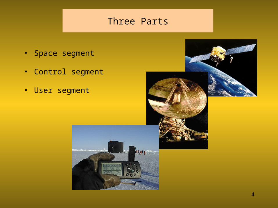
Three Parts
• Space segment
• Control segment
• User segment

Space Segment
5

Space Segment--Information
• The GPS uses a constellation of 24 satellites that orbit the earth
• The orbital position is constantly monitored and updated by the ground stations.
• Each satellite is identified by number and broadcasts a unique signal.
• The signal travels at the speed of light.• Each satellite has a very accurate clock, 0.000000003
seconds
6
7
Space Segment--Satellite Signals
• Because the GPS receiver calculates its location by trilateration, he task of the receiver is to determine its distance from multiple satellites.
• The GPS system uses two types of signals to calculate distance.– Code-phase ranging– Carrier-phase ranging

Space Segment--Satellite Signals--Code-Phasing Ranging
• Each satellite has a unique signal.• It continuously broadcasts its signal and also sends out
a time stamp every time it starts.• The receiver has a copy of each satellite signal and
determines the distance by recording the time between when the satellite says it starts its signal and when the signal reaches the receiver.
8

9
Space Segment--Satellite Signals--Code-Phasing Ranging – cont.
• Distance is calculated using the velocity equation.
Velocity =Distance
Time• Rearranging the equation for distance:
Distance = Velocity x Time
• If the system knows the velocity of a signal and the time it takes for the signal to travel from the sender to the receiver, the distance between the sender and the receiver can be determined.

10
Distance Example—Code Phase Ranging
• The signals from the GPS satellites travel at the speed of light--186,000 miles/second.
• How far apart are the sender and the receiver if the signal travel time was 0.23 seconds?
Distance (ft) = Velocity (mi/sec) x Time (sec)
= 186,000 misec
x 5208ftmi
0.23 sec = 2,257,8400 ft
• It should be clear that this system requires very accurate measurement of time and synchronization of clocks.
• These time errors limit the precision of this system.

Receiver Segment
11

Receiver
• The receiver collects, decodes and processes the satellite signals.
• The basic receiver does not include a transmitter.• Different levels of precision are available.• The receiver determines its location by trilateration.
12

13
GPS Trilateration
• Each satellite knows its position and its distance from the center of the earth.
• Each satellite constantly broadcasts this information.
• With this information and the calculated distance, the receiver calculates its position.
• Just knowing the distance to one satellite doesn’t provide enough information.

14
GPS Trilateration--cont.
• When the receiver knows its distance from only one satellite, its location could be anywhere on the earths surface that is an equal distance from the satellite.
• Represented by the circle in the illustration.
• The receiver must have additional information.
15
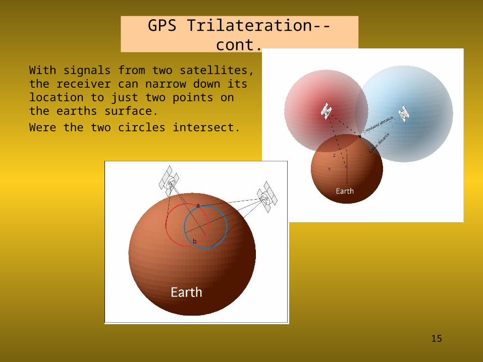
GPS Trilateration--cont.
With signals from two satellites, the receiver can narrow down its location to just two points on the earths surface.Were the two circles intersect.
16
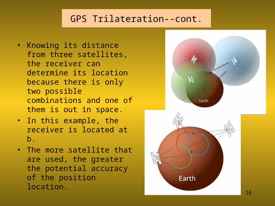
GPS Trilateration--cont.
• Knowing its distance from three satellites, the receiver can determine its location because there is only two possible combinations and one of them is out in space.
• In this example, the receiver is located at b.
• The more satellite that are used, the greater the potential accuracy of the position location.
Related Documents


