Welcome message from author
This document is posted to help you gain knowledge. Please leave a comment to let me know what you think about it! Share it to your friends and learn new things together.
Transcript
STAR 2016Tanoa International Hotel,
Nandi, Fiji
Recovery and Development of
the Cook Islands Minerals
Database for SBMA
Marino Wichman- GIS Officer
Topics to Cover
• Background
• Historical Information
• GIS Platform/ Data Management
• Future Work
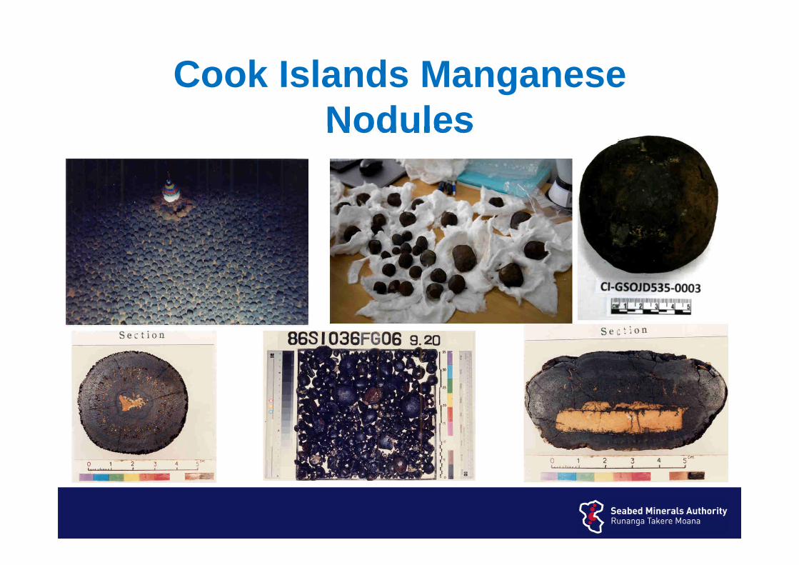
Cook Islands Manganese Nodules
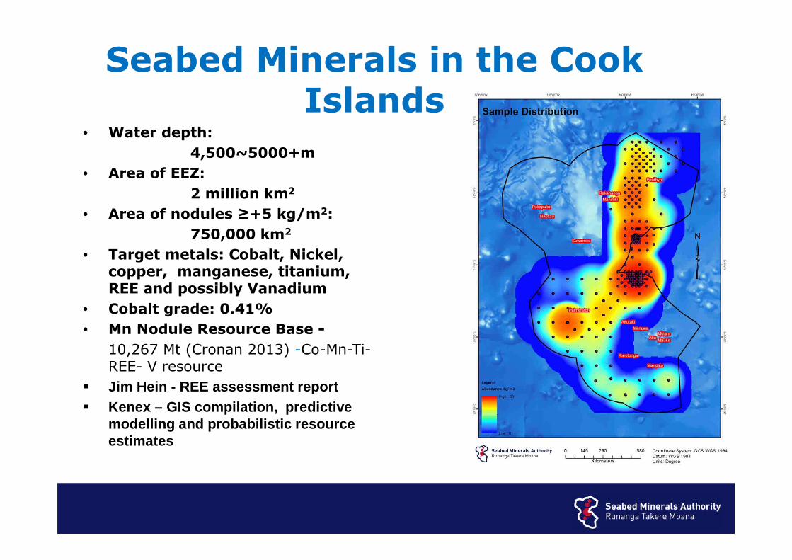
• Water depth:
4,500~5000+m
• Area of EEZ:
2 million km2
• Area of nodules ≥+5 kg/m2:
750,000 km2
• Target metals: Cobalt, Nickel, copper, manganese, titanium, REE and possibly Vanadium
• Cobalt grade: 0.41%
• Mn Nodule Resource Base -
10,267 Mt (Cronan 2013) -Co-Mn-Ti-REE- V resource
� Jim Hein - REE assessment report� Kenex – GIS compilation, predictive
modelling and probabilistic resource estimates
Seabed Minerals in the Cook Islands

Historic Cruises
• Considerable research of EEZ waters from various government research providers since the 1960’s – USSR, US, European Countries, New
Zealand, Japan
• Major survey of S Pacific 1985-2005 Japan/SOPAC cooperative study
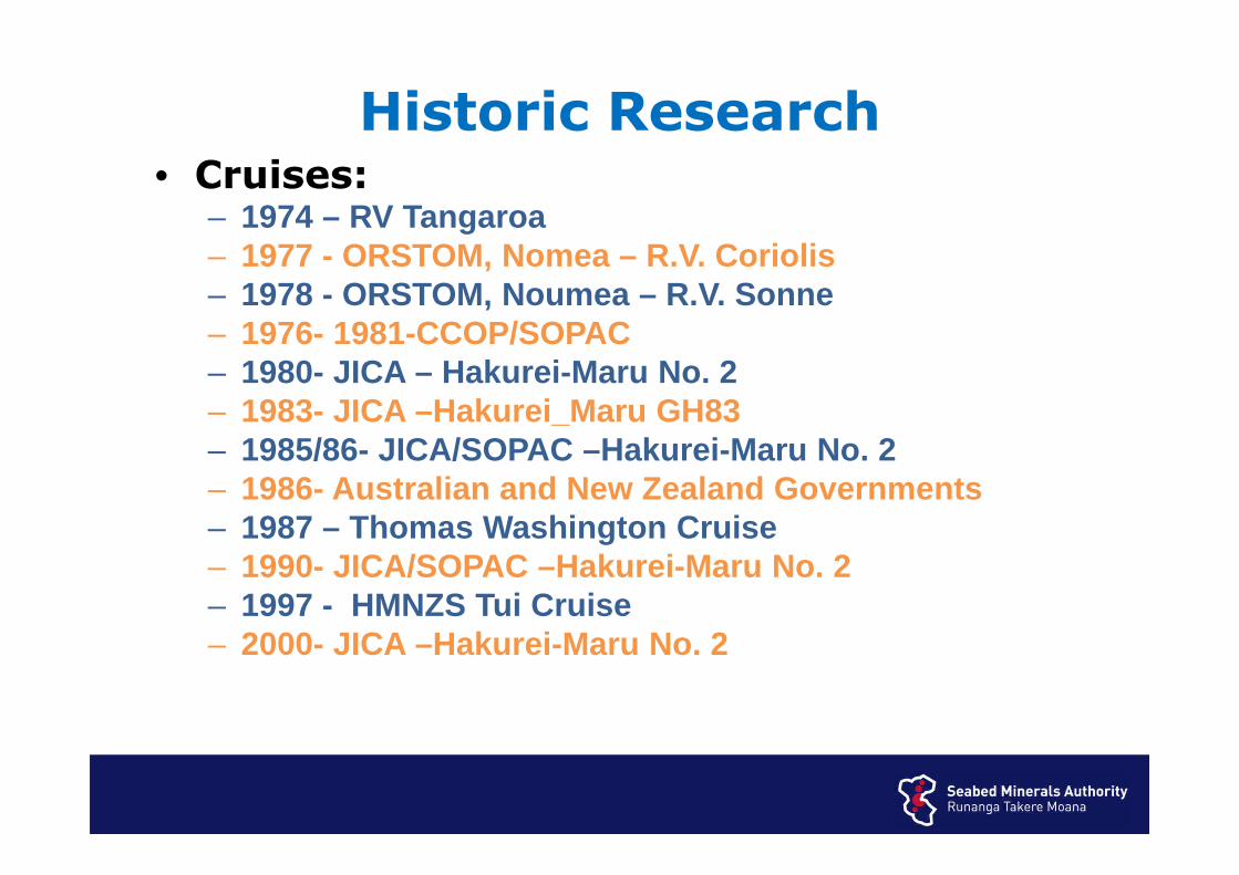
Historic Research• Cruises:
– 1974 – RV Tangaroa– 1977 - ORSTOM, Nomea – R.V. Coriolis– 1978 - ORSTOM, Noumea – R.V. Sonne– 1976- 1981-CCOP/SOPAC – 1980- JICA – Hakurei-Maru No. 2– 1983- JICA –Hakurei_Maru GH83– 1985/86- JICA/SOPAC –Hakurei-Maru No. 2– 1986- Australian and New Zealand Governments – 1987 – Thomas Washington Cruise– 1990- JICA/SOPAC –Hakurei-Maru No. 2– 1997 - HMNZS Tui Cruise– 2000- JICA –Hakurei-Maru No. 2
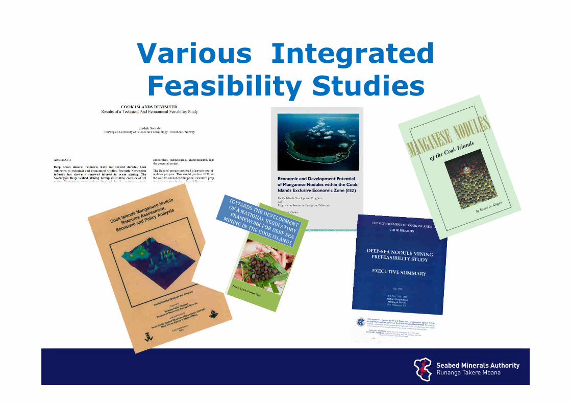
Various Integrated Feasibility Studies
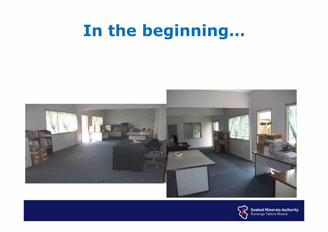
In the beginning…
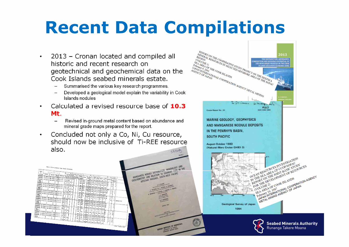
• 2013 – Cronan located and compiled all historic and recent research on geotechnical and geochemical data on the Cook Islands seabed minerals estate.
– Summarised the various key research programmes.– Developed a geological model explain the variability in Cook
Islands nodules
• Calculated a revised resource base of 10.3 Mt.
– Revised in-ground metal content based on abundance and mineral grade maps prepared for the report.
• Concluded not only a Co, Ni, Cu resource, should now be inclusive of Ti-REE resource also.
Recent Data Compilations
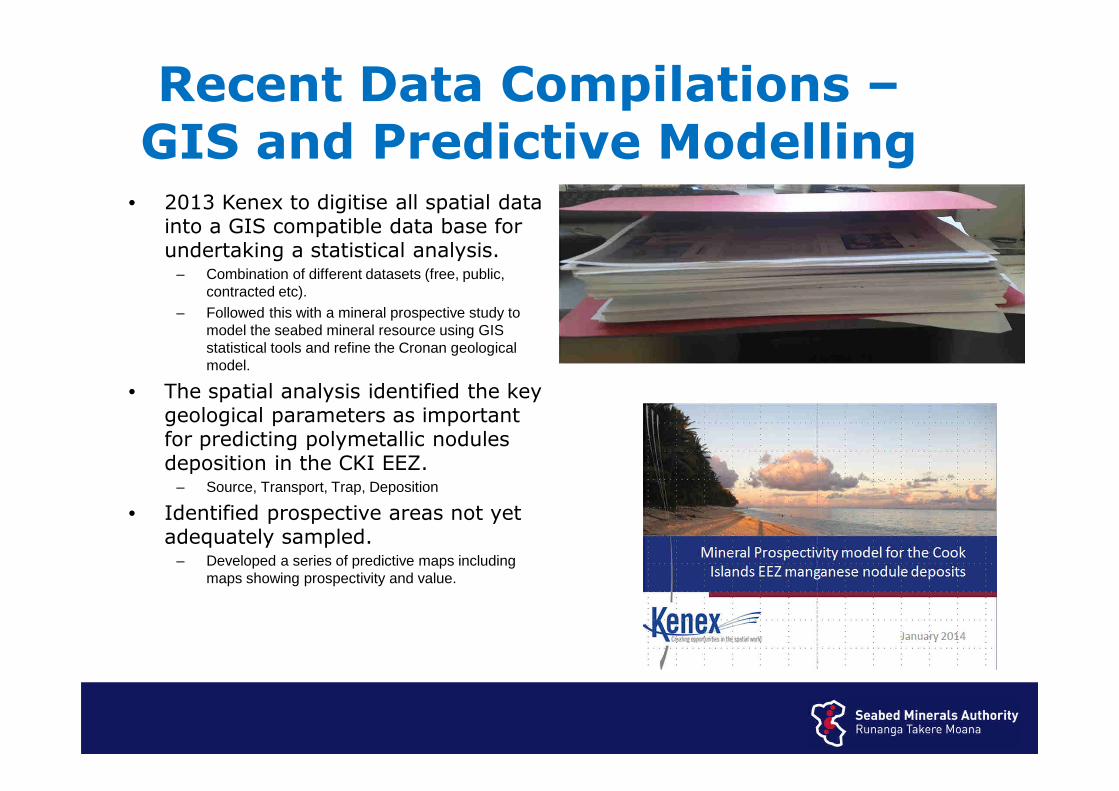
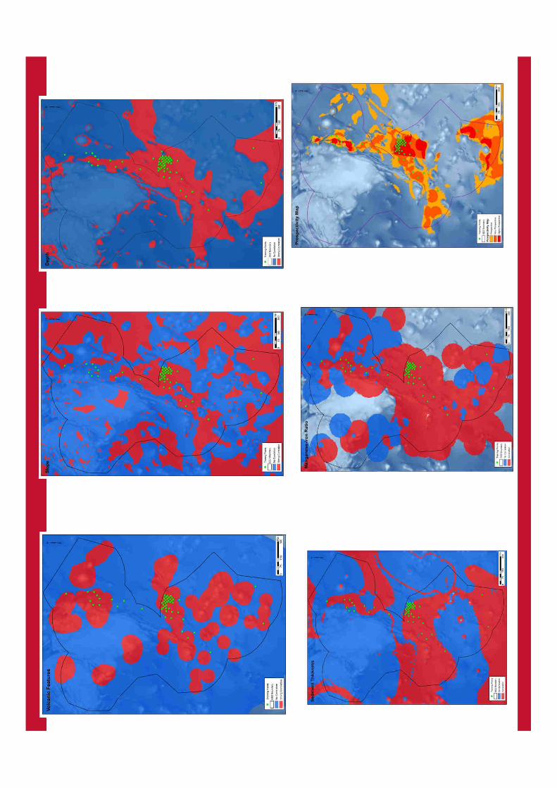
• 2013 Kenex to digitise all spatial data into a GIS compatible data base for undertaking a statistical analysis.
– Combination of different datasets (free, public, contracted etc).
– Followed this with a mineral prospective study to model the seabed mineral resource using GIS statistical tools and refine the Cronan geological model.
• The spatial analysis identified the key geological parameters as important for predicting polymetallic nodules deposition in the CKI EEZ.
– Source, Transport, Trap, Deposition
• Identified prospective areas not yet adequately sampled.
– Developed a series of predictive maps including maps showing prospectivity and value.
Recent Data Compilations –GIS and Predictive Modelling
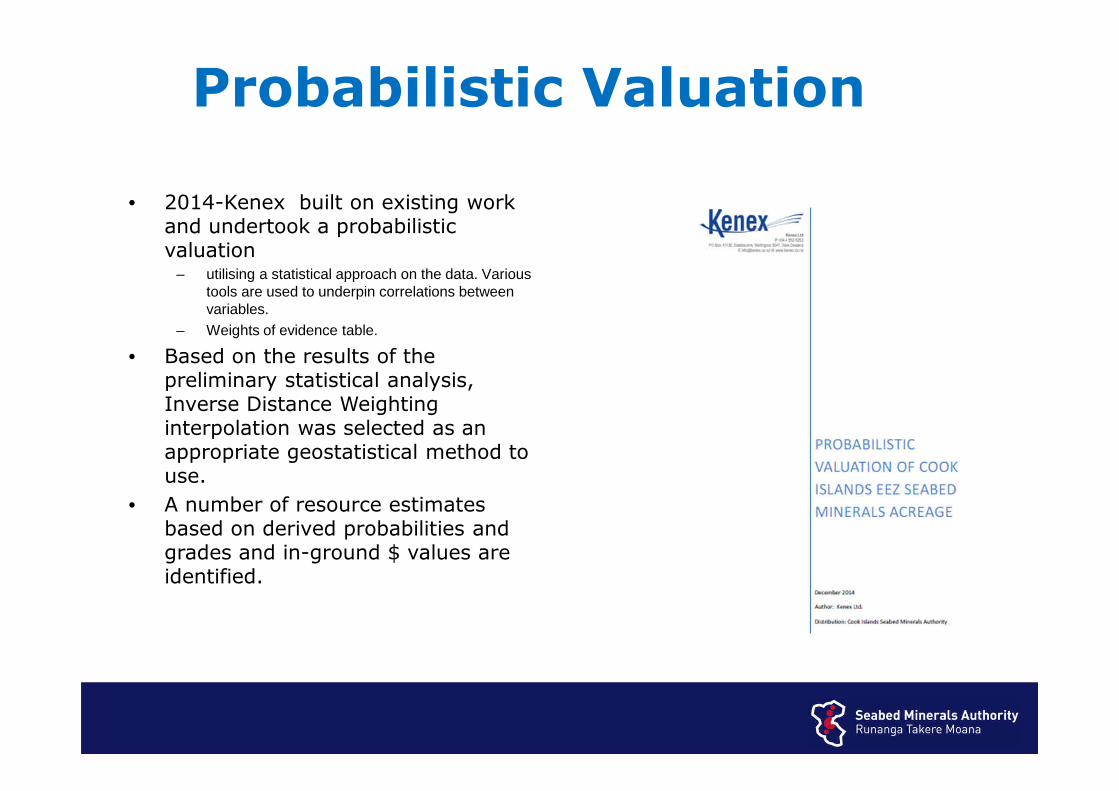
• 2014-Kenex built on existing work and undertook a probabilistic valuation
– utilising a statistical approach on the data. Various tools are used to underpin correlations between variables.
– Weights of evidence table.
• Based on the results of the preliminary statistical analysis, Inverse Distance Weighting interpolation was selected as an appropriate geostatistical method to use.
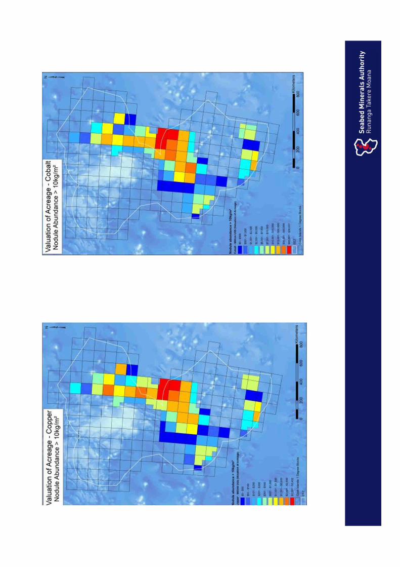
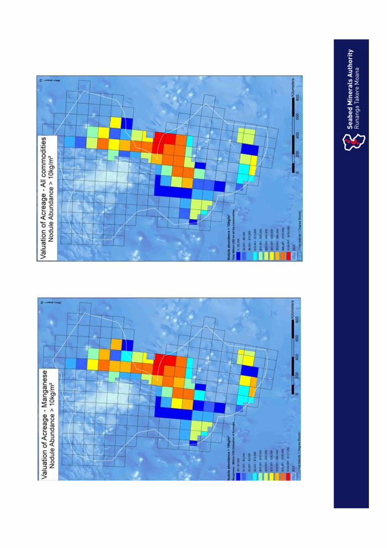
• A number of resource estimates based on derived probabilities and grades and in-ground $ values are identified.
Probabilistic Valuation
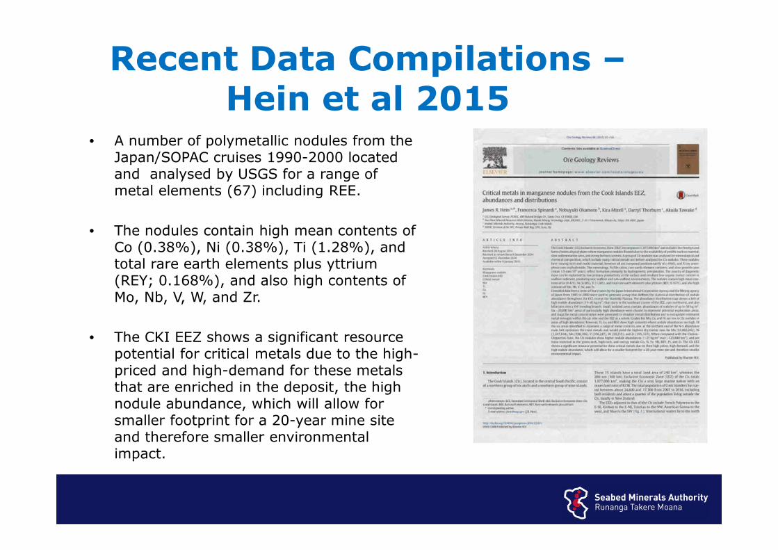
• A number of polymetallic nodules from the Japan/SOPAC cruises 1990-2000 located and analysed by USGS for a range of metal elements (67) including REE.
• The nodules contain high mean contents of Co (0.38%), Ni (0.38%), Ti (1.28%), and total rare earth elements plus yttrium (REY; 0.168%), and also high contents of Mo, Nb, V, W, and Zr.
• The CKI EEZ shows a significant resource potential for critical metals due to the high-priced and high-demand for these metals that are enriched in the deposit, the high nodule abundance, which will allow for smaller footprint for a 20-year mine site and therefore smaller environmental impact.
Recent Data Compilations –Hein et al 2015
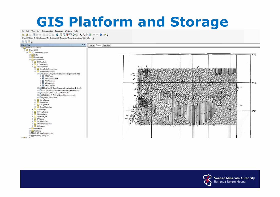
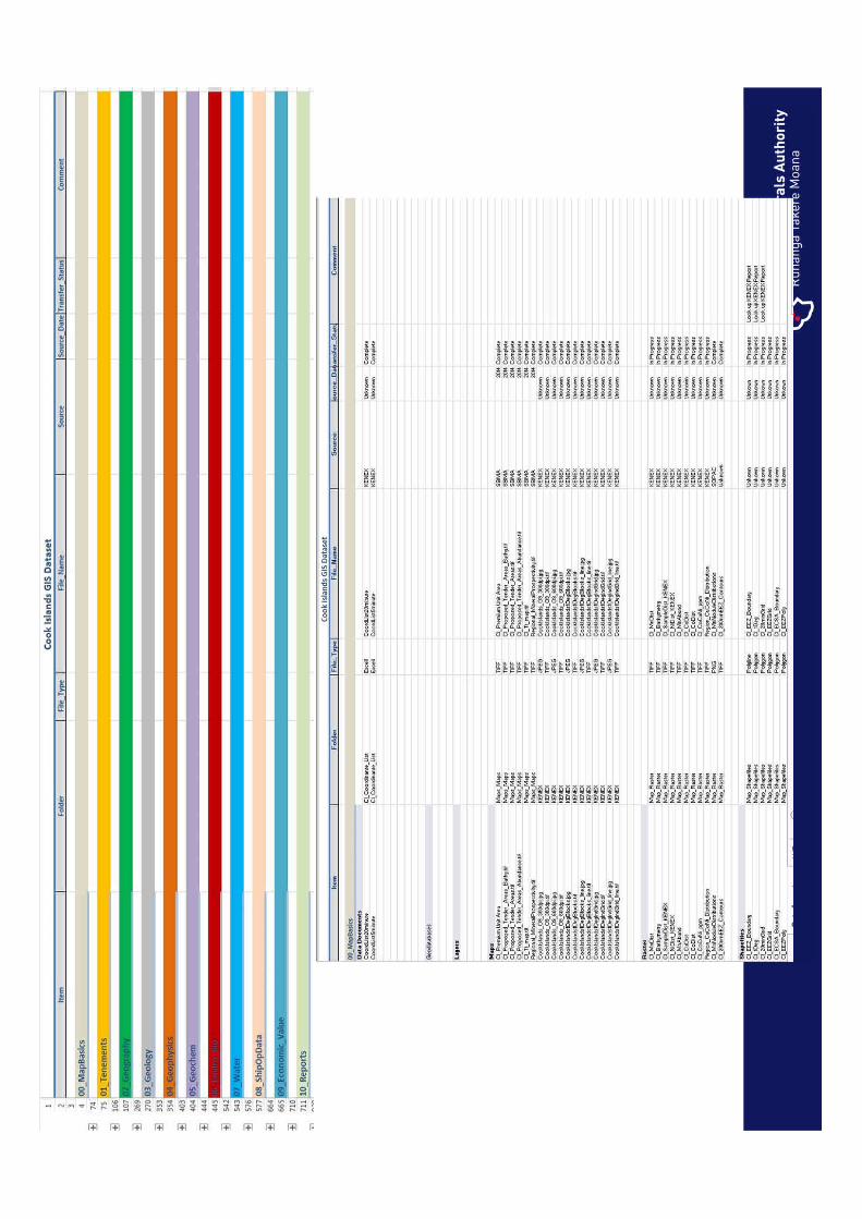
GIS Platform and Storage
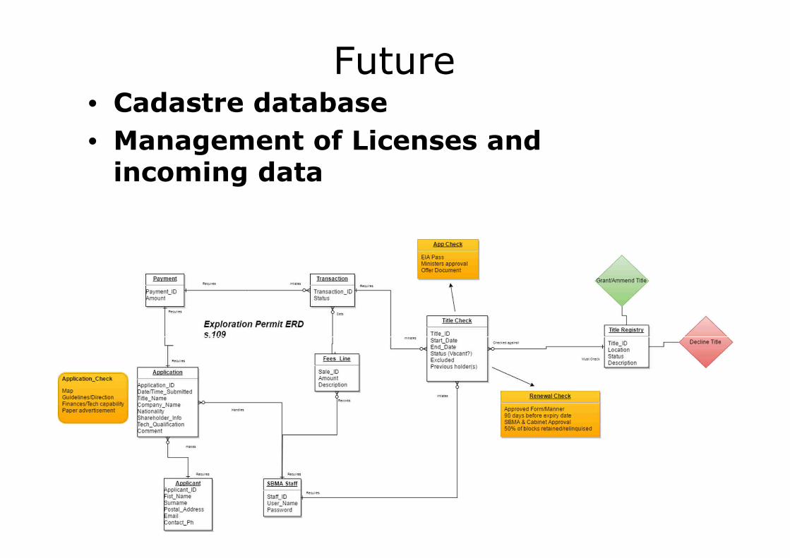
Future• Cadastre database
• Management of Licenses and incoming data
Meitaki Maata
3D Video
Related Documents