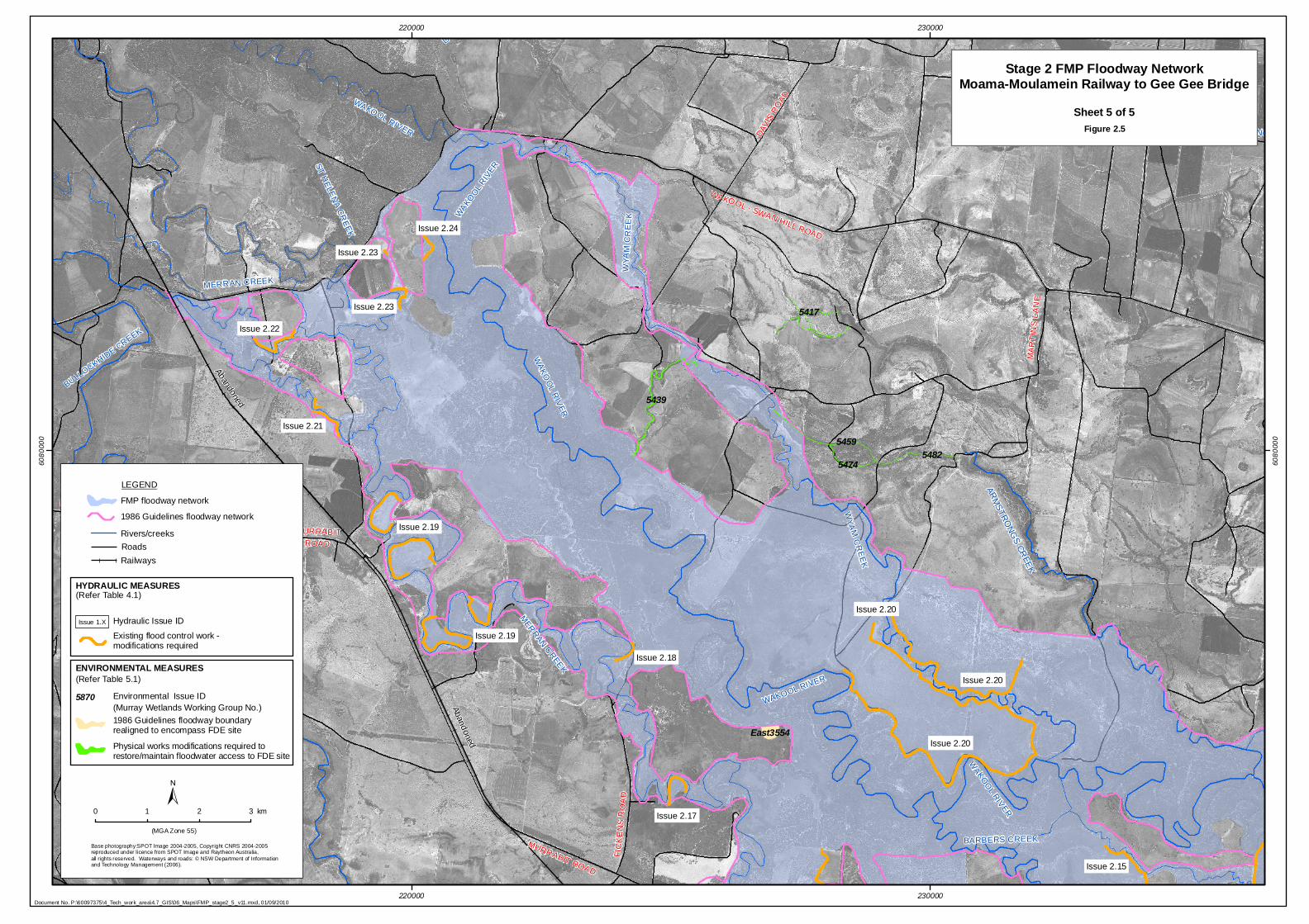
A R M ST RO NG S C R E EK Ab a n do n e d A b a n d o n e d CH A N N EL NO 8B SO U T HER N S T H E LE N A C R E E K B U LL O C K H I D E C R E E K B A R B E R S C R E E K W A K O O L R IV ER WA K O O L R I V E R W A K O OL RIVE R W YA M C R E E K WY A M C R E E K C H AN N E L N O L A M E R R A N C R E E K ME RRA N CRE EK WA KO O L R IV ER W A K O O L R I V ER M U R R A B I T R O A D FI CKENS R OAD M AR T I N S LAN E W AK O O L - S W A N H I L L R O AD COBR A M UNGA R OAD DAV I S R O AD M U R R A B I T R O A D COBRA M UNGA RO A D M U R R A B I T R O A D Issue 2.24 Issue 2.23 Issue 2.23 Issue 2.22 Issue 2.21 Issue 2.20 Issue 2.20 Issue 2.20 Issue 2.19 Issue 2.19 Issue 2.18 Issue 2.17 Issue 2.15 5417 5439 5459 5474 5482 East3554 220000 220000 230000 230000 6080000 6080000 Stage 2 FMP Floodway Network Moama-Moulamein Railway to Gee Gee Bridge Sheet 5 of 5 Figure 2.5 (MGA Zone 55) ± 0 1 2 3 km Base photography:SPOT Image 2004-2005, Copyright CNRS 2004-2005 reproduced under licence from SPOT Image and Raytheon Australia, all rights reserved. Waterways and roads: © NSW Department of Information and Technology Management (2006). HYDRAULIC MEASURES Issue 1.X ENVIRONMENTAL MEASURES 1986 Guidelines floodway boundary realigned to encompass FDE site Physical works modifications required to restore/maintain floodwater access to FDE site (Murray Wetlands Working Group No.) 5870 Existing flood control work - modifications required Hydraulic Issue ID (Refer Table 4.1) (Refer Table 5.1) Environmental Issue ID Document No. P:\60097375\4_Tech_work_area\4.7_GIS\06_Maps\FMP_stage2_5_v11.mxd, 01/09/2010 1986 Guidelines floodway network LEGEND Railways FMP floodway network Rivers/creeks Roads

Welcome message from author
This document is posted to help you gain knowledge. Please leave a comment to let me know what you think about it! Share it to your friends and learn new things together.
Transcript
ARM
STRONG
S CREEK
Abandoned
Abandoned
CHANNEL NO 8B SOUTHERN
ST HELE
NA C
REE
K
BULLOCKHIDE CREEK
BARBERS CREEK
WAKO
OL RIVER
WAKOOL RIVER
WA
KOO
L RIV
ER
WYA
M C
RE
EK
WYA
M C
RE
EK
CHANNEL NO
LA
MERRAN CREEK
MER
RAN CREEK
WAKO
OL
RIVER
WAKOOL RIVER
MURRABIT ROAD
FIC
KE
NS
RO
AD
MA
RT
INS
LA
NE
WAKO OL - SWAN HILL ROAD
CO
BR
AM
UN
GA
RO
AD
DAVI
S R
OAD
MURRABIT ROAD
CO
BR
AMU
NG
A R
OA
D
MURRABITROAD
Issue 2.24
Issue 2.23
Issue 2.23
Issue 2.22
Issue 2.21
Issue 2.20
Issue 2.20
Issue 2.20
Issue 2.19
Issue 2.19
Issue 2.18
Issue 2.17
Issue 2.15
5417
5439
5459
54745482
East3554
220000
220000
230000
230000
6080
000
6080
000
Stage 2 FMP Floodway NetworkMoama-Moulamein Railway to Gee Gee Bridge
Sheet 5 of 5Figure 2.5
(MGA Zone 55)
±0 1 2 3 km
Base photography:SPOT Image 2004-2005, Copyright CNRS 2004-2005reproduced under licence from SPOT Image and Raytheon Australia, all rights reserved. Waterways and roads: © NSW Department of Informationand Technology Management (2006).
HYDRAULIC MEASURES
Issue 1.X
ENVIRONMENTAL MEASURES
1986 Guidelines floodway boundary realigned to encompass FDE site
Physical works modifications required to restore/maintain floodwater access to FDE site
(Murray Wetlands Working Group No.)5870
Existing flood control work - modifications required
Hydraulic Issue ID
(Refer Table 4.1)
(Refer Table 5.1)
Environmental Issue ID
Document No. P:\60097375\4_Tech_work_area\4.7_GIS\06_Maps\FMP_stage2_5_v11.mxd, 01/09/2010
1986 Guidelines floodway network
LEGEND
Railways
FMP floodway network
Rivers/creeksRoads
Related Documents