Bentley PowerMap Field A field data collection and as-built reporting solution

Bentley PowerMap Field A field data collection and as-built reporting solution A field data collection and as-built reporting solution.
Dec 16, 2015
Welcome message from author
This document is posted to help you gain knowledge. Please leave a comment to let me know what you think about it! Share it to your friends and learn new things together.
Transcript
Bentley PowerMap FieldBentley PowerMap Field
A field data collection and as-built reporting solution
A field data collection and as-built reporting solution
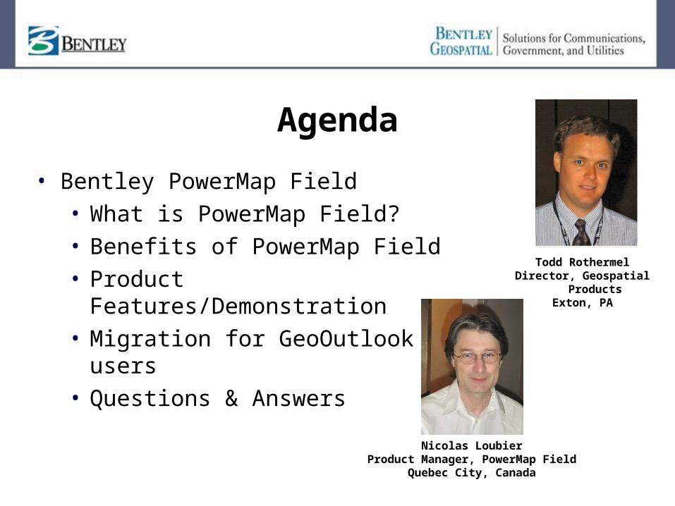
Agenda
• Bentley PowerMap Field• What is PowerMap Field?• Benefits of PowerMap Field• Product Features/Demonstration• Migration for GeoOutlook users• Questions & Answers
Todd RothermelDirector, Geospatial
ProductsExton, PA
Nicolas LoubierProduct Manager, PowerMap Field
Quebec City, Canada
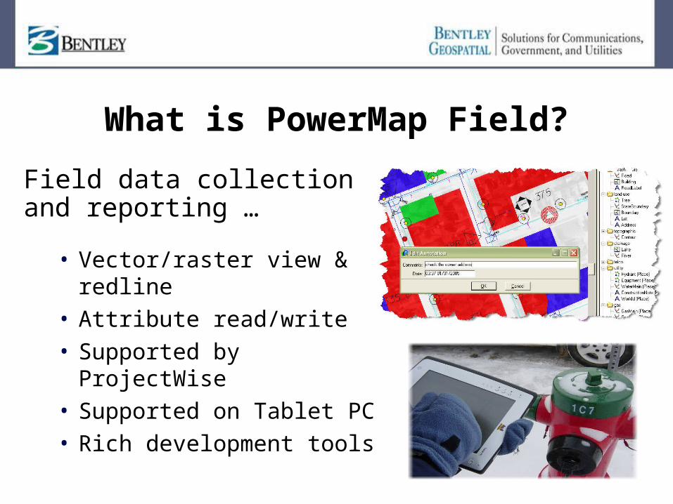
What is PowerMap Field?
Field data collection and reporting …
• Vector/raster view & redline
• Attribute read/write• Supported by ProjectWise• Supported on Tablet PC• Rich development tools
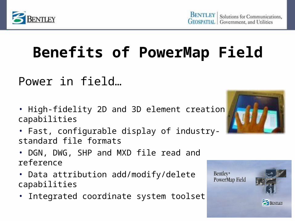
Benefits of PowerMap Field
Power in field…
• High-fidelity 2D and 3D element creation capabilities • Fast, configurable display of industry-standard file formats • DGN, DWG, SHP and MXD file read and reference • Data attribution add/modify/delete capabilities • Integrated coordinate system toolset

Features of PowerMap Field
High-performance display engine
Features of PowerMap Field
Superior Navigation
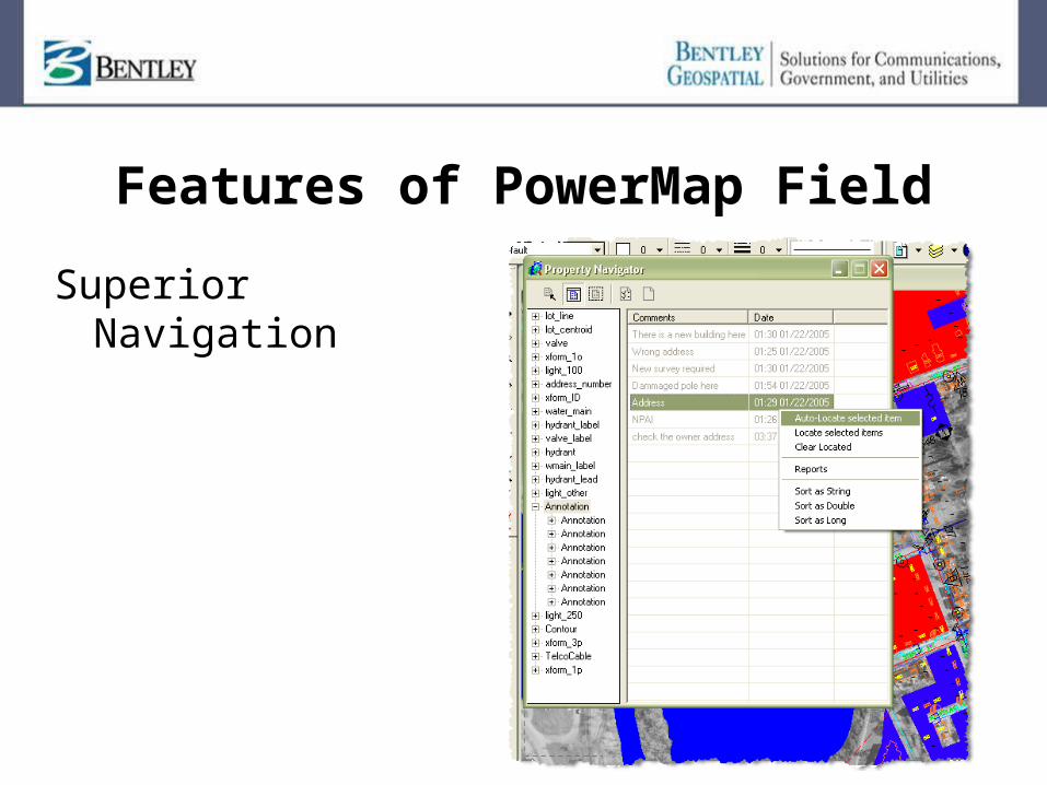
Features of PowerMap Field
Attribute Editing and Viewing
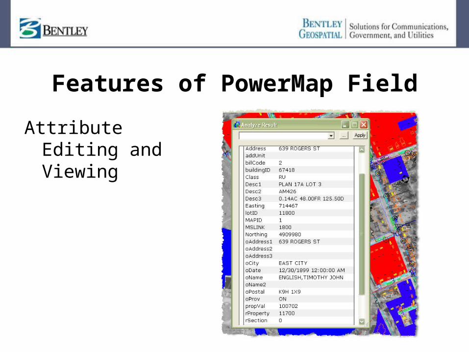
Features of PowerMap Field
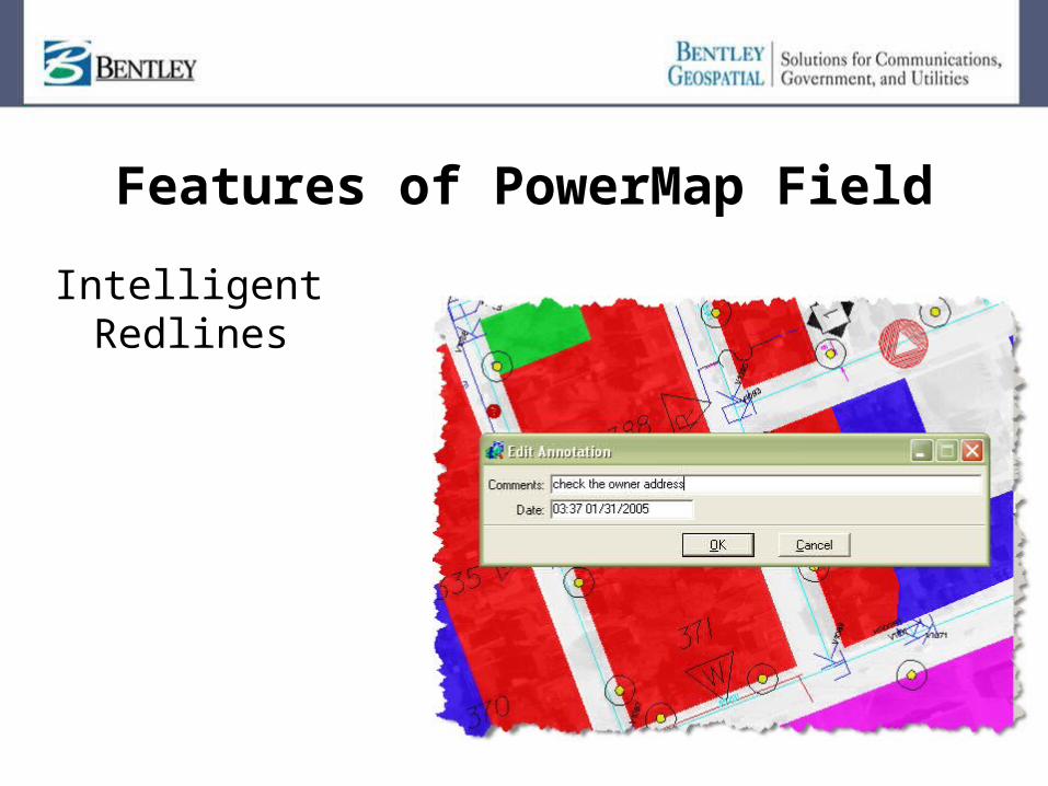
Intelligent Redlines
Features of PowerMap Field
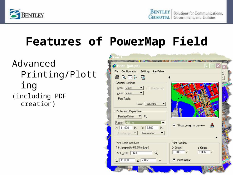
Advanced Printing/Plotting
(including PDF creation)
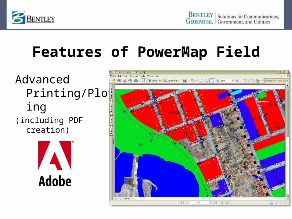
Features of PowerMap Field
Advanced Printing/Plotting
(including PDF creation)
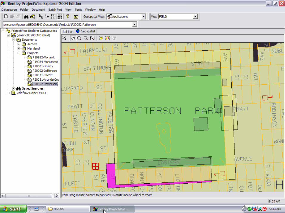
Bentley PowerMap Field Demo
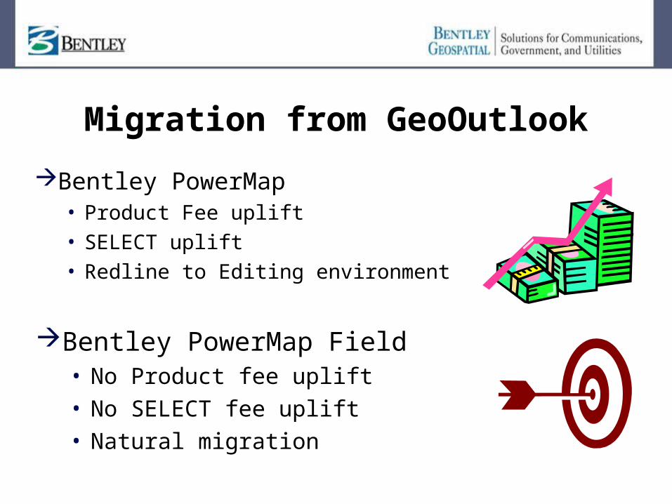
Migration from GeoOutlook
Bentley PowerMap• Product Fee uplift• SELECT uplift• Redline to Editing environment
Bentley PowerMap Field• No Product fee uplift• No SELECT fee uplift• Natural migration
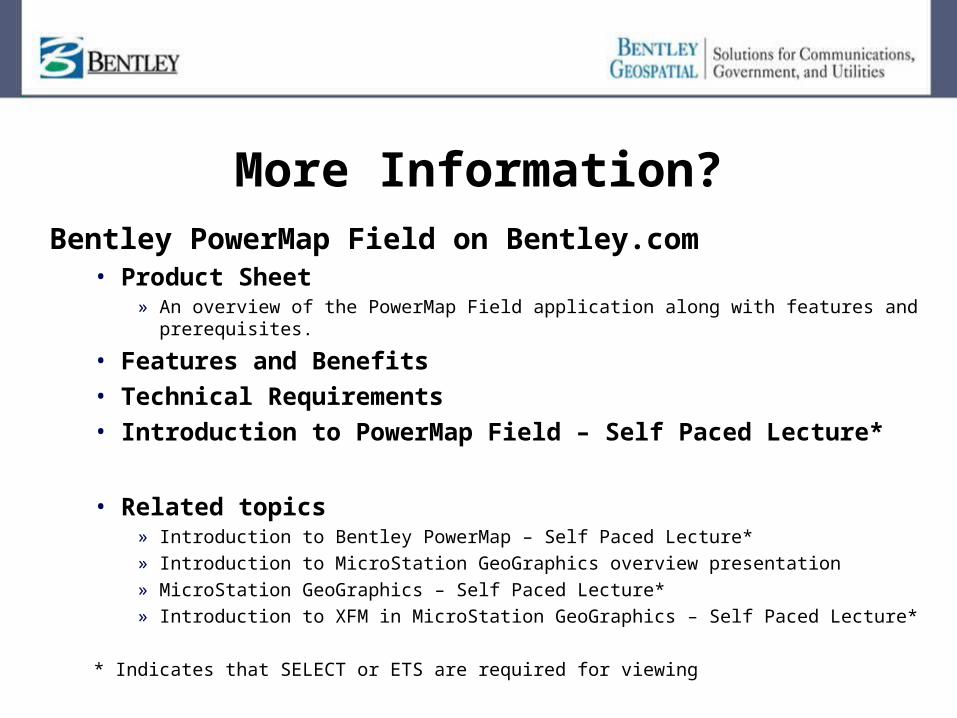
More Information?Bentley PowerMap Field on Bentley.com
• Product Sheet» An overview of the PowerMap Field application along with features and
prerequisites.
• Features and Benefits• Technical Requirements• Introduction to PowerMap Field – Self Paced Lecture*
• Related topics» Introduction to Bentley PowerMap – Self Paced Lecture*» Introduction to MicroStation GeoGraphics overview presentation» MicroStation GeoGraphics – Self Paced Lecture*» Introduction to XFM in MicroStation GeoGraphics – Self Paced Lecture*
* Indicates that SELECT or ETS are required for viewing
Questions
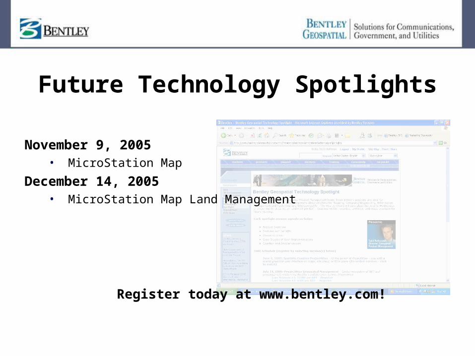
Future Technology Spotlights
November 9, 2005• MicroStation Map
December 14, 2005 • MicroStation Map Land Management
Register today at www.bentley.com!
Related Documents